world.wikisort.org - United_Kingdom
Briston is a village, civil parish and electoral ward in the English county of Norfolk that contains the hamlet of Briston Common.[1] The village is 11 miles (18 km) east north east of the town of Fakenham, 13.3 miles (21.4 km) west south west of Cromer, 20.3 miles (32.7 km) north north west of the city of Norwich, and 125 miles (201 km) north north east of London. The nearest railway station is at Sheringham for the Bittern Line which runs between Sheringham, Cromer and Norwich but a steam line is also available from Holt to Sheringham. The nearest airport is Norwich International Airport. The civil parish had in 2001 census, a population of 2,021, increasing to 2,439 at the 2011 Census.[2] For the purposes of local government, the parish falls within the district of North Norfolk. The village is situated on the route of the B1354 that runs between the A148 at Thursford and the B1149 at Saxthorpe.[3]
| Briston | |
|---|---|
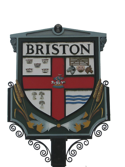 The village sign | |
 Briston Location within Norfolk | |
| Area | 11.96 km2 (4.62 sq mi) |
| Population | 2,439 (parish, 2011 census) |
| • Density | 204/km2 (530/sq mi) |
| OS grid reference | TG060320 |
| • London | 125 miles (201 km) |
| Civil parish |
|
| District |
|
| Shire county |
|
| Region |
|
| Country | England |
| Sovereign state | United Kingdom |
| Post town | MELTON CONSTABLE |
| Postcode district | NR24 |
| Dialling code | 01263 |
| Police | Norfolk |
| Fire | Norfolk |
| Ambulance | East of England |
| UK Parliament |
|
History
The name Briston derives from Brurstuna, the settlement on the River Bure. Briston has an entry in the Domesday Book of 1085.[4] In the great book Briston is recorded by the name Brurstuna. The main landholder was William de Warenne who owned 60 acres (240,000 m2) of land from which had been previously the property of Toke, a Saxon Thegn who had been evicted after the defeat of the King Harold at the Battle of Hastings in 1066. This land was farmed by three Free Men or Socman and a further 280 acres (1.1 km2) was farmed by fourteen bordars. There was a pannage or woodland for 20 pigs which was valued at 16 shillings.
The villages name means 'Land-slip farm/settlement'.
Village amenities
This section does not cite any sources. (March 2019) |
Within the village there is a bakery, two butcher's shops, fishmonger, a grocer's, a small plant nursery, antique shop and minimarket with Post Office. There are two garages, one in the village itself, and one on the outskirts of neighbouring Melton Constable; that also supplies petrol. In Melton Constable there is also a secondary minimarket with post office, Indian, Chinese, cleaners, dog Groomers, pet food shop, kebab, art and antiques shop, butchers, artisan bakery with cafe and a wellness studio along with a village surgery. Astley Primary school caters for younger children; older children go to High Schools at Reepham or Fakenham. Gresham's public school in Holt is also available and is the closest school that provides secondary education. There is a community centre ('The Pavilion') that hosts a Youth Club and monthly film shows. For sport the village has a playing field with tennis courts, football pitches and a skate park, a bowling green and a playground for the children of the village (all attached to The Pavilion). There are two public houses in the village. On the outskirts of the village is the Three Horseshoes, a 16th-century gastropub with open log fire and oak beams that has undergone large scale refurbishment. In the centre of the village is the recently closed Green Man pub, which has now re-opened as the Explorers Bar . Nearby is the Copeman Centre, the former primary school, but for many years now the Village Hall. The local playschool meets here, as does the local dramatic group, the North Norfolk Players; there are also regular shows of popular live keyboard and organ music. Also in the village is a lively Day Care Centre for local senior residents which meets two days a week, and provides good company, lunches, entertainment, and trips out in their minibus. Plenty of public footpaths are available linking all ends of the long village together which provide well for dog walkers.
All Saints' parish church
The parish church of All Saints is unusual in that there is no church tower. It originally had a round tower but this collapsed in 1785[5] and was never re-built. In the towers place was built a bell-cote consisting of two plain brick pillars. The churches east window is decorated in a 14th-century style and the chancel screen was erected in memory of a former rector of the church the Reverend Charles Norris and dates from 1875. The church has a strange curiosity, a metal cello which was made by the village blacksmith in 1700, which is kept in a glass case at the back of the church. Mr Clithero, the blacksmith would play the instrument for many years in the church.[6]
References
- OS Explorer Map 24 - Norfolk Coast Central. ISBN 0-319-21726-4.
- "Ward/Parish population 2011". Retrieved 25 August 2015.
- County A to Z Atlas, Street & Road maps Norfolk, page 228 ISBN 978-1-84348-614-5
- The Domesday Book, Englands Heritage, Then and Now, Editor: Thomas Hinde,Norfolk page 187, Briston, ISBN 1-85833-440-3
- Norfolk 1: Norwich and North-East, By Nikolaus Pevsner and Bill Wilson, Briston entry. ISBN 0-300-09607-0
- The Popular Guide to Norfolk Churches,1:North-East Norfolk, By D.P. Mortlock & C.V. Roberts, 1981, Pub:Acorn Editions, Page 20 Briston All saints, ISBN 0-906554-04-7
http://kepn.nottingham.ac.uk/map/place/Norfolk/Briston
External links
![]() Media related to Briston at Wikimedia Commons
Media related to Briston at Wikimedia Commons
Другой контент может иметь иную лицензию. Перед использованием материалов сайта WikiSort.org внимательно изучите правила лицензирования конкретных элементов наполнения сайта.
WikiSort.org - проект по пересортировке и дополнению контента Википедии