world.wikisort.org - United_Kingdom
Edgefield is a village and a civil parish in the English county of Norfolk.[1] The village is 13.6 miles (21.9 km) east-north-east of the town of Fakenham, 12.4 miles (20.0 km) west-south-west of Cromer and 127 miles (204 km) north-north-east of London. The nearest town is Holt which lies 3.3 miles (5.3 km) north of the village. The nearest railway station is at Sheringham for the Bittern Line which runs between Sheringham, Cromer and Norwich. The nearest airport is Norwich International Airport. The village is situated on the B1149 Norwich to Holt road.[2] The parish had, in the 2001 census, a population of 393, reducing to 385 at the 2011 Census.[3] For the purposes of local government, the parish falls within the district of North Norfolk.
| Edgefield | |
|---|---|
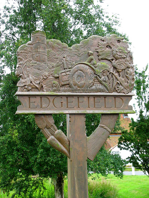 Edgefield Village sign | |
 Edgefield Location within Norfolk | |
| Area | 10.07 km2 (3.89 sq mi) |
| Population | 385 (2011 census) |
| • Density | 38/km2 (98/sq mi) |
| OS grid reference | TG0934 |
| • London | 127 miles (204 km) |
| Civil parish |
|
| District |
|
| Shire county |
|
| Region |
|
| Country | England |
| Sovereign state | United Kingdom |
| Post town | MELTON CONSTABLE |
| Postcode district | NR24 |
| Dialling code | 01263 |
| Police | Norfolk |
| Fire | Norfolk |
| Ambulance | East of England |
| UK Parliament |
|
Description
The village is spread over a large area with the centre concentrated around a village pond. There is a public house which is called The Pigs, it has a garage which now only fixes cars. The village no longer has a school but the old school is now used as a house. The War Memorial which stands on the village green, alongside the Norwich to Holt road, was renovated at a cost of £1,968 in 2004. The Memorial was rededicated on Remembrance Sunday of that year.
History
The villages name means 'Park open land'.
Edgefield has an entry in the Domesday Book of 1085.[4] In the great book Edgefield is recorded by the name of Edisfelda, the main landholders being Peter de Valognes and his main tenant, said to be Humphrey from Ranulf, brothers of Ilger. There is said to be a mill and 2 beehives. The village is described as being near the River Geet.
The parish church of Saint Peter and Saint Paul
The parish church of Saint Peter and Saint Paul was rebuilt in the 1880s[5] closer to the centre of the village at the instigation of the then rector, Canon Walter Herbert Marcon.[6] Marcon was rector here for sixty years from the 1870s to the 1930s, and is remembered in Norfolk as the cycling parson, and for moving his church half a mile, stone by stone. His daughter, Grace Marcon, was a militant suffragette who damaged paintings in the National Gallery.[7] She was buried here in 1965.[8]

The old church, although structurally sound, was in poor condition when Marcon, with the help of architect John Dando Sedding, decided to move the church. The new church was a reproduction of the old one, apart from the tower, using much of the masonry and fittings (such as the font, rood screen, pillars and windows) from the original, which stood a mile west.[5] Consecration took place in 1885 and the tower was built in 1907–09,[5] with a clock added in 1921.[5] The Canon is remembered in the new church where he is depicted riding his bicycle in a window, which also commemorates the building of the church. This window was installed in the church in the 1980s. The 13th century tower from the old church still stands in a farmyard on the road to Hunworth. It is octagonal in shape and built from flint and carrstone. The remnants and tower of the old church were renovated with grants from English Heritage in 1981. The rector and P.C.C. still have the responsibility for the tower, while responsibility for the churchyard has been passed to the civil authorities.
Gallery
 Remains of the old church tower
 The old graveyard of Saint Peter and Saint Paul's Church
 Stained glass roundel of "Canon Walter Herbert Marcon on his Bike" in the church


References
- OS Explorer Map 24 - Norfolk Coast Central. ISBN 0-319-21726-4.
- County A to Z Atlas, Street & Road maps Norfolk, Page 227, ISBN 978-1-84348-614-5
- "Parish population 2011". Retrieved 31 August 2015.
- The Domesday Book, England's Heritage, Then and Now, (Editor: Thomas Hinde), Norfolk, page 189, Edgefield, ISBN 1-85833-440-3
- "Norfolk 1: Norwich and North-East, By Nikolaus Pevsner and Bill Wilson, Edgfield entry. ISBN 0-300-09607-0
- The King’s England series, NORFOLK, by Arthur Mee,Pub:Hodder and Stoughton,1972, page 85 Edgefield, ISBN 0-340-15061-0
- "Celebrating Suffragette courage on London History Day". Museum of London. Retrieved 10 February 2020.
- Atkinson, Diane (8 February 2018). Rise Up Women!: The Remarkable Lives of the Suffragettes. Bloomsbury Publishing. ISBN 978-1-4088-4406-9.
http://kepn.nottingham.ac.uk/map/place/Norfolk/Edgefield
External links
![]() Media related to Edgefield, Norfolk at Wikimedia Commons
Media related to Edgefield, Norfolk at Wikimedia Commons
Другой контент может иметь иную лицензию. Перед использованием материалов сайта WikiSort.org внимательно изучите правила лицензирования конкретных элементов наполнения сайта.
WikiSort.org - проект по пересортировке и дополнению контента Википедии