world.wikisort.org - Australia
Liverpool Plains Shire is a local government area located in the North West Slopes region of New South Wales, Australia. The Shire was formed on 17 March 2004 by the amalgamation of Quirindi Shire with parts of Parry, Murrurundi and Gunnedah shires.
| Liverpool Plains Shire New South Wales | |||||||||||||||
|---|---|---|---|---|---|---|---|---|---|---|---|---|---|---|---|
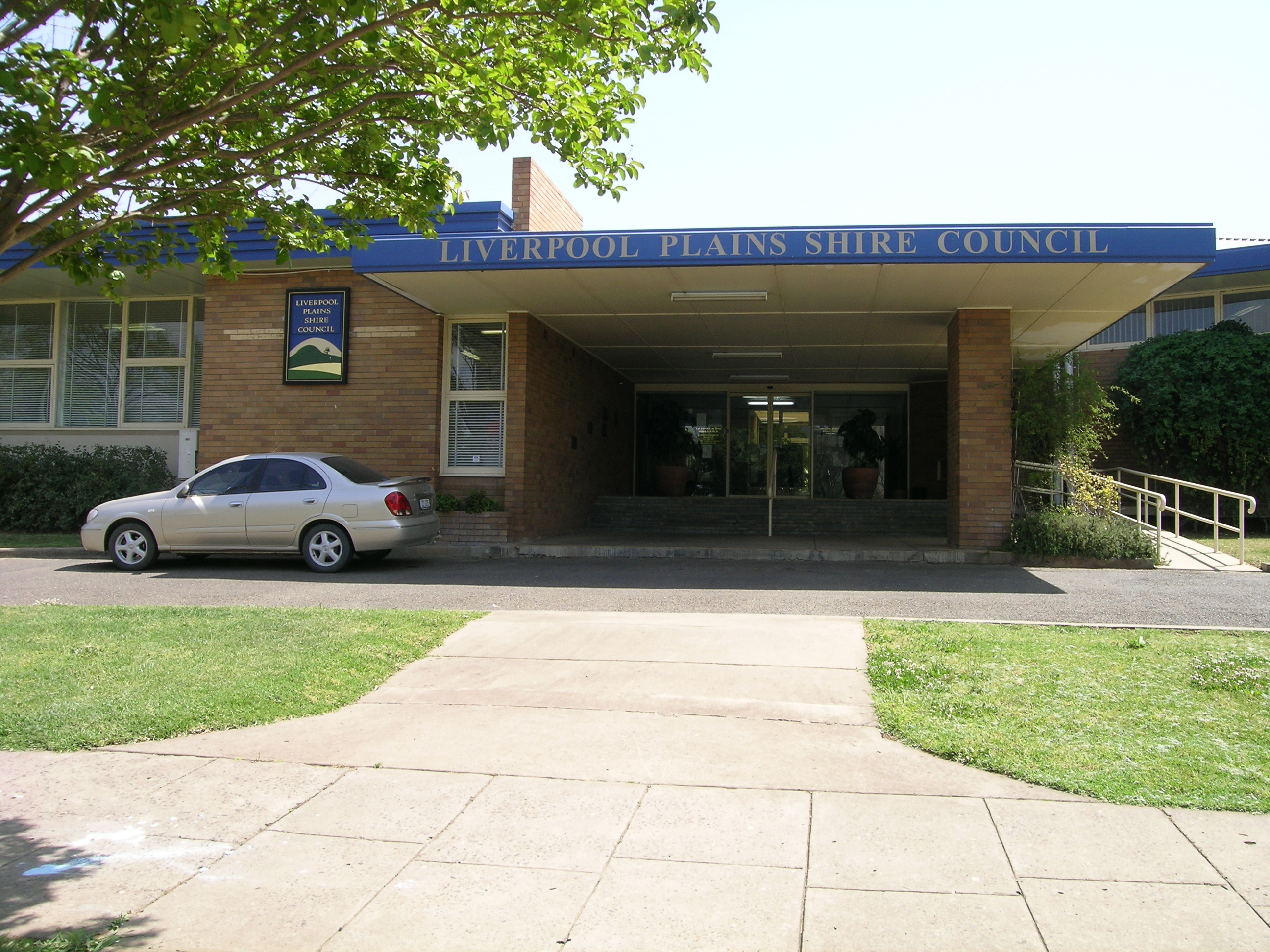 Council chambers in Quirindi | |||||||||||||||
 Location in New South Wales | |||||||||||||||
| Coordinates | 31°29′S 150°41′E | ||||||||||||||
| Population | 7,551 (2021 census)[1] | ||||||||||||||
| • Density | 1.48/km2 (3.8/sq mi) | ||||||||||||||
| Established | 2004 | ||||||||||||||
| Area | 5,086 km2 (1,963.7 sq mi) | ||||||||||||||
| Mayor | Doug Hawkins OAM | ||||||||||||||
| Council seat | Quirindi | ||||||||||||||
| Region | North West Slopes | ||||||||||||||
| State electorate(s) |
| ||||||||||||||
| Federal division(s) | New England | ||||||||||||||
 | |||||||||||||||
| Website | Liverpool Plains Shire | ||||||||||||||
| |||||||||||||||
The Mayor of Liverpool Plains Shire Council is Cr. Doug Hawkins OAM.
Main towns
The main town and Council seat is located in Quirindi. Other towns and villages in the Shire include Ardglen, Blackville, Caroona, Currabubula, Premer, Spring Ridge, Wallabadah, Werris Creek, and Willow Tree.
Heritage listings
The Liverpool Plains Shire has a number of heritage-listed sites, including:
- Pine Ridge, Windy Road: Windy Station Woolshed[2]
- Quirindi, Main Northern railway: Quirindi railway station[3]
- Warrah Creek, Merriwa-Murrurundi Road: East Warrah Woolshed[4]
- Werris Creek, Main Northern railway: Werris Creek railway station[5]
Demographics
At the 2011 census, there were 7,480 people in the Liverpool Plains Shire local government area, of these 50.4 per cent were male and 49.6 per cent were female. Aboriginal and Torres Strait Islander people made up 10.9 per cent of the population, which was three times higher than the national and state averages of 2.5 per cent. The median age of people in the Liverpool Plains Shire was 44 years, which was significantly higher than the national median of 37 years. Children aged 0 – 14 years made up 19.5 per cent of the population and people aged 65 years and over made up 20.2 per cent of the population. Of people in the area aged 15 years and over, 50.8 per cent were married and 12.1 per cent were either divorced or separated.[1]
Population growth in the Liverpool Plains Shire between the 2006 census and the 2011 census was −0.80 per cent. When compared with total population growth of Australia for the same period, being 8.32 per cent, population growth in the Liverpool Plains Shire local government area was significantly lower than the national average.[6] The median weekly income for residents within the Liverpool Plains Shire was significantly lower than the national average.[1]
At the 2011 census, the proportion of residents in the Liverpool Plains Shire local government area who stated their ancestry as Australian or Anglo-Saxon exceeded 88 per cent of all residents (national average was 65.2 per cent). In excess of 75% of all residents in the Liverpool Plains Shire nominated a religious affiliation with Christianity at the 2011 census, which was much higher than the national average of 50.2 per cent. Meanwhile, as at the census date, compared to the national average, households in the Liverpool Plains Shire local government area had a significantly lower than average proportion (2.1 per cent) where two or more languages are spoken (national average was 20.4 per cent); and a significantly higher proportion (94.5 per cent) where English only was spoken at home (national average was 76.8 per cent).[1]
| Selected historical census data for the Liverpool Plains Shire local government area | |||||
|---|---|---|---|---|---|
| Census year | 2001 | 2006[6] | 2011[1] | 2021[7] | |
| Population | Estimated residents on Census night | n/a | 7,540 | 7,480 | 7,551 |
| LGA rank in terms of size within New South Wales | |||||
| % of New South Wales population | 0.11% | ||||
| % of Australian population | n/a | 0.04% | |||
| Cultural and language diversity | |||||
| Ancestry, top responses | Australian | 38.4% | |||
| English | 30.6% | ||||
| Australian Aboriginal | 13.6% | ||||
| Irish | 8.8% | ||||
| Scottish | 7.5% | ||||
| German | 2.8% | ||||
| Language, top responses (other than English) | Italian | nom | |||
| Cantonese | 0.3% | ||||
| Vietnamese | n/c | ||||
| German | n/c | ||||
| Afrikaans | n/c | ||||
| Religious affiliation | |||||
| Religious affiliation, top responses | Anglican | 42.7% | |||
| Catholic | 23.9% | ||||
| No Religion | 8.4% | ||||
| Uniting Church | 6.3% | ||||
| Presbyterian and Reformed | 3.6% | ||||
| Median weekly incomes | |||||
| Personal income | Median weekly personal income | A$438 | A$433 | A$620 | |
| % of Australian median income | 94.0% | ||||
| Family income | Median weekly family income | A$1,090 | A$988 | A$1,479 | |
| % of Australian median income | 93.1% | ||||
| Household income | Median weekly household income | A$882 | A$797 | A$1,165 | |
| % of Australian median income | 85.9% | ||||
Council
Current composition and election method
Liverpool Plains Shire Council is composed of seven Councillors elected proportionally as a single ward. All Councillors are elected for a fixed four-year term of office. The Mayor is elected by the Councillors at the first meeting of the Council. The most recent election was held on 10 September 2016, and the makeup of the Council is as follows:[8]
| Party | Councillors | |
|---|---|---|
| Independents and Unaligned | 7 | |
| Total | 7 | |
The current Council, elected in 2016, in order of election, is:[8]
| Councillor | Party | Notes | |
|---|---|---|---|
| Andrew Hope | Unaligned | Mayor[9] | |
| Ian Lobsey | Independent | ||
| Virginia Black | Independents | ||
| Ken Cudmore | Unaligned | ||
| Doug Hawkins | Unaligned | Deputy Mayor[9] | |
| Paul Moules | Independent | ||
| Rob Webster | Independent | ||
Geography
The Liverpool Plains have a generally flat to undulating terrain formed from the remnants of old volcanoes such as that of the Liverpool Ranges to the southwest. To the south and east, it merges into the higher and cooler Northern Tablelands.
The Liverpool Plains is generally regarded as the richest agricultural region in Australia owing to its rich black soils, which originally supported a mixed grassland vegetation containing both annual and perennial grasses, which early in the region's history were used to feed cattle and sheep.
Wheat and cotton are the chief crops, although production fluctuates wildly according to rainfall and soil erosion is a major problem occurring both after droughts and floods. The climate is hot in summer, mild in winter, and of moderate rainfall. The average is generally around 635 millimetres (25.0 in) with a slight summer maximum, but is quite erratic and can vary from 1,150 millimetres (45 in) in very wet years to as little as 370 millimetres (15 in). Temperatures in summer frequently exceed 35 °C (95 °F) and make cropping without irrigation risky without sophisticated meteorological forecasting techniques.
References
- Australian Bureau of Statistics (27 June 2017). "Liverpool Plains (A)". 2016 Census QuickStats. Retrieved 22 September 2022.
- "Windy Station Woolshed". New South Wales State Heritage Register. Office of Environment & Heritage. H01963. Retrieved 18 February 2020.
- "Quirindi Railway Station group". New South Wales State Heritage Register. Office of Environment & Heritage. H01227. Retrieved 18 May 2018.
- "East Warrah Woolshed". New South Wales State Heritage Register. Office of Environment & Heritage. H01962. Retrieved 18 February 2020.
- "Werris Creek Railway Station, yard group and movable relics". New South Wales State Heritage Register. Office of Environment & Heritage. H01285. Retrieved 18 May 2018.
- Australian Bureau of Statistics (25 October 2007). "Liverpool Plains (A)". 2006 Census QuickStats. Retrieved 24 January 2015.
- "2021 Liverpool Plains, Census All persons QuickStats | Australian Bureau of Statistics". www.abs.gov.au. Retrieved 22 September 2022.
- "Liverpool Plains Shire Council: Election of Councillors". Local Government Elections 2012. Electoral Commission of New South Wales. 19 September 2016. Retrieved 6 November 2016.
- "Councillors & Management Staff". Retrieved 6 November 2016.
External links
![]() Media related to Liverpool Plains Shire at Wikimedia Commons
Media related to Liverpool Plains Shire at Wikimedia Commons
На других языках
[de] Liverpool Plains Shire
-31.483333333333150.68333333333 Liverpool Plains Shire ist ein lokales Verwaltungsgebiet (LGA) im australischen Bundesstaat New South Wales. Das Gebiet ist 5.082,2 km² groß und hat etwa 7.500 Einwohner.[1]- [en] Liverpool Plains Shire
Другой контент может иметь иную лицензию. Перед использованием материалов сайта WikiSort.org внимательно изучите правила лицензирования конкретных элементов наполнения сайта.
WikiSort.org - проект по пересортировке и дополнению контента Википедии