world.wikisort.org - USA
Ben Lomond is a census-designated place (CDP) in Santa Cruz County, California, United States, and also the name of the mountain to the west. The CDP includes the communities of Glen Arbor and Brackney. The population was 6,337 at the 2020 census.
Ben Lomond | |
|---|---|
census-designated place | |
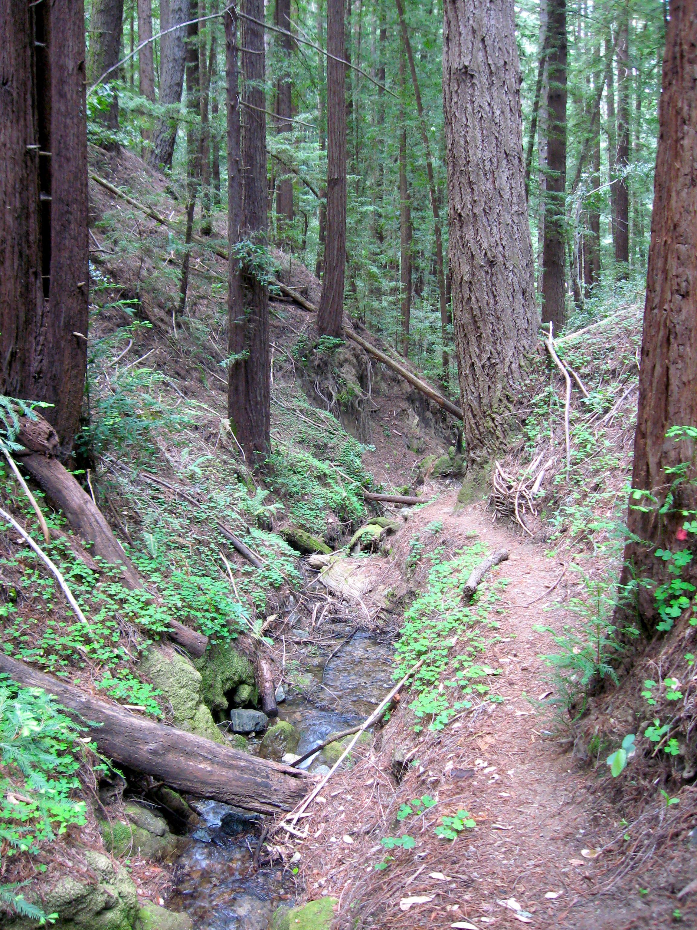 Marshall Creek, at The Quaker Center in Ben Lomond | |
 Location in Santa Cruz County and the state of California | |
 Ben Lomond Location in the United States | |
| Coordinates: 37°4′58″N 122°5′1″W | |
| Country | United States |
| State | California |
| County | Santa Cruz |
| Area | |
| • Total | 8.37 sq mi (21.67 km2) |
| • Land | 8.37 sq mi (21.67 km2) |
| • Water | 0.00 sq mi (0.00 km2) 0% |
| Elevation | 331 ft (101 m) |
| Population (2020) | |
| • Total | 6,337 |
| • Density | 757.20/sq mi (292.37/km2) |
| Time zone | UTC−8 (PST) |
| • Summer (DST) | UTC−7 (PDT) |
| ZIP Code | 95005 |
| Area code | 831 |
| FIPS code | 06-05332 |
| GNIS feature ID | 1655826 |
History
The nearby Ben Lomond Mountain was named after the mountain in Scotland by John Burns, a Scottish man who settled on the west side of the ridge in 1851.[citation needed] Burns became one of the first vintners in the Santa Cruz Mountains, and is usually also credited with naming the community of Bonny Doon. The San Lorenzo River watershed contains extensive forests of Coast redwood, and was an early center of the logging/lumber industry in Santa Cruz County. The community was originally known as Pacific Mills, after a sawmill operation located there. When, in 1887, the community applied for a U.S. Post Office, residents voted to adopt the name of the mountain.[2]
Alba School, a one-room schoolhouse, was constructed in 1895 and was in use until 1940; it later served as a library and a community center.[3][4] It was destroyed in the CZU Lightning Complex fires in August 2020.[5]
Geography
Ben Lomond is located on State Highway 9, about 12 miles (19 km) from Santa Cruz and 34 miles (55 km) from San Jose (the nearest major city) at 37°5′24″N 122°5′24″W (37.09, -122.09).[6] According to the United States Census Bureau, the CDP has a total area of 8.4 square miles (22 km2). The San Lorenzo River runs through it, in what is known locally as the San Lorenzo Valley, which runs SE–NW to the east of Ben Lomond Mountain (in actuality a long ridge whose highest point has an elevation of 2,660 feet [810 m]).
Northeast of Ben Lomond is Loch Lomond, a reservoir built on Newell Creek and named after the original Loch Lomond in Scotland.
Climate
The National Weather Service has kept weather records for Ben Lomond since 1937. The Western Climate Center reports that Ben Lomond has an average annual rainfall of 49.00 inches (1,245 mm) and an average annual snowfall of 0.2 inches (0.51 cm). January is the coldest month, with a normal maximum of 61.5 °F (16.4 °C) and a normal minimum of 36.9 °F (2.7 °C). August is the warmest month, with a normal maximum of 85.5 °F (29.7 °C) and a normal minimum of 50.4 °F (10.2 °C).
The record high temperature was 112 °F (44 °C) on October 8, 1996, and July 22, 2006, and the record low temperature was 15 °F (−9 °C) on December 22, 1990. There are an average of 39.2 days annually with highs of 90 °F (32 °C) or higher and 34.8 days with lows of 32 °F (0 °C) or lower.
The wettest year was 1958, with 65.46 inches (1,663 mm) of precipitation and the driest year was 1961, with 28.99 inches (736 mm). The most precipitation in one month was 35.77 inches (909 mm) in December 1955. The most precipitation in 24 hours was 11.47 inches (291 mm) on January 4, 1982. There are an average of 76 days with measurable precipitation. The heaviest 24-hour snowfall was 2.0 inches (5.1 cm) on January 21, 1962.[7]
Demographics
| Historical population | |||
|---|---|---|---|
| Census | Pop. | %± | |
| 2020 | 6,337 | — | |
| U.S. Decennial Census[8] | |||
2010
At the 2010 census Ben Lomond had a population of 6,234. The population density was 745.7 inhabitants per square mile (287.9/km2). The racial makeup of Ben Lomond was 5,692 (91.3%) White, 32 (0.5%) African American, 51 (0.8%) Native American, 70 (1.1%) Asian, 11 (0.2%) Pacific Islander, 98 (1.6%) from other races, and 280 (4.5%) from two or more races. Hispanic or Latino of any race were 515 people (8.3%).[9]
The census reported that 98.8% of the population lived in households and 1.2% lived in non-institutionalized group quarters.
There were 2,440 households, 730 (29.9%) had children under the age of 18 living in them, 1,326 (54.3%) were opposite-sex married couples living together, 240 (9.8%) had a female householder with no husband present, 91 (3.7%) had a male householder with no wife present. There were 179 (7.3%) unmarried opposite-sex partnerships, and 45 (1.8%) same-sex married couples or partnerships. Of the households, 538 (22.0%) were one person and 115 (4.7%) had someone living alone who was 65 or older. The average household size was 2.52. There were 1,657 families (67.9% of households); the average family size was 2.93.
The age distribution was 1,214 people (19.5%) under the age of 18, 512 people (8.2%) aged 18 to 24, 1,470 people (23.6%) aged 25 to 44, 2,401 people (38.5%) aged 45 to 64, and 637 people (10.2%) who were 65 or older. The median age was 44.1 years. For every 100 females, there were 101.9 males. For every 100 females age 18 and over, there were 101.2 males.
There were 2,620 housing units at an average density of 313.4 per square mile (121.0/km2), of which 74.1% were owner-occupied and 25.9% were occupied by renters. The homeowner vacancy rate was 0.7%; the rental vacancy rate was 3.0%. 76.5% of the population lived in owner-occupied housing units and 22.3% lived in rental housing units.
2000
At the 2000 census there were 2,364 people (6,394 by ZIP Code), 873 households, and 577 families in the CDP. The population density was 2,802.2 inhabitants per square mile (1,081.9/km2). There were 924 housing units at an average density of 1,095.3 per square mile (422.9/km2). The racial makeup of the CDP was 91.16% White, 0.17% African American, 0.68% Native American, 1.65% Asian, 0.13% Pacific Islander, 2.37% from other races, and 3.85% from two or more races. Hispanic or Latino of any race were 6.43%.[10]
Of the 873 households 36.4% had children under the age of 18 living with them, 48.2% were married couples living together, 11.6% had a female householder with no husband present, and 33.8% were non-families. Of households, 21.9% were one person and 3.6% were one person aged 65 or older. The average household size was 2.66 and the average family size was 3.09.
The population was spread out, with 25.9% under the age of 18, 9.0% from 18 to 24, 32.7% from 25 to 44, 27.5% from 45 to 64, and 5.0% 65 or older. The median age was 36 years. For every 100 females, there were 105.7 males. For every 100 females age 18 and over, there were 100.0 males.
The median household income was $57,241 (but $64,813 by ZIP Code), and the median family income was $59,412. Males had a median income of $40,602 versus $28,042 for females. The per capita income for the CDP was $25,691. About 2.7% of families and 7.3% of the population were below the poverty line, including 1.7% of those under age 18 and none of those age 65 or over.
Government
In the California State Legislature, Ben Lomond is in the 17th Senate District, represented by Democrat John Laird, and in the 29th Assembly District, represented by Democrat Mark Stone.[11]
In the United States House of Representatives, Ben Lomond is in California's 18th congressional district, represented by Democrat Anna Eshoo.[12]
Notable people
- Guillermo Wagner Granizo (1923–1995) ceramic tile muralist, lived in Ben Lomond from the 1970s until 1980.[13]
- Jim Jeffries (1875–1953), boxer, trained in the 1940s at the now defunct Wagon Wheel Bar and Restaurant.
References
- "2020 U.S. Gazetteer Files". United States Census Bureau. Retrieved October 30, 2021.
- Clark, Donald T. Santa Cruz County Place Names, Kestrel Press, 2008, ISBN 978-1-880478-02-8, p.22
- Robinson, Lisa. The San Lorenzo Valley, Arcadia Publications, 2012, p. 97.
- Alba Schoolhouse.com, retrieved August 24, 2020.
- York, Jessica A.; Ibarra, Nicholas (August 21, 2020). "63,000 acres burn in Santa Cruz Mountains, containment increases to 5%". Santa Cruz Sentinel.
- "US Gazetteer files: 2010, 2000, and 1990". United States Census Bureau. 2011-02-12. Retrieved 2011-04-23.
- http://www.wrcc.dri.edu/cgi-bin/cliMAIN.pl?ca0674; http://www.wrcc.dri.edu/cgi-bin/cliMAIN.pl?ca0673
- "Census of Population and Housing". Census.gov. Retrieved June 4, 2016.
- "2010 Census Interactive Population Search: CA - Ben Lomond CDP". U.S. Census Bureau. Archived from the original on July 15, 2014. Retrieved July 12, 2014.
- "U.S. Census website". United States Census Bureau. Retrieved 2008-01-31.
- "Statewide Database". UC Regents. Archived from the original on February 1, 2015. Retrieved January 7, 2015.
- "California's 18th Congressional District - Representatives & District Map". Civic Impulse, LLC.
- "Civic Auditorium Mural to be Unveiled in August". Santa Cruz Sentinel. 1981-07-20. p. 15. Retrieved 2020-06-20.
External links
 Media related to Ben Lomond, California at Wikimedia Commons
Monterey Bay Area | ||
|---|---|---|
| Bodies of water & submarine features |  | |
| Counties | ||
| Major cities | ||
| Cities and towns 50k-100k | ||
| Cities and towns 25k-50k | ||
| Cities, towns, and census-designated places <25k |
| |
| Ghost Towns | ||
| ||
Municipalities and communities of Santa Cruz County, California, United States | ||
|---|---|---|
County seat: Santa Cruz | ||
| Cities |  | |
| CDPs | ||
| Unincorporated communities |
| |
| Ghost town | ||
| ||
State of California | |
|---|---|
Sacramento (capital) | |
| Topics |
|
| Regions |
|
| Metro regions |
|
| Counties |
|
| Most populous cities | |
Authority control | |
|---|---|
| General | |
| National libraries | |
| Other |
|
Другой контент может иметь иную лицензию. Перед использованием материалов сайта WikiSort.org внимательно изучите правила лицензирования конкретных элементов наполнения сайта.
WikiSort.org - проект по пересортировке и дополнению контента Википедии