world.wikisort.org - United_Kingdom
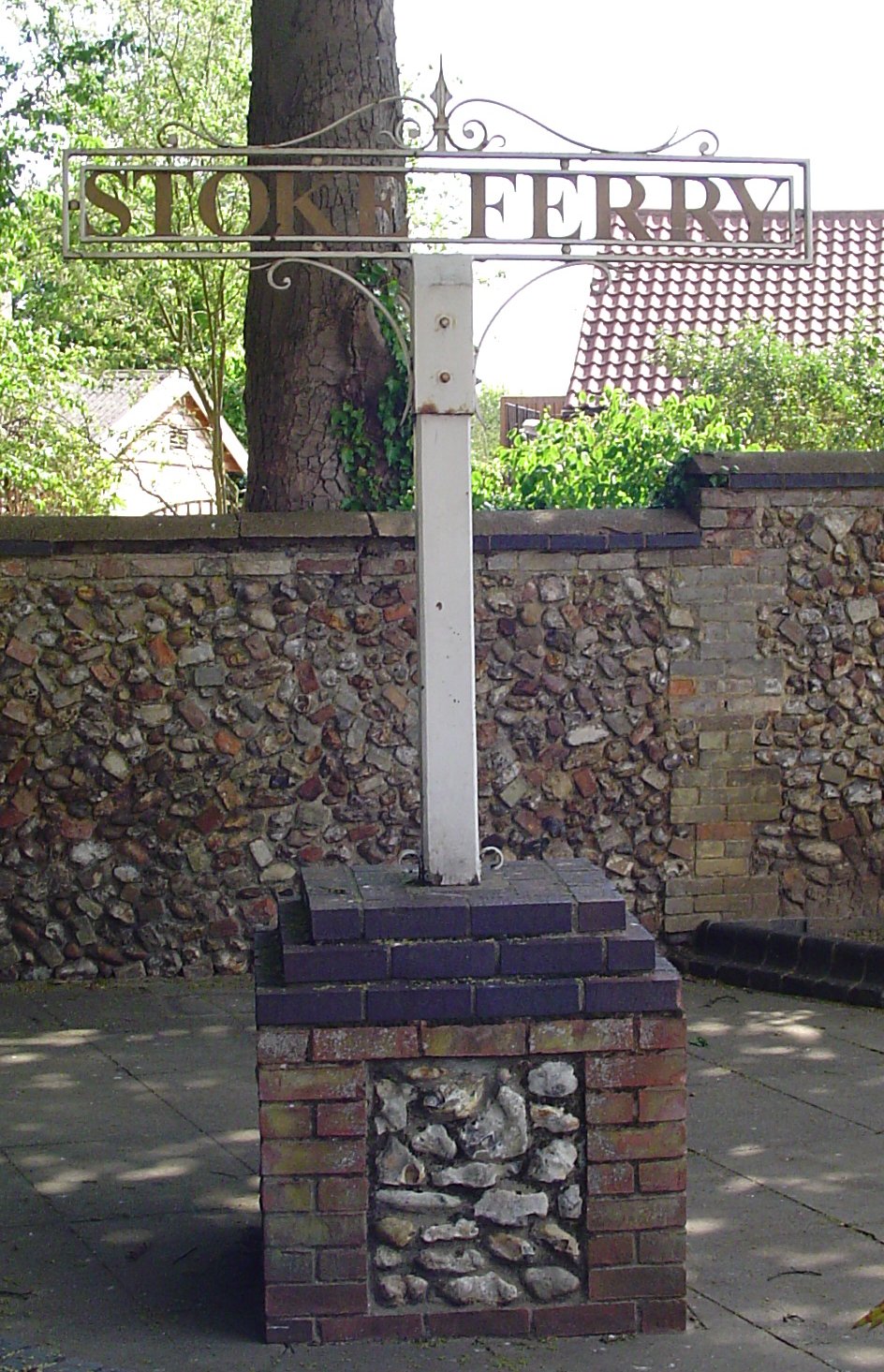
Stoke Ferry is a village and civil parish in the English county of Norfolk, 6.5 miles south-east of Downham Market. The village lies on the River Wissey, previously known as the River Stoke.[1] It covers an area of 9.15 km2 (3.53 sq mi) and had a population of 896 in 358 households as of the 2001 UK Census,[2] the population increasing to 1,020 at the 2011 UK Census.[3] For the purposes of local government, it falls within the district of King's Lynn and West Norfolk.
| Stoke Ferry | |
|---|---|
 Stoke Ferry Location within Norfolk | |
| Area | 9.15 km2 (3.53 sq mi) |
| Population | 1,020 |
| • Density | 111/km2 (290/sq mi) |
| OS grid reference | TL706995 |
| Civil parish |
|
| District |
|
| Shire county |
|
| Region | |
| Country | England |
| Sovereign state | United Kingdom |
| Post town | KING'S LYNN |
| Postcode district | PE33 |
| Police | Norfolk |
| Fire | Norfolk |
| Ambulance | East of England |
All Saints' Church is no longer used for church services. It is now owned by Kit Hesketh-Harvey.
The village has many small businesses such as two takeaway shops, a hairdresser, Wood Yard and a corner shop. There was also previously a pub, which is currently raising money for reopening, as of April 2021.
Historical references
In 1805, Stoke Ferry is described[4] as being "distant from London 88 miles 2 furlongs; on the Stoke river, which is navigable to this place from the Ouse. Fair, December 6...on the right, 5 m is the seat of Robert Wilson, esq. Inn, Crown."
The village was serving as a post town (under the name 'Stoke') by 1775; the name had been changed to 'Stoke Ferry' by 1816. A type of postmark known as an undated circle was issued to the village in 1828, and it had a Penny Post service, under Brandon (in Suffolk), between 1835 and 1840.
Many photographs of the village can be found in a collection published in 2007 available to purchase at £4.95 from Bonnetts Hardware & DIY in the village.[5]
It once had its own Stoke Ferry railway station, the terminus of the Downham and Stoke Ferry Railway, a branch from the main line between Cambridge and King's Lynn.It stopped service in the early 1965. From the early 2000s it was used as a wood yard which moved to the new yard near Boughton it has since been derelict and had several owners.
There is still a thriving Blacksmith's shop, Thomas B. Bonnett in the heart of the village that has been trading over 100 years. As well as Bespoke Ironwork, they also sell hardware, plumbing supplies, timber and steel. As well as a hairdressers, take aways and many other small businesses that help make Stoke Ferry recognisable.
Notes
- "Stoke Ferry | Village | Downham Market|Norfolk". info.visitwestnorfolk.com. Retrieved 22 April 2021.
- Census population and household counts for unparished urban areas and all parishes Archived 2017-02-11 at the Wayback Machine. Office for National Statistics & Norfolk County Council (2001). Retrieved 20 June 2009.
- "Parish population 2011". Retrieved 29 August 2015.
- The Traveller's Guide; or, English Itinerary, by Walley Chamberlain Oulton, published by James Cundee, London, 1805.
- Stoke Ferry Through Postcards Past, by Pat Holton and Janet Stocking, 2007, 52 pages, ISBN 0-9545768-7-X.
Further reading
- Stoke Ferry: the Story of a Norfolk Village, by Doris E. Coates, Harpsden Press, 1980, ISBN 0-9506871-0-3
External links
![]() Media related to Stoke Ferry at Wikimedia Commons
Media related to Stoke Ferry at Wikimedia Commons
Authority control | |
|---|---|
| General |
|
| National libraries | |
This Norfolk location article is a stub. You can help Wikipedia by expanding it. |
Другой контент может иметь иную лицензию. Перед использованием материалов сайта WikiSort.org внимательно изучите правила лицензирования конкретных элементов наполнения сайта.
WikiSort.org - проект по пересортировке и дополнению контента Википедии