world.wikisort.org - United_Kingdom
East Winch is a civil parish in the English county of Norfolk, a few miles south-east of King's Lynn. It covers an area of 19.95 km2 (7.70 sq mi) and had a population of 782 in 325 households at the 2001 census,[1] the population reducing to 779 at the 2011 Census.[2]
| East Winch | |
|---|---|
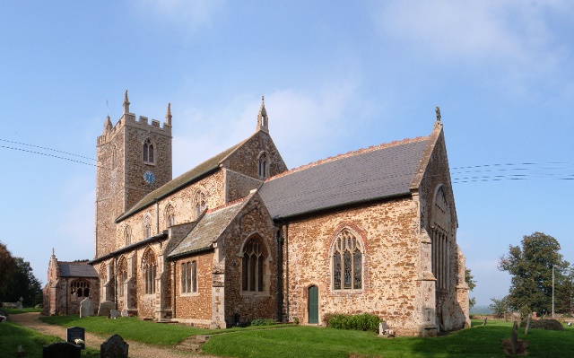 All Saints' Church, East Winch | |
 East Winch Location within Norfolk | |
| Area | 19.95 km2 (7.70 sq mi) |
| Population | 779 (2011) |
| • Density | 39/km2 (100/sq mi) |
| OS grid reference | TF694163 |
| Civil parish |
|
| District |
|
| Shire county |
|
| Region |
|
| Country | England |
| Sovereign state | United Kingdom |
| Post town | KING'S LYNN |
| Postcode district | PE32 |
| Police | Norfolk |
| Fire | Norfolk |
| Ambulance | East of England |
The villages name means 'Pasture (specialised) farm'. 'East' to distinguish from West Winch.
It once had an East Winch railway station, on the line between Swaffham and King's Lynn. It is now located on the A47 road, which follows the former railway route.
East Winch has had an airfield since the 80's, it was originally used as a base for crop spraying
Governance
East Winch is a parish of the Kings Lynn and West Norfolk district council, which is responsible for the most local services. Norfolk County Council is responsible for roads, some schools and social services. For Westminster elections the parish forms part of the North West Norfolk constituency, represented by James Wild (Conservative).
Notes
- Census population and household counts for unparished urban areas and all parishes. Office for National Statistics & Norfolk County Council (2001). Retrieved 20 June 2009.
- "Parish population 2011". Retrieved 27 August 2015.
http://kepn.nottingham.ac.uk/map/place/Norfolk/East%20Winch
External links
![]() Media related to East Winch at Wikimedia Commons
Media related to East Winch at Wikimedia Commons
This Norfolk location article is a stub. You can help Wikipedia by expanding it. |
Другой контент может иметь иную лицензию. Перед использованием материалов сайта WikiSort.org внимательно изучите правила лицензирования конкретных элементов наполнения сайта.
WikiSort.org - проект по пересортировке и дополнению контента Википедии