world.wikisort.org - United_Kingdom
Wretton is a village and civil parish in the English county of Norfolk. It covers an area of 4.7 km2 (1.8 sq mi) and had a population of 392 in 155 households at the 2001 census.[2] For the purposes of local government, it falls within the district of King's Lynn and West Norfolk.
| Wretton | |
|---|---|
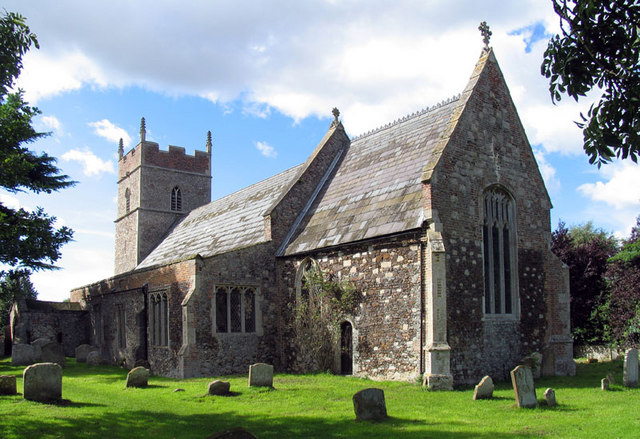 All Saints, Wretton | |
 Wretton Location within Norfolk | |
| Area | 4.70 km2 (1.81 sq mi) |
| Population | 369 (2011)[1] |
| • Density | 79/km2 (200/sq mi) |
| OS grid reference | TF689001 |
| Civil parish |
|
| District |
|
| Shire county |
|
| Region |
|
| Country | England |
| Sovereign state | United Kingdom |
| Post town | King's Lynn |
| Postcode district | PE33 |
| Police | Norfolk |
| Fire | Norfolk |
| Ambulance | East of England |
The villages name means 'Crosswort/hellebore farm/settlement'.[3]
It is situated some 4 miles (6.4 km) East of Downham Market, 16 miles (26 km) South of King's Lynn and 40 miles (64 km) West of Norwich.[4] Also 1.5 miles (2.4 km) North of the larger village of Stoke Ferry.
Notes
- "Parish population 2011". Retrieved 30 August 2015.
- Census population and household counts for unparished urban areas and all parishes Archived 2017-02-11 at the Wayback Machine. Office for National Statistics & Norfolk County Council (2001). Retrieved 20 June 2009.
- "Key to English Place-names".
- Ordnance Survey (1999). OS Explorer Map 228 - March & Ely. ISBN 0-319-21860-0.
External links
Wikimedia Commons has media related to Wretton.
- Information from Genuki Norfolk on Wretton.
- Wretton Parish Council
- The Wretton category of the neighbouring Stoke Ferry Website includes Parish Council meeting minutes.
This Norfolk location article is a stub. You can help Wikipedia by expanding it. |
Текст в блоке "Читать" взят с сайта "Википедия" и доступен по лицензии Creative Commons Attribution-ShareAlike; в отдельных случаях могут действовать дополнительные условия.
Другой контент может иметь иную лицензию. Перед использованием материалов сайта WikiSort.org внимательно изучите правила лицензирования конкретных элементов наполнения сайта.
Другой контент может иметь иную лицензию. Перед использованием материалов сайта WikiSort.org внимательно изучите правила лицензирования конкретных элементов наполнения сайта.
2019-2026
WikiSort.org - проект по пересортировке и дополнению контента Википедии
WikiSort.org - проект по пересортировке и дополнению контента Википедии