world.wikisort.org - United_Kingdom
Hurleston is a civil parish in the unitary authority of Cheshire East and the ceremonial county of Cheshire, England, which lies to the north west of Nantwich. The parish is predominantly rural with scattered farms and buildings and no settlements. Nearby villages include Barbridge, Burland, Radmore Green, Rease Heath and Stoke Bank.
| Hurleston | |
|---|---|
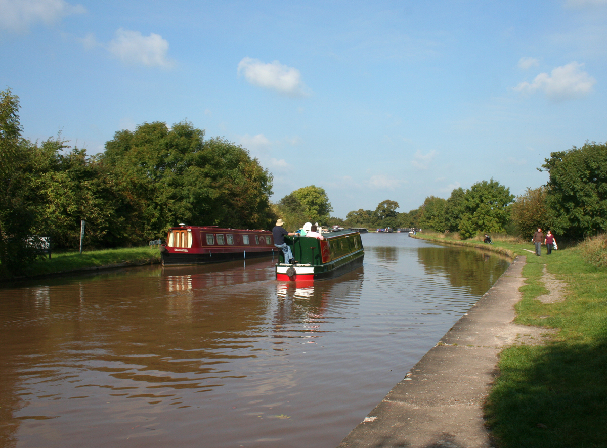 The Shropshire Union Canal main line at Hurleston | |
 Hurleston Location within Cheshire | |
| Population | 64 (2001) |
| OS grid reference | SJ620550 |
| Civil parish |
|
| Unitary authority |
|
| Ceremonial county |
|
| Region |
|
| Country | England |
| Sovereign state | United Kingdom |
| Post town | NANTWICH |
| Postcode district | CW5 |
| Dialling code | 01270 |
| Police | Cheshire |
| Fire | Cheshire |
| Ambulance | North West |
| UK Parliament |
|
According to the 2001 census, the parish had a population of 64.[1] At the 2011 Census the population remained less than 100. Details are included in the civil parish of Stoke, Cheshire East.
Governance
Hurleston is administered by Stoke and Hurleston Parish Council jointly with the adjacent civil parish of Stoke.[2] From 1974 the civil parish was served by Crewe and Nantwich Borough Council, which was succeeded on 1 April 2009 by the unitary authority of Cheshire East.[3] Hurleston falls in the parliamentary constituency of Eddisbury,[4] which has been represented by Edward Timpson since 2019,[5] after being represented by Stephen O'Brien (1999–2015) and Antoinette Sandbach (2015–19).

Geography and transport
The civil parish includes several small deciduous and mixed woodlands including Bachehouse Covert, and also the mere of Bachehouse Pool and most of Hurleston Reservoir.[6]
The Shropshire Union Canal splits into two branches at Hurleston Junction and both branches run through the parish. The main line runs north–south, while the Llangollen branch at first runs westwards, descending 34 feet via the four Hurleston Locks, and then turns southwards.[6] The A51 runs north–south through the parish, crossing the Llangollen branch of the canal at Hurleston Bridge. The A534 forms part of the southern boundary of the civil parish.[6]
See also
- Listed buildings in Hurleston
- Snugburys, an ice cream manufacturer in Hurleston
References
- Combining Cheshire County Council: Local Statistics: Hurleston - Stoke Archived 2007-09-27 at the Wayback Machine & Neighbourhood Statistics: Stoke CP (accessed 17 August 2007)
- Cheshire County Council: Parish Council Details: Stoke and Hurleston Parish Council Archived 2007-09-27 at the Wayback Machine (accessed 17 August 2007)
- Cheshire (Structural Changes) Order 2008
- Cheshire County Council: Interactive Mapping: Eddisbury Archived 19 July 2011 at the Wayback Machine (accessed 27 January 2009)
- Eddisbury Parliamentary constituency, BBC, retrieved 19 December 2019
- Cheshire County Council: Interactive Mapping: Hurleston (accessed 27 January 2009)
External links
| Unitary authorities |
|
|---|---|
| Major settlements |
|
| Rivers | |
| Topics |
|
Другой контент может иметь иную лицензию. Перед использованием материалов сайта WikiSort.org внимательно изучите правила лицензирования конкретных элементов наполнения сайта.
WikiSort.org - проект по пересортировке и дополнению контента Википедии