world.wikisort.org - United_Kingdom
Lea is a civil parish in the unitary authority of Cheshire East and the ceremonial county of Cheshire, England, which lies to the north east of Audlem and to the south of Crewe. The parish is predominantly rural, but it includes the hamlet of Lea Forge (at SJ707486).[1] Nearby villages include Betley, Blakenhall, Hough, Walgherton and Wybunbury.
| Lea | |
|---|---|
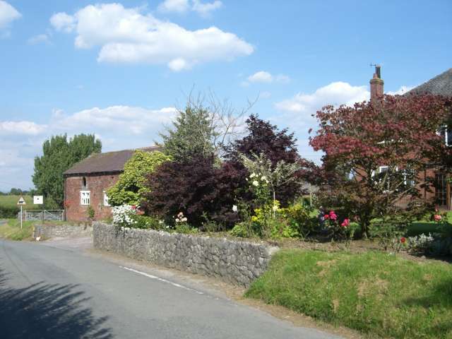 Lea Farm | |
 Lea Location within Cheshire | |
| Population | 25 (2001) |
| OS grid reference | SJ714487 |
| Civil parish |
|
| Unitary authority |
|
| Ceremonial county |
|
| Region |
|
| Country | England |
| Sovereign state | United Kingdom |
| Post town | NANTWICH |
| Postcode district | CW5 |
| Dialling code | 01270 |
| Police | Cheshire |
| Fire | Cheshire |
| Ambulance | North West |
| UK Parliament |
|
According to the 2001 census, it had a population of 25.[2] At the time of the 2011 Census the population remained less than 100. Details are included in the civil parish of Blakenhall, Cheshire.
Governance
Lea is administered by Doddington and District Parish Council, which also includes the parishes of Blakenhall, Bridgemere, Checkley cum Wrinehill, Doddington and Hunsterson.[3] From 1974 the civil parish was served by Crewe and Nantwich Borough Council, which was succeeded on 1 April 2009 by the new unitary authority of Cheshire East .[4] Lea falls in the parliamentary constituency of Crewe and Nantwich,[5] which has been represented by Kieran Mullan since 2019,[6] after being represented by Laura Smith (2017–19), Edward Timpson (2008–17) and Gwyneth Dunwoody (1983–2008).
Geography and transport
The parish includes several areas of mixed woodland, including Lea Park. The South Cheshire Way long-distance footpath runs through the parish. The A51 runs immediately to its west.
Landmarks

There is one listed building in the parish. This is a timber-framed house dating from the 16th century named Lea Hall, which was extended in the 19th and 20th centuries. It is designated by English Heritage at Grade II*.[7] This grade is the middle of the three grades of listing designated by English Heritage, and is granted to "particularly important buildings of more than special interest".[8]
References
- Genuki: Lea (near Crewe) (accessed 18 August 2007)
- Office for National Statistics : Census 2001 : Parish Headcounts : Crewe and Nantwich Retrieved 2009-11-30
- Doddington and District Parish Council Official Web Site Archived 2007-09-29 at the Wayback Machine (accessed 18 August 2007)
- Cheshire (Structural Changes) Order 2008 Archived 2009-05-17 at the Wayback Machine
- Cheshire County Council: Interactive Mapping: Crewe and Nantwich Archived 1 October 2011 at the Wayback Machine (accessed 27 January 2009)
- Crewe & Nantwich Parliamentary constituency, BBC, retrieved 13 January 2020
- Historic England, "Lea Hall (1138514)", National Heritage List for England, retrieved 4 February 2014
- Listed Buildings, English Heritage, archived from the original on 22 December 2012, retrieved 4 February 2014
External links
![]() Media related to Lea, Cheshire at Wikimedia Commons
Media related to Lea, Cheshire at Wikimedia Commons
| Unitary authorities |
|
|---|---|
| Major settlements |
|
| Rivers | |
| Topics |
|
Другой контент может иметь иную лицензию. Перед использованием материалов сайта WikiSort.org внимательно изучите правила лицензирования конкретных элементов наполнения сайта.
WikiSort.org - проект по пересортировке и дополнению контента Википедии