world.wikisort.org - United_Kingdom
Chorlton is a village (at SJ728504) and civil parish in the unitary authority of Cheshire East and the ceremonial county of Cheshire, England. The village lies 4 miles (6.4 km) to the south east of Crewe. Nearby villages include Hough, Shavington, Weston and Wybunbury in Cheshire and Betley in Staffordshire.[1] The population was nearly 900 people in 2011.
| Chorlton | |
|---|---|
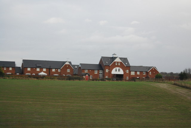 New houses, Wychwood Park, Chorlton | |
 Chorlton Location within Cheshire | |
| Population | 897 (2011) |
| OS grid reference | SJ728504 |
| Civil parish |
|
| Unitary authority |
|
| Ceremonial county |
|
| Region |
|
| Country | England |
| Sovereign state | United Kingdom |
| Post town | CREWE |
| Postcode district | CW2 |
| Dialling code | 01270 |
| Police | Cheshire |
| Fire | Cheshire |
| Ambulance | North West |
| UK Parliament |
|
History
The area was agricultural, with a roughly equal mix of dairy and arable land in the 19th century.[2] Chorlton Methodist Chapel, a red-brick former Wesleyan Methodist church on Chorlton Lane, closed in 2018.[3][4]
Governance
Chorlton is administered by Hough & Chorlton Parish Council jointly with the adjacent parish of Hough.[5] From 1974, the civil parish was served by Crewe and Nantwich Borough Council, which was succeeded on 1 April 2009 by the new unitary authority of Cheshire East.[6] Chorlton falls in the parliamentary constituency of Crewe and Nantwich,[7] which has been represented by Kieran Mullan since 2019, after being represented by Laura Smith (2017–19), Edward Timpson (2008–17) and Gwyneth Dunwoody (1983–2008).[8][9]
Geography and transport
The civil parish has an area of 377.13 hectares (931.9 acres).[10] The area is undulating, sloping gently upwards to the south and east, with an average elevation of around 65 metres (213 ft) and a high point above 80 metres (260 ft) in the south east, around West Heath. Outside Chorlton village, the land use is predominantly agricultural, with several farms including Chorlton Bank Farm, Heath Farm, Jubilee Farm and West Heath Farm. Several minor watercourses run through the parish, including Mere Gutter and Swill Brook, and numerous small meres and ponds are scattered across the area. There are a few small areas of woodland.[1][11]
The Crewe-to-Stafford railway line runs north west to south east through the civil parish; there are no stations within Chorlton. Chorlton Lane/Waybutt Lane runs broadly north–south from a T-junction at the northern boundary to Chorlton village; south of the village, the lane turns to run eastwards, and connects to the A531 just beyond the parish boundary in Staffordshire. Another lane runs westwards from the T-junction through the north of the parish to the village of Hough.[1][11] The Crewe and Nantwich Circular Walk and South Cheshire Way long-distance footpaths cut through the north of the parish; the route of both follows part of Chorlton Lane and then crosses the railway at a footbridge near Heath Farm.[11]
Demography
According to the 2001 census, the parish had a population of 113,[3] increasing to 897 in 338 households at the 2011 census.[10] The historical population figures are 106 (1801), 114 (1851), 79 (1901) and 78 (1951).[3]
Landmarks
The parish contains one structure designated by English Heritage as a listed building. This is Basford Bridge Cottage, a timber-framed and brick building dating from the 17th century.[12] The cottage is listed at Grade II, the lowest of the three grades of listing, which is applied to "buildings of national importance and special interest".[13]
Education
There are no educational facilities in Chorlton. The civil parish falls within the catchment area of Shavington Academy; most falls within the catchment area of Weston Village Primary School, but the western part is in that of Shavington Primary School.[1]
References
- Search at Cheshire East Council Public Map Viewer (accessed 1 March 2020)
- Scard, pp. 62, 78
- Chorlton (near Crewe), UK & Ireland Genealogy, 9 February 2020, retrieved 1 March 2020
- Methodists in Chorlton, Rope Green Mission Area, retrieved 1 March 2020
- Parish Councils D – M, Cheshire East Council, retrieved 3 March 2020
- The Cheshire (Structural Changes) Order 2008, The National Archives, 4 March 2008, retrieved 3 March 2020
- Search at Cheshire East Council Public Map Viewer (accessed 4 March 2020)
- Crewe & Nantwich Parliamentary constituency, BBC, retrieved 13 January 2020
- Nicholas Watt, Steven Morris, Andrew Sparrow (23 May 2008), "Brown facing meltdown as Labour crash in Crewe", The Guardian, retrieved 1 March 2020
{{citation}}: CS1 maint: uses authors parameter (link) - UK Census (2011), "Local Area Report – Chorlton Parish (E04010928)", Nomis, Office for National Statistics, retrieved 1 March 2020
- Crewe & Nantwich: Whitchurch & Tattenhall (OS Explorer series 257), Ordnance Survey, 2015, ISBN 9780319244531
- Historic England, "Basford Bridge Cottage, Chorlton (1330164)", National Heritage List for England, retrieved 15 December 2013
- Listed Buildings, English Heritage, archived from the original on 22 December 2012, retrieved 28 February 2013
- Source
- Geoffrey Scard. Squire and Tenant: Rural Life in Cheshire 1760–1900. A History of Cheshire Vol. 10 (J. J. Bagley, ed.) (Cheshire Community Council; 1981) (ISBN 0 903119 12 9)
External links
| Wikimedia Commons has media related to Chorlton, Cheshire East. |
| Unitary authorities |
|
|---|---|
| Major settlements |
|
| Rivers | |
| Topics |
|
Другой контент может иметь иную лицензию. Перед использованием материалов сайта WikiSort.org внимательно изучите правила лицензирования конкретных элементов наполнения сайта.
WikiSort.org - проект по пересортировке и дополнению контента Википедии