world.wikisort.org - Turkey
Aksaray Province (Turkish: Aksaray ili) is a province in central Turkey. Its adjacent provinces are Konya along the west and south, Niğde to the southeast, Nevşehir to the east, and Kırşehir to the north. It covers an area of 7,626 square kilometres (2,944 sq mi). The provincial capital is the city of Aksaray. Aksaray is one of the four provinces in the area of Cappadocia, along with Nevşehir, Niğde and Kayseri. Also the 3,000-metre (9,843 ft) volcano Mount Hasan stands between Aksaray and Niğde. Summers are hot and dry on the plain, but the area is green and covered in flowers in springtime, when water streams off the mountainside. The 2,400 m2 salt lake (0.59 acres), Tuz Gölü, lies within the boundaries of Aksaray, a large area of swamp with a maximum depth of 1 metre (3 ft 3 in).
Aksaray Province
Aksaray ili | |
|---|---|
Province of Turkey | |
 Aksaray | |
 Location of Aksaray Province in Turkey | |
| Country | Turkey |
| Region | Central Anatolia |
| Subregion | Kırıkkale |
| Largest City | Aksaray |
| Government | |
| • Electoral district | Aksaray |
| • Governor | Hamza Aydoğdu |
| Area | |
| • Total | 7,626 km2 (2,944 sq mi) |
| Population (2018) | |
| • Total | 423,011 |
| • Density | 55/km2 (140/sq mi) |
| Area code | 0382 |
| Vehicle registration | 68 |
Districts
Aksaray province is divided into 7 districts (capital district in bold):
Etymology
In antiquity the area was named Archelais Garsaura, which was mutated to Taksara during the Seljuk Turkish era, and then to Aksaray. Aksaray means "White Palace" in Turkish.
Population
| Year | Pop. | ±% p.a. |
|---|---|---|
| 1927 | 127,031 | — |
| 1990 | 326,399 | +1.51% |
| 2000 | 396,084 | +1.95% |
| 2010 | 377,505 | −0.48% |
| 2020 | 423,011 | +1.14% |
| Source:Turkstat[1][2] | ||
History
The plains of central Anatolia have been settled for 8,000 years, and the area around Aksaray bears monuments to a string of civilisations that have settled on the plain in that time. The mound of Aşıklı Höyük in the town of Kızılkaya indicates a settlement dating back to 5,000BC (and also a skull of a woman who had apparently been trepanned, the earliest known record of brain surgery).
Later the Silk Road came through here so caravanserai and then larger and larger settlements were built to supply and shelter travellers and traders. The city and surroundings of Aksaray thrived in the Roman, Byzantine and the Turkish periods.
Today Aksaray is a rural, agricultural province, its people religious and conservative.[citation needed] Since the 1950s many have moved to Europe as migrant workers. The population of Aksaray has long included a higher proportion of Kurdish people than most central Anatolian provinces. Many of them were resettled here from Tunceli and other eastern cities following the Sheikh Said rebellion in the 1920s.[3]
Places of interest
- Aşıklı Höyük - a Neolithic settlement 25 km east of the city of Aksaray.
- Acemhöyük - an early Bronze Age settlement, 18 km north-west of the city of Aksaray.
- The ancient city of Nora, in the village of Helvadere near the city of Aksaray.
- Ihlara valley - a canyon, 40 km from the city of Aksaray, in the district of Güzelyurt
- Taşpınar - known for rugs, 27 kilometres (17 mi) south of Aksaray
- Çanlı Kilise - ruins of a medieval church and settlement, located 15 kilometres (9.3 mi) southeast of Aksaray.
See also
- List of populated places in Aksaray Province
- Aksaray (in Turkish)
- Yazidis
Gallery
 Kısıl Kilise, meaning “Red Church” in Güzelyurt.
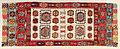 Aksaray Kilim, 18th century. The kilim was probably made by a group of settled Hotamis Turkmen in the Aksaray region. It may have been used for a funeral, and was later donated to the local mosque.
 Aksaray Museum.
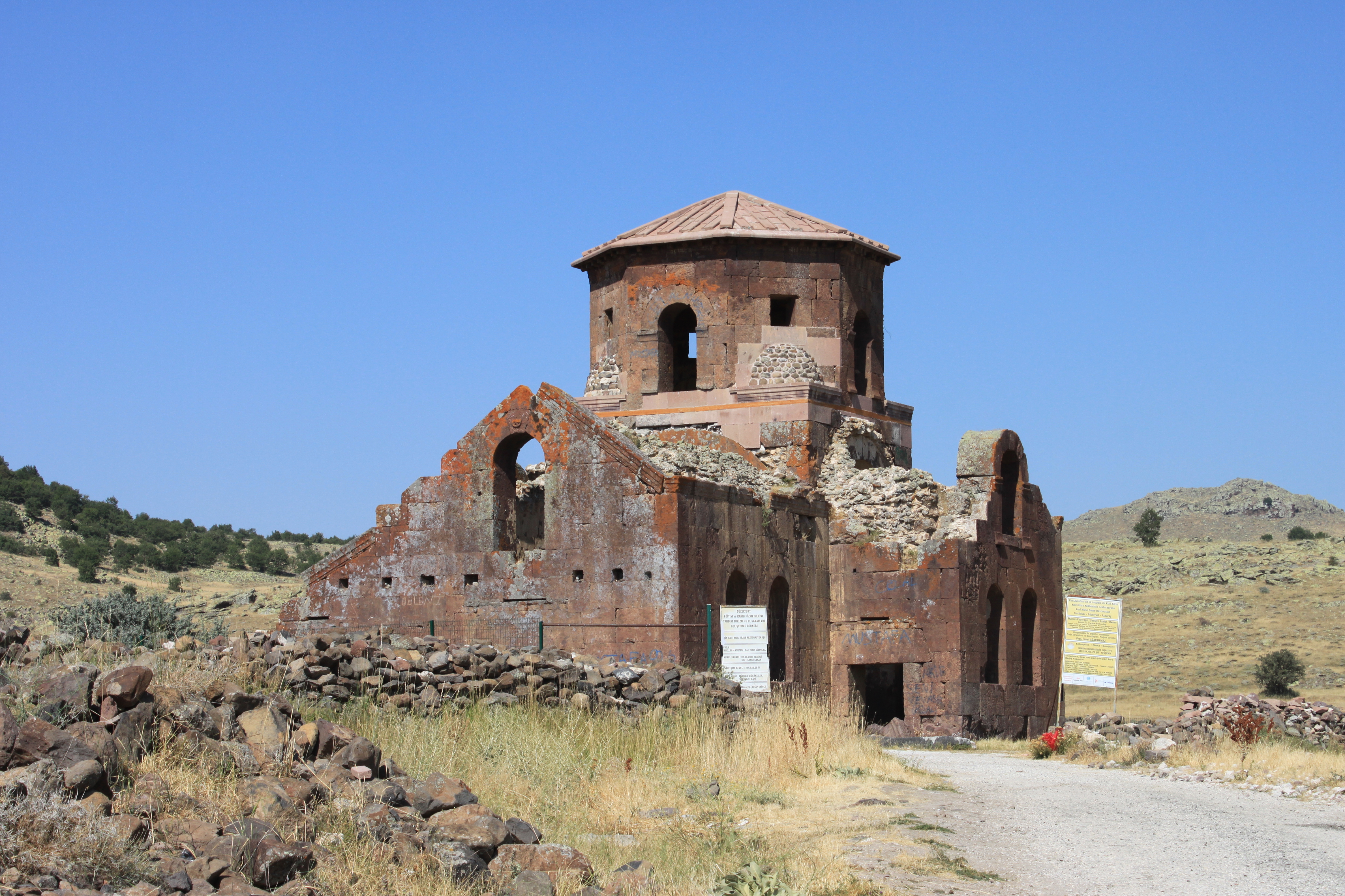
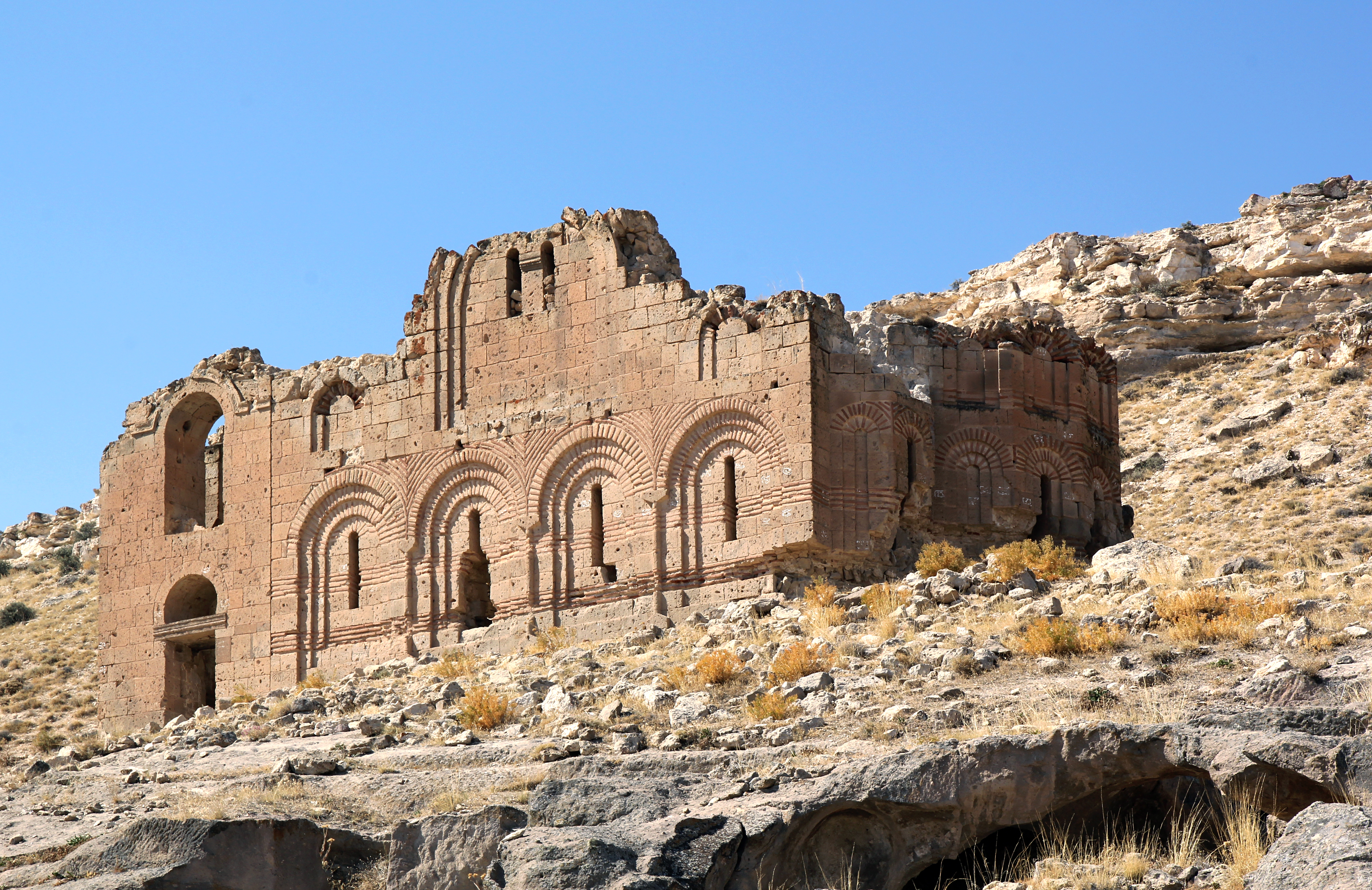
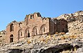 Çanlı Kilise, meaning 'Bell Church' southwest of Aksaray city.
 A view of Ihlara valley, Aksaray
 View of Ihlara town
 Panoramic view towards Aksaray / Güzelyurt Monastery Valley and Church Mosque.
 Monumental entrance of the Sultan Han
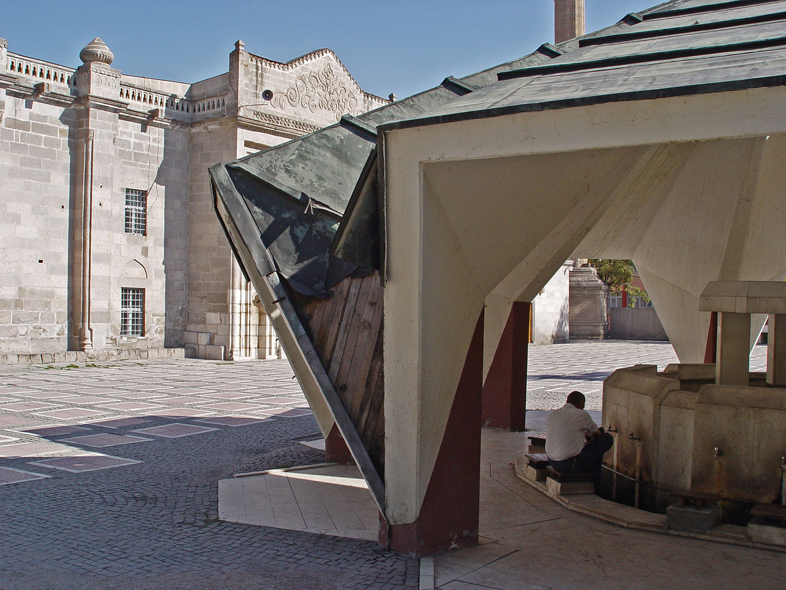
 Ulu Mosque in Aksaray


References
- "Census Results". Turkstat. Archived from the original on 2016-08-02. Retrieved 22 January 2021.
- "Online library of Turkstat". Turkstat. Archived from the original on 2014-06-02. Retrieved 22 January 2021.
- "TÜRK OTAĞI || Türkçüler ve Türkçülük". Archived from the original on 2007-05-03. Retrieved 2006-12-13.
- Site di Aksaray (in Turkish)
External links
- Aksaray governor's official website
- (in Turkish) Aksaray municipality's official website
- High resolution pictures of the city
- Aksaray weather forecast information
- (in Turkish) Aksaray University student websites
Aksaray Province of Turkey | |||||||||||||||||||||||||||
|---|---|---|---|---|---|---|---|---|---|---|---|---|---|---|---|---|---|---|---|---|---|---|---|---|---|---|---|
| Districts |
|   | |||||||||||||||||||||||||
||
Metropolitan municipalities are bolded. | |||||||||||||||||||||||||||
Authority control | |
|---|---|
| General |
|
| National libraries | |
| Other |
|
На других языках
[de] Aksaray (Provinz)
Aksaray (türkisch für weißer Palast) ist eine türkische Provinz in Zentralanatolien. Hauptstadt ist das gleichnamige Aksaray. Die Provinz wird begrenzt von den Provinzen Konya im Westen und Süden, Niğde im Südosten, Nevşehir im Osten und Kırşehir im Norden. Die Provinz liegt im trockenen Hochland Kappadokiens und berührt im Nordwesten den zweitgrößten See der Türkei, den Tuz Gölü (Salzsee).- [en] Aksaray Province
[ru] Аксарай (ил)
Аксарай (тур. Aksaray) — ил в составе Турции.Другой контент может иметь иную лицензию. Перед использованием материалов сайта WikiSort.org внимательно изучите правила лицензирования конкретных элементов наполнения сайта.
WikiSort.org - проект по пересортировке и дополнению контента Википедии