world.wikisort.org - Netherlands
Rijpwetering is a village in the Dutch province of South Holland. It is a part of the municipality of Kaag en Braassem, and lies about 8 kilometres (5.0 mi) east of Leiden.
Rijpwetering | |
|---|---|
Village | |
 The centre of Rijpwetering | |
 Rijpwetering Location in the province of South Holland in the Netherlands  Rijpwetering Location in the Netherlands | |
| Coordinates: 52°12′N 4°35′E | |
| Country | Netherlands |
| Province | South Holland |
| Municipality | Kaag en Braassem |
| Area | |
| • Total | 2.11 km2 (0.81 sq mi) |
| Elevation | −0.4 m (−1.3 ft) |
| Population (2021)[1] | |
| • Total | 1,640 |
| • Density | 780/km2 (2,000/sq mi) |
| Time zone | UTC+1 (CET) |
| • Summer (DST) | UTC+2 (CEST) |
| Postal code | 2375[1] |
| Dialing code | 071 |
History
The village was first mentioned in 1615 as "Rijp weteryng", and means "bank of a waterway".[3] Rijpwetering developed in the Middle Ages as a peat excavation settlement.[4]
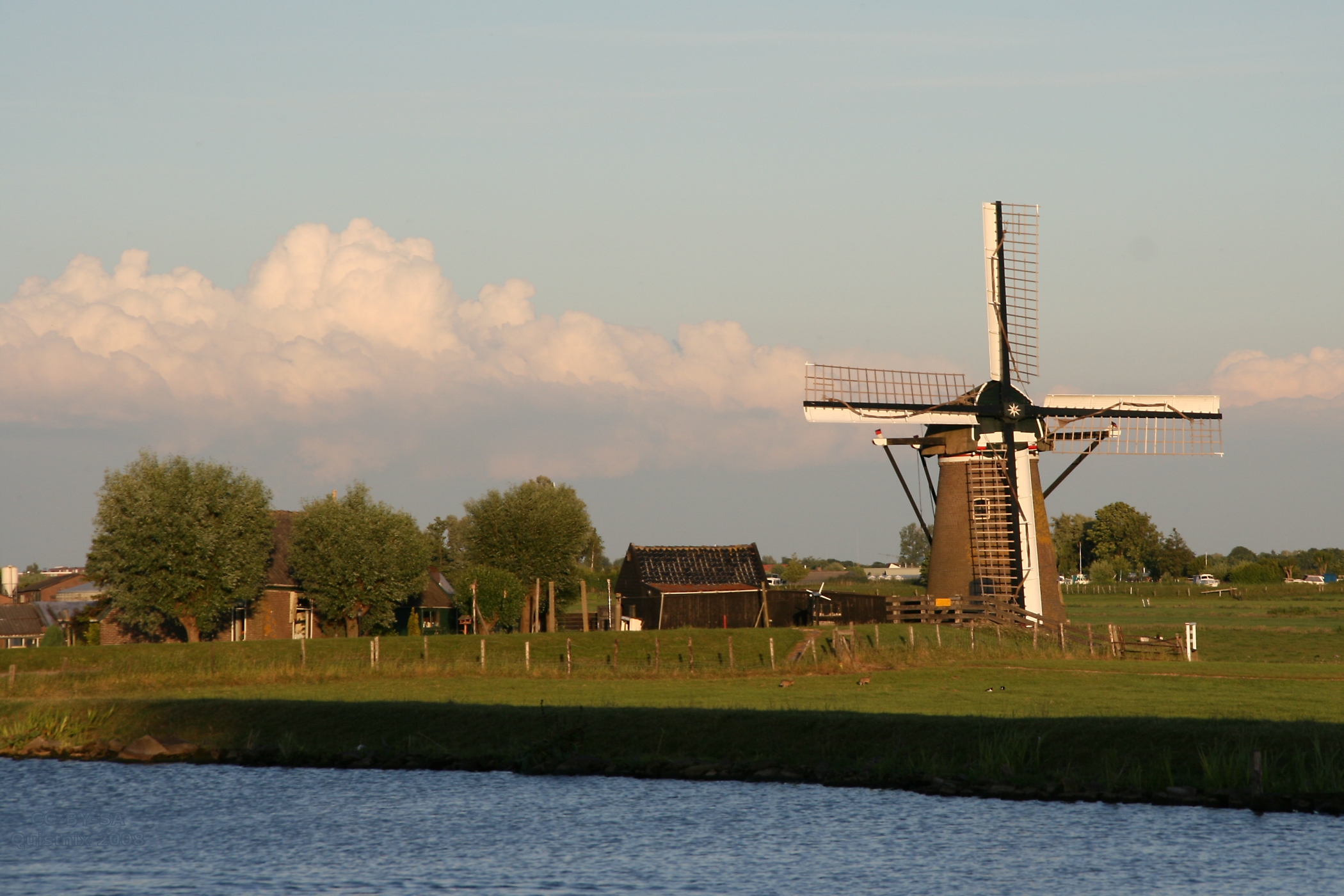
The Catholic O.L. Vrouwe Geboorte Church is a three aisled basilica-like church with build-in tower which was constructed between 1858 and 1860 in Gothic Revival style. It was restored between 1997 and 2000. The inn De Vergulden Vos dates from 1618 and has served as inn, weigh house and court house.[4] The polder mills Lijkermolen No.1 and No.2 were built in 1780 are the only twelve sided windmills of the Netherlands. Both wind mills are frequently in service.[5]
Rijpwetering was home to 742 people in 1840.[5]
Notable people
- Joop Zoetemelk, Dutch cyclist and winner of the Tour de France 1980, was born in The Hague but grew up in Rijpwetering.[5]
Gallery
 Boats in Rijpwetering
 The Adermolen ('Ader mill')
 The Moppemolen ('Moppe mill')
 Houses on the 'Pastoor van der Plaatstraat'
 Windmill: Lijkermolen no1
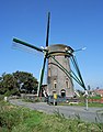 The 12-sided Lijkermolen no2 ('Lijker mill')
 Centre with church


References
- "Kerncijfers wijken en buurten 2021". Central Bureau of Statistics. Retrieved 4 May 2022.
- "Postcodetool for 2375AA". Actueel Hoogtebestand Nederland (in Dutch). Het Waterschapshuis. Retrieved 4 May 2022.
- "Rijpwetering - (geografische naam)". Etymologiebank (in Dutch). Retrieved 4 May 2022.
- Ronald Stenvert & Sabine Broekhoven (2004). "Rijpwetering" (in Dutch). Zwolle: Waanders. ISBN 90 400 9034 3. Retrieved 4 May 2022.
- "Rijpwetering". Plaatsengids (in Dutch). Retrieved 4 May 2022.
Authority control | |
|---|---|
| General |
|
| National libraries | |
This South Holland location article is a stub. You can help Wikipedia by expanding it. |
Другой контент может иметь иную лицензию. Перед использованием материалов сайта WikiSort.org внимательно изучите правила лицензирования конкретных элементов наполнения сайта.
WikiSort.org - проект по пересортировке и дополнению контента Википедии