world.wikisort.org - India
Panchmahal, also known as Panch Mahals, is a district in the eastern portion of Gujarat State western India. Panch-mahal means "five tehsils/talukas" (5 sub-divisions), and refers to the five sub-divisions that were transferred by the Maharaja Jivajirao Scindia of Gwalior State to the British: Godhra, Dahod, Halol, Kalol and Jhalod, Devgadh Baria. The district had a population of 2,390,776 of which 12.51% were urban as of 2001.
Panchmahal District | |
|---|---|
District of Gujarat | |
 Sat Kaman, Pavagadh | |
 Location of district in Gujarat | |
| Coordinates: 22°45′N 73°36′E | |
| Country | |
| State | Gujarat |
| Headquarters | Godhra |
| Population (2011)[1] | |
| • Total | 1,642,268 |
| Languages | |
| • Official | Gujarati, Hindi |
| Time zone | UTC+5:30 (IST) |
| Vehicle registration | GJ 17 |
| Website | panchmahals |
The district is located on eastern end of the state. It is bordered by Dahod district to the north-east & east, Vadodara district to the southwest and Chhota Udaipur district to southeast, Kheda district to the west and Mahisagar district to the north.[2]
Name
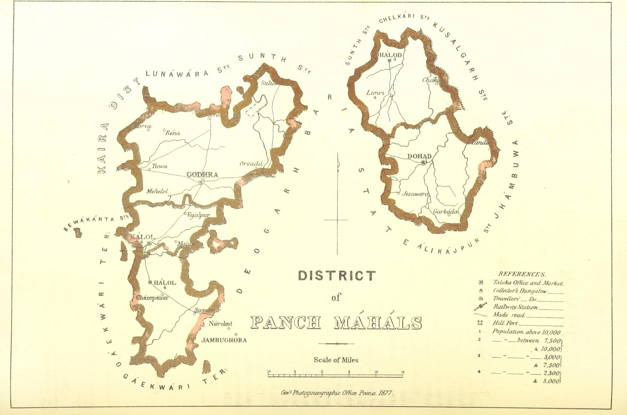
Panch-mahal is a Hindi or Gujarati word derived from Panch ("five") and Mahal which adopted from its original usage in Arabic for a place or type of building, later adopted in Hindi to refer to a province, district or its division, an estate etc.[3] The district was originally called the Pavagadh Panch Mahals, because it consisted of five mahals administered from Pavagadh: Godhra, Kalol, Halol, Dahod, and Jhalod.[4]
History
The history of Panchmahals district revolves around the city of Champaner and the nearby Pavagadh Hill. Champaner was established in the 7th century (647) in the territory of King Vanraj Chavda of Chavda dynasty. In the 13th century, Chauhans acquired the city from Muslim rulers under Alauddin Khalji. Their rule continued until 1484, when Sultan Mahmud Begada of Gujarat captured the city. Thereafter Godhra became center of the district under the Mughal Empire (1575 to 1727). The author of the Mirat-i Sikandari, writing in 1611, spoke high praise of the mangoes of the region, calling them the best in the kingdom, and said that sandalwood grew abundantly here and was used to build houses. Throughout the 1600s, the forests around Dahod and Champaner were used as hunting grounds for wild elephants.[4]
In October 1997, Panchmahal was divided into two districts: Panchmahal, with district headquarters at Godhra, and Dahod, a new district with headquarters at the town of the same name.[4]
Economy
In 2006 the Ministry of Panchayati Raj named Panchmahal one of the country's 250 most backward districts (out of a total of 640).[5] It is one of the six districts in Gujarat currently receiving funds from the Backward Regions Grant Fund Programme (BRGF).[5]
The Panchmahal district is rich in forestry resources. In 2011, 23.26% of the total land area of the Panchmahal district was covered by forest. 97.80% of the forested area in Panchmahal was classified as reserved forest. Common trees in the forests of Panchmahal include mahuda, teak, and khakhra. Since 1989, the Forest Department has planted new trees throughout the district in order to increase the total forest area and counter deforestation.[4]
Panchmahal district is the largest producer of quartz, trap, and quartzite in Gujarat, for use as road material. Manganese ore is also commercially mined in Panchmahal; quartz and manganese are the two largest mineral resources in the district, with total production of the two combined exceeding 400,000 tonnes in 2011. Panchmahal also has the most extensive graphite deposits in the state of Gujarat, and there are granite quarries in several parts of the district.[4]
Agriculture is the main source of employment for the people of Panchmahal: 75.88% of the district's total working population was employed in agriculture in 2011, compared with 49.61% for the state as a whole. The main crops are rice, maize, tur, gram, castor, cotton, and wheat. Of these, the most widely cultivated are rice, maize, wheat, castor, and tur, in that order, owing to their relative profitability and ease of cultivation. In the hillier eastern parts of the district, gram is grown as a second crop, after rice and maize are harvested; its widespread cultivation is particularly characteristic of Panchmahal.[4]
The main livestock animals in Panchmahal are buffaloes, particularly of the Mehsani and Surati breeds, cattle, and goats. Many animals are kept for dairy products, and dairy farms have traditionally been an important source of employment for many rural families. Additionally, around 3,000 people were employed in fishing in the Panchmahal district in 2011, almost entirely in ponds and artificial tanks due to the lack of major year-round rivers in the area.[4]
Industry is concentrated in Godhra, Kalol, and Halol. The largest manufacturing categories in the district in 2011 included Rubber and Plastic Products, Basic Metal Industries, Machinery and Parts Except Electrical, and Mining and Quarrying.[4]
Demographics
According to the 2011 census, Panchmahal district has a population of 2,390,776,[1] roughly equal to the nation of Latvia[6] or the US state of New Mexico.[7] This gives it a ranking of 187th in India (out of a total of 640).[1] The district has a population density of 458 inhabitants per square kilometre (1,190/sq mi) .[1] Its population growth rate over the decade 2001–2011 was 17.92%. PanchMahal has a sex ratio of 945 females for every 1000 males,[1] and a literacy rate of 72.32%. The divided district has a population of 1,642,268. Scheduled Castes and Scheduled Tribes make up 66,529 and 374,413 which is 4.05% and 22.80% of the population respectively.[1]
Hindus are 1,507,636 while Muslims are 125,235.[8]
At the time of the 2011 Census of India, 95.44% of the population in the district spoke Gujarati, 2.28% Urdu and 1.48% Hindi as their first language.[9]
| Year | Pop. | ±% p.a. |
|---|---|---|
| 1901 | 281,876 | — |
| 1911 | 364,424 | +2.60% |
| 1921 | 423,992 | +1.53% |
| 1931 | 504,580 | +1.76% |
| 1941 | 580,563 | +1.41% |
| 1951 | 694,054 | +1.80% |
| 1961 | 888,549 | +2.50% |
| 1971 | 1,106,441 | +2.22% |
| 1981 | 1,375,101 | +2.20% |
| 1991 | 1,682,333 | +2.04% |
| 2001 | 2,025,277 | +1.87% |
| 2011 | 2,390,776 | +1.67% |
| source:[10] | ||
Politics
| No. | Constituency | Name | Party | Remarks | |
|---|---|---|---|---|---|
| 124 | Shehra | Jethabhai Ahir | BJP | Deputy Speaker | |
| 125 | Morva Hadaf (ST) | Bhupendrasinh Khant | Independent | disqualification | |
| Suthar Nimishaben Manharsinh | BJP | Elected in by-election in April 2021 necessitated after the disqualification of Bhupendrasinh Khant | |||
| 126 | Godhra | C.K Raulji | BJP | ||
| 127 | Kalol (Panchmahal) | Sumanben Chauhan | BJP | ||
| 128 | Halol | Jaydrathsinhji Parmar | BJP | ||
References
- "Gujarat Distrct Census - Panch Mahals" (PDF). Office of the Registrar General & Census Commissioner, India.
- "Modi Announces Creation of New District". Outlook. September 10, 2012. Archived from the original on 5 November 2013. Retrieved 23 February 2013.
- Whitworth, George Clifford (1885). "An Anglo-Indian Dictionary: A Glossary of Indian Terms Used in English, and of Such English or Other Non-Indian Terms as Have Obtained Special Meanings in India".
- "Census of India 2011: Gujarat District Census Handbook - Panch Mahals, Part A (Village and Town Directory)". Census 2011 India. pp. 13, 23–43. Retrieved 1 April 2020.
- Ministry of Panchayati Raj (September 8, 2009). "A Note on the Backward Regions Grant Fund Programme" (PDF). National Institute of Rural Development. Archived from the original (PDF) on April 5, 2012. Retrieved September 27, 2011.
- US Directorate of Intelligence. "Country Comparison:Population". Archived from the original on June 13, 2007. Retrieved 2011-10-01.
Latvia 2,204,708 July 2011 est.
- "2010 Resident Population Data". U. S. Census Bureau. Retrieved 2011-09-30.
New Mexico – 2,059,179
- "C-16 Population By Religion - Gujarat". census.gov.in. Office of the Registrar General & Census Commissioner, India.
- 2011 Census of India, Population By Mother Tongue
- "Census of India Website : Office of the Registrar General & Census Commissioner, India". www.censusindia.gov.in.
External links and Sources
- This article incorporates text from a publication now in the public domain: Chisholm, Hugh, ed. (1911). "Panch Mahals". Encyclopædia Britannica. Vol. 20 (11th ed.). Cambridge University Press. p. 673.
- Official website
Places adjacent to Panchmahal district | ||||||||||||||||
|---|---|---|---|---|---|---|---|---|---|---|---|---|---|---|---|---|
| ||||||||||||||||
Capital: Gandhinagar | ||
| Topics |
|  |
| Regions of Gujarat |
| |
| Districts |
| |
| Major cities | ||
| Ecoregions |
| |
| Economy |
| |
| ||
Authority control | |
|---|---|
| General |
|
| National libraries | |
На других языках
- [en] Panchmahal district
[ru] Панчмахал
Панчмахал (гудж. પંચમહાલ જિલ્લો; англ. Panchmahal) — округ в индийском штате Гуджарат. Образован в 1861 году. Административный центр — город Годхра. Площадь округа — 5219 км². По данным всеиндийской переписи 2001 года население округа составляло 2 025 277 человек. Уровень грамотности взрослого населения составлял 60,92 %, что немного выше среднеиндийского уровня (59,5 %). Доля городского населения составляла 12,51 %.Другой контент может иметь иную лицензию. Перед использованием материалов сайта WikiSort.org внимательно изучите правила лицензирования конкретных элементов наполнения сайта.
WikiSort.org - проект по пересортировке и дополнению контента Википедии