world.wikisort.org - India
Irikkur is a town and grama panchayat in Kannur District of Kerala state, India.[2]
Irikkur | |
|---|---|
Census Town | |
 Irikkur Junction | |
 Irikkur Location in Kerala, India  Irikkur Irikkur (India) | |
| Coordinates: 11.9700°N 75.5700°E | |
| Country | |
| State | Kerala |
| District | Kannur |
| Taluk | Taliparamba |
| Government | |
| • Body | Grama panchayat |
| • MLA | Sajeev Joseph |
| Area | |
| • Total | 11.38 km2 (4.39 sq mi) |
| Elevation | 26 m (85 ft) |
| Population (2011)[1] | |
| • Total | 13,820 |
| • Density | 1,200/km2 (3,100/sq mi) |
| Languages | |
| • Official | Malayalam, English |
| Time zone | UTC+5:30 (IST) |
| Telephone code | 04982 |
| ISO 3166 code | IN-KL |
| Vehicle registration | KL 59 |
| Assembly constituency | Irikkur |
| Lok Sabha constituency | Kannur |
Location
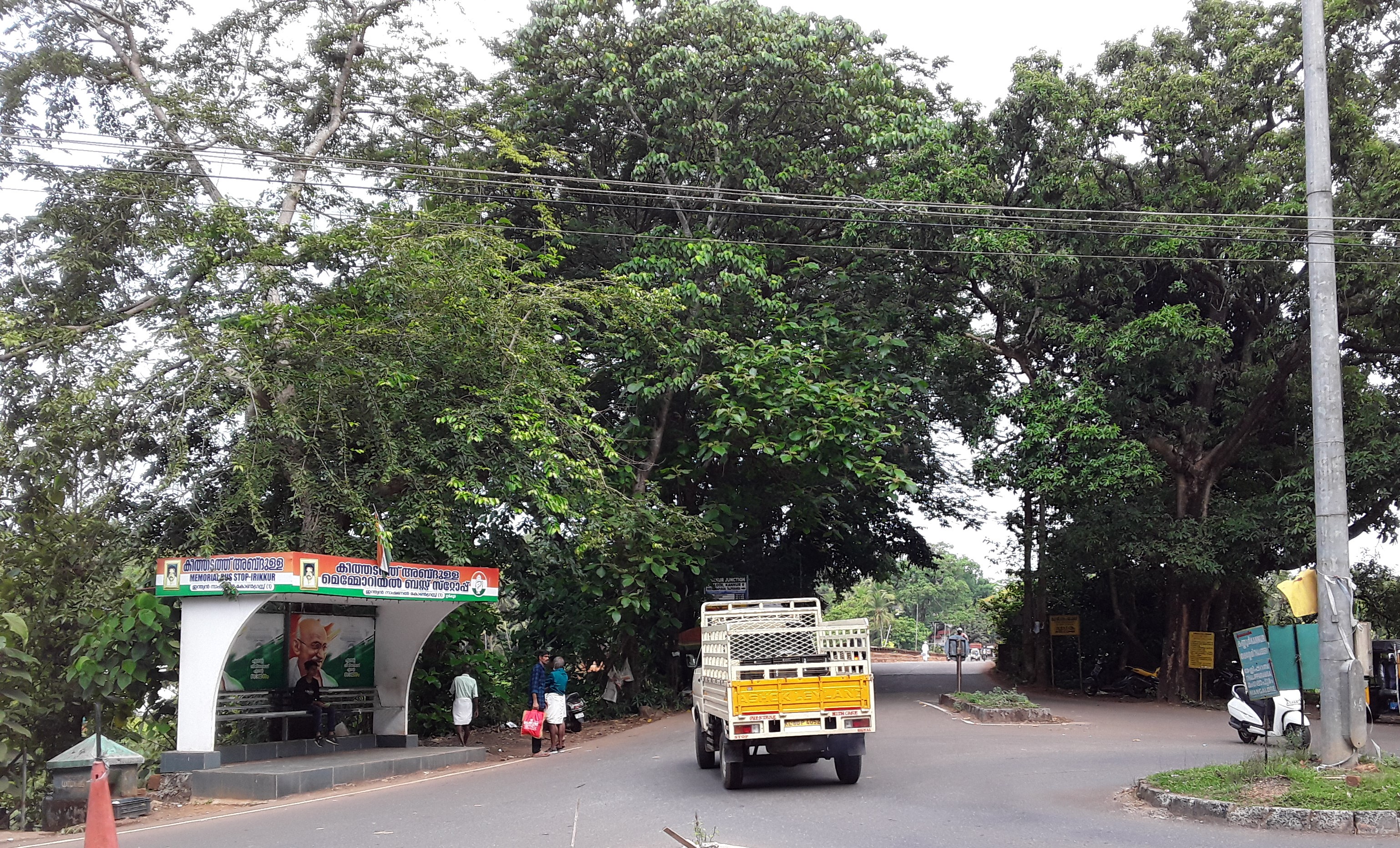
Irikkur is located on SH 36 between the towns of Taliparamba and Iritty and directly accessible from Kannur, Mattanur and Thalassery. It is equidistant from Kannur and Taliparamba of about 30 km (19 mi), 34 km (21 mi) away from Thalassery and 17 km (11 mi) from Iritty.[3]
History
Irikkur has historic and commercial importance,[4] and is one of the largest Muslim majority towns (76%) in Kannur district and lies on the banks of the Irikkur River, locally known as the "Ayippuzha". This river was the geographical border of the former Kottayam Kingdom ruled by Kerala Varma Pazhassi Raja.
Demography
As of 2011 Census, Irikkur had a population of 13,820 of which 6,690 are males while 7,130 are females. Irikkur census town has an area of 11.38 km2 (4.39 sq mi) which houses 2,327 families to which it supplies basic amenities like water and sewerage. It is also authorized to build roads within Census Town limits and impose taxes on properties coming under its jurisdiction.
In Irikkur, Female Sex Ratio is of 1066 against state average of 1084. Moreover, Child Sex Ratio is around 991 compared to Kerala state average of 964. Literacy rate of Irikkur is 92.03 % lower than state average of 94.00 %. In Irikkur, Male literacy is around 96.30 % while female literacy rate is 88.08 %.[5]
Transportation

National Highway (NH 66) passes through Taliparamba town. Mangalore and Mumbai can be accessed on the northern side and Cochin and Thiruvananthapuram can be accessed on the southern side. State Highway (SH 36) passes through Irikkur town connects with Taliparamba and Iritty. The road towards the east of Iritty connects to Mysore and Bangalore.[6]
The nearest railway station is Kannur on Shoranur-Mangalore Section line. There are airports at Mangalore and Kannur. The Kannur International Airport (KIAL) located at Mattannur is the nearest airport which is 13 km (8.1 mi) away.
Geography
Irikkur is located at 11.97°N 75.57°E.[7] It has an average elevation of 60 m (200 ft).
Tourism
Irikkur Assembly constituency has a major role in tourism in Kannur district as it covers mainly hilly regions bordering Western ghats with serene environment. Paithalmala, Palakkayam thattu, Kanjirakolli and Kappimala are the main tourist destinations in Irikkur constituency that enhances huge inflow of tourists. Irikkur is being promoted as the tourism hub of Malabar providing adequate infrastructure and accommodation facilities which lacks currently being planned in the region through investors global meet and tourism meet to be held here.[8][9]
Educational Institutions
- SIBGA Institute of Advanced Studies, Irikkur[10]
- Govt HSS, Irikkur
- Rahmaniya Orphanage HSS, Irikkur[11]
Religion
Approximately 76%[12] of the population consists of Muslims
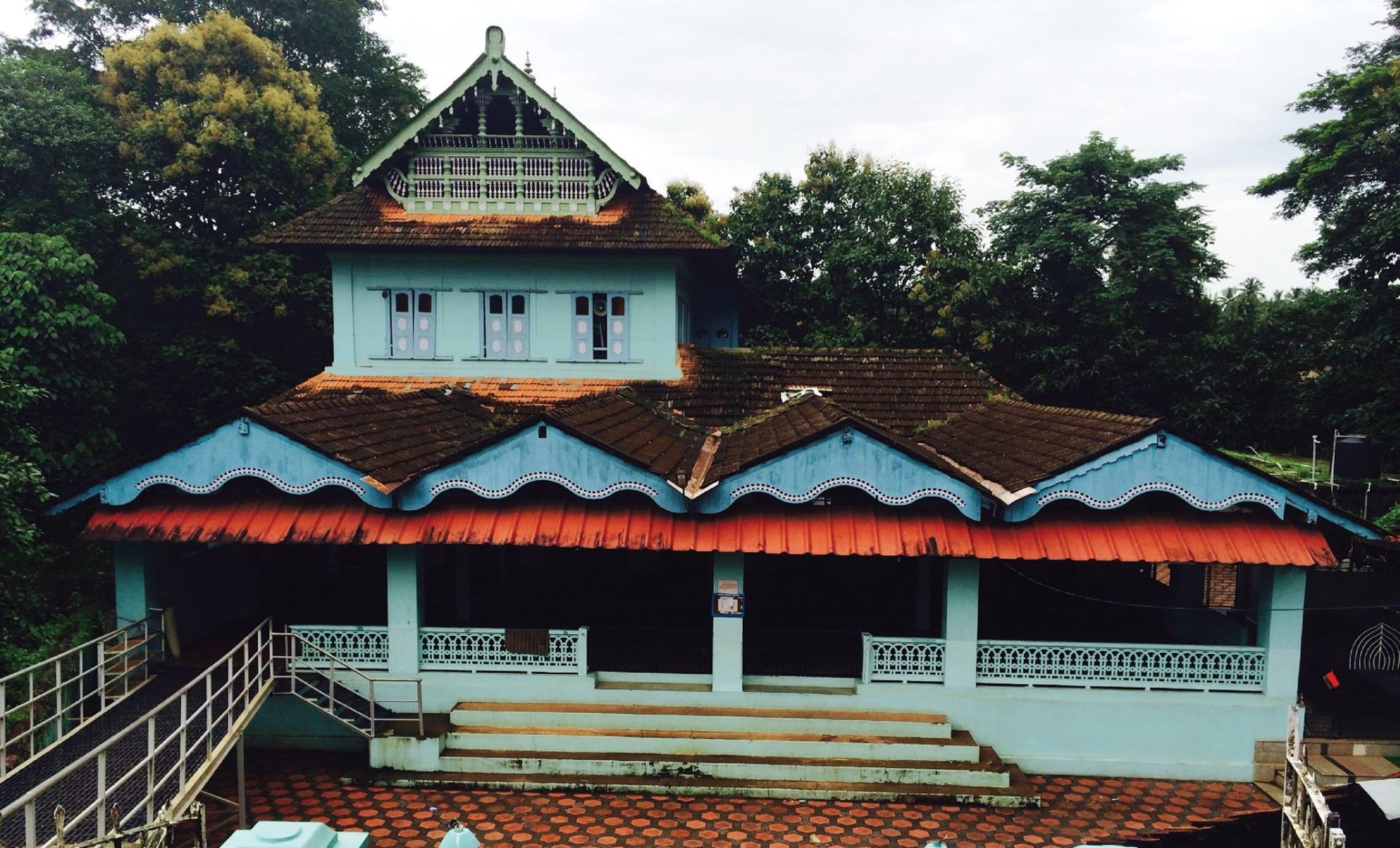
- Mamanikkunn temple, one of the famous Hindu temples of Kerala.
- 20 mosques, out of which allow to pray
- A Christian seminary
Politics
Irikkur assembly constituency is part of Kannur Lok Sabha constituency.[13][14] The current MLA of Irikkur is Sajeev Joseph from INC who won in the 2021 Kerala Legislative Assembly election with a vote share of 50.33%.[15]
References
- "Kerala (India): Districts, Cities and Towns - Population Statistics, Charts and Map".
- "DE Status".
- "Routes and Locations". keralatourism.org.
- Bouchon, Genevieve (1988). Regent of the Sea. Oxford University Press. p. 14.
- Kerala, Directorate of Census Operations. District Census Handbook, Kannur (PDF). Thiruvananthapuram: Directorateof Census Operations,Kerala. p. 180,181. Retrieved 14 July 2020.
- "Kerala State Highways". Kerala PWD Department. Archived from the original on 1 December 2010. Retrieved 13 May 2016.
- Falling Rain Genomics, Inc - Irikkur
- Babu, Mahesh. "Irikkur in a new make over all set to become the tourism hub of malabar". Oneindia. Retrieved 28 August 2022.
- Staff Reporter (28 August 2022). "Year-long programme planned to convert Irikkur into a tourism hub". The Hindu.
- "Higher Education Institutes in Kannur University".
- "Higher Secondary Education Portal". www.dhsekerala.gov.in.
- "Irikkur Census Town City Population Census 2011-2021 | Kerala".
- "Assembly Constituencies - Corresponding Districts and Parliamentary Constituencies" (PDF). Kerala. Election Commission of India. Archived from the original (PDF) on 4 March 2009. Retrieved 18 October 2008.
- "Niyamasabha constituencies of Kannur". ceo.kerala.gov.in.
- "Irikkur Assembly Election Results 2021". Oneindia.
Другой контент может иметь иную лицензию. Перед использованием материалов сайта WikiSort.org внимательно изучите правила лицензирования конкретных элементов наполнения сайта.
WikiSort.org - проект по пересортировке и дополнению контента Википедии