world.wikisort.org - France
Hérouville-Saint-Clair (French pronunciation: [eʁuvil sɛ̃ klɛʁ] (![]() listen)) is a commune in the Calvados department in the Normandy region in northwestern France.
listen)) is a commune in the Calvados department in the Normandy region in northwestern France.
This article may be expanded with text translated from the corresponding article in French. (December 2008) Click [show] for important translation instructions.
|
Hérouville-Saint-Clair | |
|---|---|
Commune | |
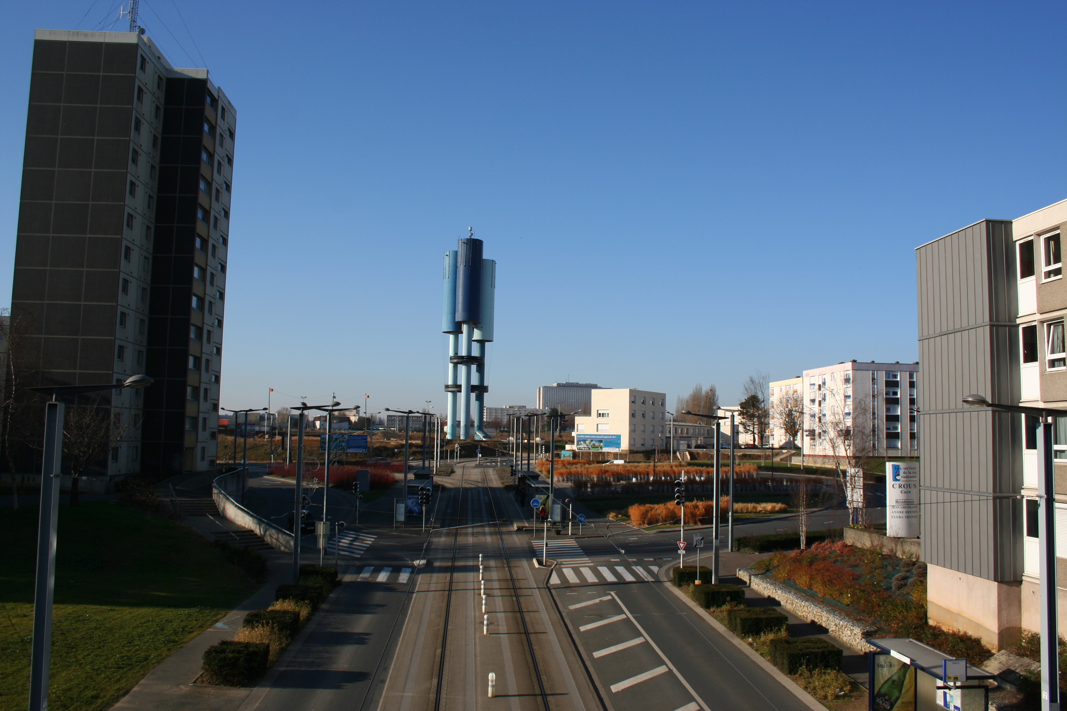 The Place de la Fontaine seen from the footbridge | |
 Coat of arms | |
Location of Hérouville-Saint-Clair  | |
 Hérouville-Saint-Clair  Hérouville-Saint-Clair | |
| Coordinates: 49°12′16″N 0°19′31″W | |
| Country | France |
| Region | Normandy |
| Department | Calvados |
| Arrondissement | Caen |
| Canton | Hérouville-Saint-Clair |
| Intercommunality | Caen la Mer |
| Government | |
| • Mayor (2020–2026) | Rodolphe Thomas[1] |
| Area 1 | 10.64 km2 (4.11 sq mi) |
| Population | 22,555 |
| • Density | 2,100/km2 (5,500/sq mi) |
| Time zone | UTC+01:00 (CET) |
| • Summer (DST) | UTC+02:00 (CEST) |
| INSEE/Postal code | 14327 /14200 |
| Elevation | 1–70 m (3.3–229.7 ft) (avg. 34.5 m or 113 ft) |
| 1 French Land Register data, which excludes lakes, ponds, glaciers > 1 km2 (0.386 sq mi or 247 acres) and river estuaries. | |
It is a suburb of the city of Caen, and lies adjacent to it in a northeasterly direction, along the west side of the Canal de Caen à la Mer. Its inhabitants are called Hérouvillais.
Just across the canal from Hérouville is a Renault Trucks manufacturing plant, which is situated between the canal and the Orne River. Just east of the river is the town of Colombelles.
Hérouville was the commune name until 1957.
Population
Hérouville-Saint-Clair experienced a very fast development which made it the most populous suburb of Caen. A simple village at the beginning of 1960, the commune passed from fewer than 2,000 inhabitants to almost 25,000 in less than fifteen years. This figure has varied little since 1975.
|
| ||||||||||||||||||||||||||||||||||||||||||||||||||||||||||||||||||||||||||||||||||||||||||||||||||||||||||||||||||
| Source: EHESS[3] and INSEE (1968-2017)[4] | |||||||||||||||||||||||||||||||||||||||||||||||||||||||||||||||||||||||||||||||||||||||||||||||||||||||||||||||||||
See also
References
- "Répertoire national des élus: les maires". data.gouv.fr, Plateforme ouverte des données publiques françaises (in French). 2 December 2020.
- "Populations légales 2019". The National Institute of Statistics and Economic Studies. 29 December 2021.
- Des villages de Cassini aux communes d'aujourd'hui: Commune data sheet Hérouville-Saint-Clair, EHESS. (in French)
- Population en historique depuis 1968, INSEE
External links
Authority control | |
|---|---|
| General | |
| National libraries | |
| Other | |
This Calvados geographical article is a stub. You can help Wikipedia by expanding it. |
На других языках
- [en] Hérouville-Saint-Clair
[ru] Эрувиль-Сен-Клер
Эруви́ль-Сен-Клер (фр. Hérouville-Saint-Clair) — коммуна во Франции, находится в регионе Нормандия, департамент Кальвадос, округ Кан, центр одноименного кантона. Пригород Кана, примыкает к нему с северо-востока, на левом берегу канала Кан, связывающего центр региона с морским побережьем. Второй по численности населения город департамента Кальвадос.Другой контент может иметь иную лицензию. Перед использованием материалов сайта WikiSort.org внимательно изучите правила лицензирования конкретных элементов наполнения сайта.
WikiSort.org - проект по пересортировке и дополнению контента Википедии