world.wikisort.org - Egypt
6th of October (Arabic: السادس من أكتوبر, romanized: Al Sādis Min Uktōber; Egyptian Arabic: ستة اكتوبر, romanized: Setta Oktōbar) is a city in Giza Governorate, a satellite town and part of the urban area of Cairo, Egypt, 32 km (20 miles) outside the city.[1] It has a population ranging between some 185,000 in the city to an estimated 500,000 inhabitants in the wider area.[2]
6th of October
السادس من أكتوبر ستة اكتوبر | |
|---|---|
City | |
 Street in 6 October City | |
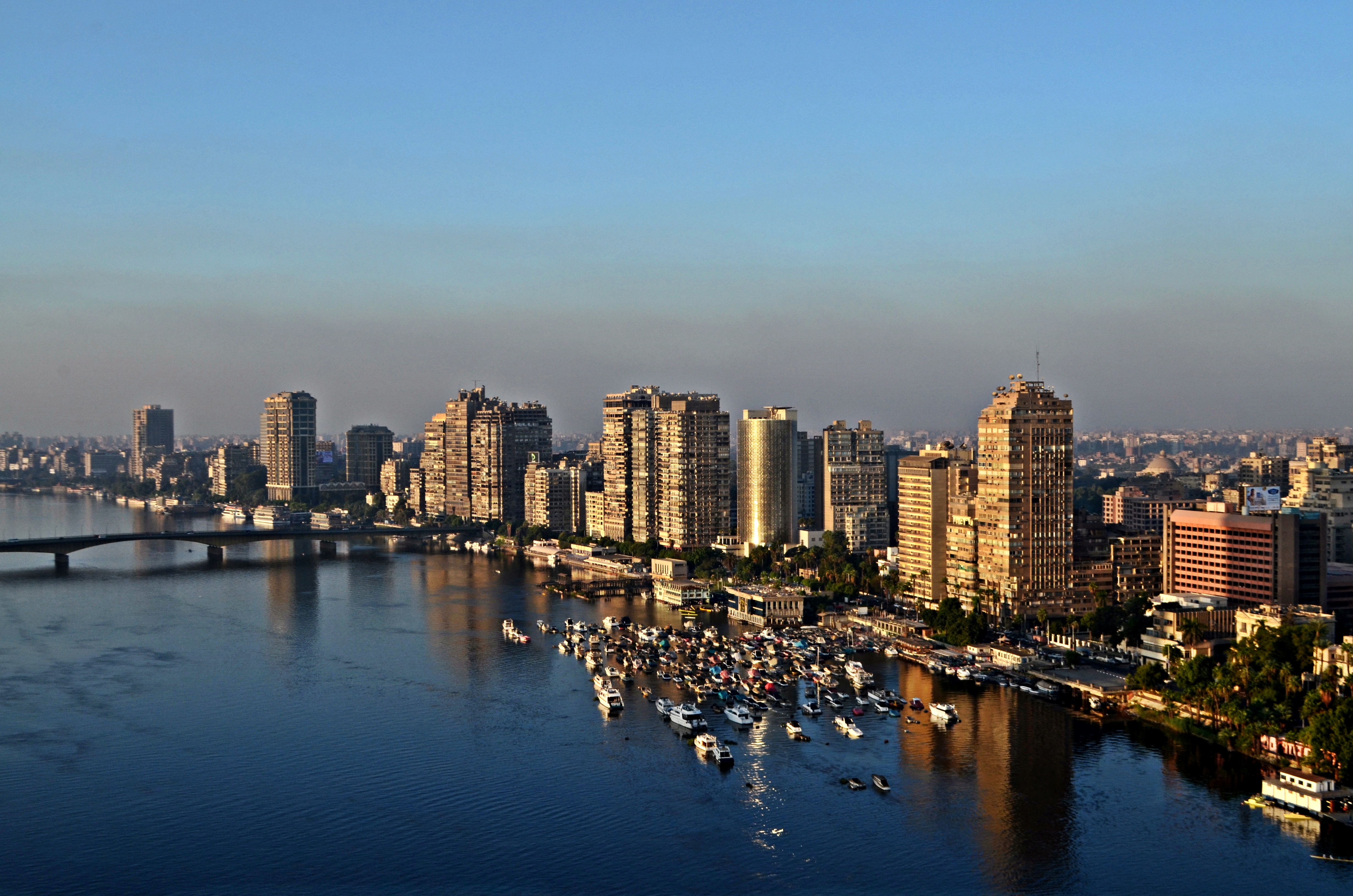
 6th of October Location in Egypt | |
| Coordinates: 29°59′N 30°58′E | |
| Country | |
| Governorate | Giza |
| Founded | 1979 |
| Population | |
| • Total | 500,000 |
| Time zone | UTC+2 (EET) |
6th of October was the capital of the now defunct 6th of October Governorate. A new city in the desert,[3] it hosts Egyptian students and students from various countries, such as the Persian Gulf, Jordan, Nigeria, Cameroon, Syria, Iraq, and the Palestinian territories, who study at its private universities.
History
The settlement was established in 1978 by the 504th presidential decree of Egyptian President Anwar El Sadat. It is 17 km (11 mi) from the great pyramids of Giza and 32 km (20 mi) from downtown Cairo. The city has a total area of 482 km2 (119,200 acres) and, eventually, is expected to have 6 million inhabitants, although there are many unoccupied or incomplete buildings.[4]
It was announced as the capital of the 6th of October Governorate in April 2008. Following the governorate's dissolution in April 2011, in the wake of the Egyptian revolution, it was reincorporated into the Giza Governorate, to which it had originally belonged.
The city's name commemorates the commencement of the 1973 Arab–Israeli War on October 6, 1973, the same date chosen as Egypt's Armed Forces Day.
Climate
Köppen-Geiger climate classification system classifies its climate as hot desert (BWh). Its climate is very similar to Giza and Cairo, owing to its proximity to them
| Climate data for 6th of October City | |||||||||||||
|---|---|---|---|---|---|---|---|---|---|---|---|---|---|
| Month | Jan | Feb | Mar | Apr | May | Jun | Jul | Aug | Sep | Oct | Nov | Dec | Year |
| Average high °C (°F) | 18.4 (65.1) |
20 (68) |
23.1 (73.6) |
27.6 (81.7) |
31.7 (89.1) |
34.1 (93.4) |
34.4 (93.9) |
34.1 (93.4) |
31.9 (89.4) |
29.6 (85.3) |
24.8 (76.6) |
20 (68) |
27.5 (81.5) |
| Daily mean °C (°F) | 12 (54) |
13.1 (55.6) |
15.9 (60.6) |
19.5 (67.1) |
23.5 (74.3) |
26.2 (79.2) |
27.2 (81.0) |
26.9 (80.4) |
24.9 (76.8) |
22.6 (72.7) |
18.5 (65.3) |
13.8 (56.8) |
20.3 (68.6) |
| Average low °C (°F) | 5.7 (42.3) |
6.3 (43.3) |
8.8 (47.8) |
11.5 (52.7) |
15.4 (59.7) |
18.3 (64.9) |
20 (68) |
19.8 (67.6) |
18 (64) |
15.7 (60.3) |
12.2 (54.0) |
7.6 (45.7) |
13.3 (55.9) |
| Average precipitation mm (inches) | 5 (0.2) |
5 (0.2) |
3 (0.1) |
2 (0.1) |
0 (0) |
0 (0) |
0 (0) |
0 (0) |
0 (0) |
1 (0.0) |
3 (0.1) |
6 (0.2) |
25 (0.9) |
| Source: Climate-Data.org[5] | |||||||||||||
Headquarters

6th of October is the headquarters of the Confederation of African Football. It hosts Egypt's Smart Village, the technology park and regional hub for many companies in the IT and financial sectors.[citation needed]
Business
6th of October City has one of the largest industrial zones in Egypt, on which the entire city was established. The industrial zone provides jobs for employees within the city as well as from other parts of Giza. It is accompanied by a banking sector that groups branches of all banks in Egypt in an area that is close to the industrial area to serve the needs of the industry and residents.
Some of the largest businesses in 6th of October City are mentioned below:
- Bavarian Auto Group[6]
- Egyptian German Automotive Company
- General Motors Egypt[7]
- Shaer Consult Consultant Engineers
- Seoudi Group[8]
- Stream Global Services
- Vodafone Egypt
Industry
6th of October Airport is used for the transport of products and materials to and from the city. The city also houses four industrial zones.
Important factories:
- IGA Egyptian-German Car Factory
- Suzuki Egypt
- Juhayna Food Industries
- Daewoo Motors Egypt
- Style Team Lighting
- Franke Kitchen Systems Egypt
- Pepsico Egypt
- Aller Aqua Factory[9][10]
Education facilities

There are seven private universities in 6th of October City, including two private medical schools at Misr University for Science and Technology and October 6 University.
Universities and Institutes


- Ahram Canadian University (ACU)
- Akhbar El Youm Academy
- Cairo University (CU) in Sheikh Zayed City
- Culture & Science City
- Egyptian Aviation Academy (EAA)
- Higher Institute of Applied Arts
- Higher Institute for Architecture
- Higher Institute of Engineering
- Higher Institute of Science and Technology
- Higher Technological Institute
- Pyramids Higher Institute for Engineering and Technology
- Misr University for Science and Technology (MUST)
- Modern Sciences and Arts University (MSA)
- Nile University (NU)
- New Giza University (NGU)
- October 6 University (O6U)
- Zewail City of Science and Technology
- Arab Academy for Science, Technology & Maritime Transport
- Information Technology Institute Archived 2019-12-01 at the Wayback Machine
Secondary schools and international schools
This section needs expansion. You can help by adding to it. (January 2015) |
- American International School in Egypt West Campus - Sheikh Zayed City[11]
- Beverly Hills Schools
- British International School in Cairo[12]
- International School of Choueifat 6th of October City[13]
- Heritage International School[14]
- 6th of October Stem school
- City Language School[15]
- Hossary-Azhari Language School[16]
Health services
- Dar Al Fouad Hospital, the first accredited cardiac hospital in Africa and the Middle East
- Misr University for Science and Technology (Souad Kafafi Memorial) Hospital
- October 6 University Teaching Hospital
Religion
Islam

The city is served by many mosques, the largest being El Hosary Mosque on El Tahrir St. built in the honour of an eminent Egyptian Qari, Mahmoud Khalil Al-Hussary.
Christianity

There are several churches in 6th of October city. The most famous of them is Redeem Christian Church of God(RCCG).
Tourism and hotels
Hotels
- Hilton Pyramids Golf
- Mövenpick Hotel & Casino Cairo - Media City
- Novotel Hotel
- Helnan Dreamland Hotel & Conference Center
- Swiss Inn Pyramids Golf Resort & Swiss Inn Plaza

See also
- Sheikh Zayed City
- Smart Village Egypt
- Greater Cairo
- Haram City
- New Borg El Arab
- 10th of Ramadan (city)
- List of cities and towns in Egypt
References
- "To Catch Cairo Overflow, 2 Megacities Rise in Sand" article by Thanassis Cambanis in The New York Times August 24, 2010. Retrieved August 25, 2010.
- Emporis GmbH. "6th of October City - Buildings - EMPORIS". emporis.com. Archived from the original on November 26, 2011.
- Neil MacFarquhar, David Rohde, Aram Roston: Mubarak Family Riches Attract New Focus. The New York Times, February 12, 2011, retrieved February 13, 2011
- "6th October City". New Urban Communities Authority Portal. Retrieved 30 October 2016.
- "Climate: 6th of October - Climate graph, Temperature graph, Climate table". Climate-Data.org. Retrieved 16 August 2013.
- "Contact Bavarian Auto Group". Bag-eg.com. Archived from the original on January 24, 2010. Retrieved 2011-02-02.
- Satyam. "Welcome to GMArabia Corporate Information". Gmegypt.com. Archived from the original on 2011-02-20. Retrieved 2011-02-02.
- "Seoudi Group 1001 opportunities for investment in Egypt and Arab World". Seoudi.com. Archived from the original on 1 February 2011. Retrieved 2011-02-02.
- "Aller Aqua Factories and Sales Offices". Aller Aqua. Archived from the original on 5 November 2016. Retrieved 30 October 2016.
- "New Egyptian Factory Press Release". Aller Aqua. Archived from the original on 31 October 2016. Retrieved 30 October 2016.
- "Home." American International School in Egypt West Campus. Retrieved on January 25, 2015. "AMERICAN INTERNATIONAL SCHOOL IN EGYPT WEST CAMPUS Sheikh Zayed City Entrance 2 Greens Compound"
- "Contact Us." British International School in Cairo. Retrieved on 23 January 2015. "Physical Address: Km 38, Cairo-Alexandria Desert Road, Beverly Hills, 6th of October City, Egypt, 12451" - See map Archived 2015-01-28 at the Wayback Machine
- "Contact Us." International School of Choueifat 6th of October City. Retrieved on 24 January 2015. "The International School of Choueifat - City of 6 October, Egypt Dreamland, City of 6 October, Al Giza, Egypt"
- "Heritage International School". www.heritageinternationalschool.com. Retrieved 2016-07-08.
- "City Language Schools". Archived from the original on 2016-04-18.
- "Hossary Language School".
| First Generation |
|
|---|---|
| Second Generation |
|
| Third Generation |
|
| Fourth Generation |
|
Districts and suburbs of Greater Cairo-Giza | ||||||||||
|---|---|---|---|---|---|---|---|---|---|---|
| Cairo Governorate |
|   | ||||||||
| Giza Governorate |
| |||||||||
| Qalyubia Governorate |
| |||||||||
| 1,000,000 and more |
|
|---|---|
| 300,000–999,999 | |
| 100,000–299,999 |
|
| <99,999 |
|
Authority control | |
|---|---|
| General |
|
| National libraries | |
На других языках
[de] Madinat as-Sadis min Uktubar
Madinat as-Sadis min Uktubar (arabisch مدينة السادس من أكتوبر, DMG Madīnat as-Sādis min Uktūbar, deutsch Stadt des 6. Oktober, englisch 6th of October City) ist eine ägyptische Stadt im Gouvernement al-Dschiza.- [en] 6th of October (city)
[es] Seis de Octubre (ciudad)
La ciudad de Seis de Octubre (en árabe: ستة أكتوبر Seta Uktober) se localiza dentro de la República Árabe de Egipto, en la gobernación de Giza.[ru] Город имени 6 октября
Го́род имени 6 октября́ (Медина-Ситтат-Октобер, араб. مدينة ستة اكتوبر) — город в Египте, примерно в 20 км к юго-западу от Каира, на левом берегу Нила. Был центром провинции 6 октября в 2008—2011 гг. До 2008, а также с 2011 года входит в состав провинции Гиза. Население — 154 093 человека. Общая площадь города — 97,4 тысячи фадданов (400 км²). Недавно построенный современный город, входит в состав Большого Каира. Несколько университетов с большим числом студентов.Другой контент может иметь иную лицензию. Перед использованием материалов сайта WikiSort.org внимательно изучите правила лицензирования конкретных элементов наполнения сайта.
WikiSort.org - проект по пересортировке и дополнению контента Википедии