world.wikisort.org - Egypt
Talkha (Arabic: طلخا pronounced [ˈtˤɑlxɑ]) is a city in Dakahlia Governorate, Egypt. The city is located on the west bank of the Damietta,[1] a distributary of the Nile in the Delta region. Is about 120 km northeast of Cairo. Talkha is situated opposite the city of Mansoura on the Damietta. Together, the two cities form an agglomeration.
Talkha | |
|---|---|
city | |
 Talkha (right) and Mansoura (left) | |
 Talkha Location in Egypt | |
| Coordinates: 31.054735°N 31.375644°E | |
| Country | |
| Governorate | Dakahlia |
| Elevation | 18 m (59 ft) |
| Population (2012) | |
| • Total | 92,084 |
| Time zone | UTC+2 (EET) |
| Postal code | 35111 |
| Area code(s) | 50 |
Talkha contains the neighborhoods of Old Market, El Maalamein, Ar Rouda, El Sharifa, and El Muhandisin.

Roads in Talkha

Railway bridge between Talkha and Mansoura
Climate
Talkha is classified within the Köppen-Geiger climate classification system as a hot desert (BWh).
| Climate data for Talkha | |||||||||||||
|---|---|---|---|---|---|---|---|---|---|---|---|---|---|
| Month | Jan | Feb | Mar | Apr | May | Jun | Jul | Aug | Sep | Oct | Nov | Dec | Year |
| Average high °C (°F) | 18.9 (66.0) |
19.8 (67.6) |
22.4 (72.3) |
26.3 (79.3) |
32 (90) |
33 (91) |
32.7 (90.9) |
33.3 (91.9) |
32 (90) |
27.5 (81.5) |
25 (77) |
20.6 (69.1) |
27.0 (80.6) |
| Daily mean °C (°F) | 12.8 (55.0) |
13.5 (56.3) |
15.8 (60.4) |
19.1 (66.4) |
23.6 (74.5) |
25.7 (78.3) |
26.7 (80.1) |
26.9 (80.4) |
25.3 (77.5) |
22.8 (73.0) |
19.4 (66.9) |
14.8 (58.6) |
20.5 (69.0) |
| Average low °C (°F) | 6.8 (44.2) |
7.3 (45.1) |
9.2 (48.6) |
11.9 (53.4) |
15.2 (59.4) |
18.4 (65.1) |
20.7 (69.3) |
20.5 (68.9) |
18.7 (65.7) |
17 (63) |
13.9 (57.0) |
9.1 (48.4) |
14.1 (57.3) |
| Average precipitation mm (inches) | 13 (0.5) |
9 (0.4) |
6 (0.2) |
4 (0.2) |
3 (0.1) |
0 (0) |
0 (0) |
0 (0) |
0 (0) |
4 (0.2) |
7 (0.3) |
11 (0.4) |
57 (2.3) |
| Source: Climate-Data.org[2] | |||||||||||||
See also
- List of cities and towns in Egypt
References
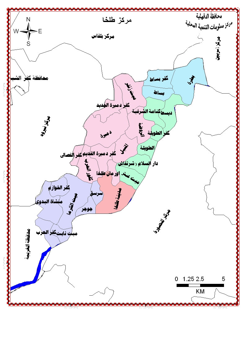
- "Map of Talkha". Dakahliya Governorate site.
- "Climate: Talkha - Climate graph, Temperature graph, Climate table". Climate-Data.org. Archived from the original on 2015-02-24. Retrieved 13 August 2013.
| 1,000,000 and more |
|
|---|---|
| 300,000–999,999 | |
| 100,000–299,999 |
|
| <99,999 |
|
На других языках
- [en] Talkha
[ru] Тальха
Та́льха (Талха) — город в Египте, расположен в губернаторстве Дакахлия, на противоположном берегу Нила от города Эль-Мансура. Население 157 737 жителей. Город делится на районы: Старый Рынок, Эль-Маалямейн, Эр-Роуда Эль-Шарифа, Таксим Амру Юнис, Район Клубов, Город Удобрений, Колония, Тоннель и Эль-Мухандисин. Доля неграмотных в возрасте старше 15 лет - 43%.Текст в блоке "Читать" взят с сайта "Википедия" и доступен по лицензии Creative Commons Attribution-ShareAlike; в отдельных случаях могут действовать дополнительные условия.
Другой контент может иметь иную лицензию. Перед использованием материалов сайта WikiSort.org внимательно изучите правила лицензирования конкретных элементов наполнения сайта.
Другой контент может иметь иную лицензию. Перед использованием материалов сайта WikiSort.org внимательно изучите правила лицензирования конкретных элементов наполнения сайта.
2019-2026
WikiSort.org - проект по пересортировке и дополнению контента Википедии
WikiSort.org - проект по пересортировке и дополнению контента Википедии