world.wikisort.org - Egypt
15th of May City (Arabic: مدينة 15 مايو) is a city of eastern Helwan, Egypt, and is part of Greater Cairo. It was established in 1978, and is located south of the Nile Delta and east of central Helwan City. It was constructed to solve the problem of insufficient accommodation.[1]
15th of May City
مدينة 15 مايو | |
|---|---|
City | |
 | |
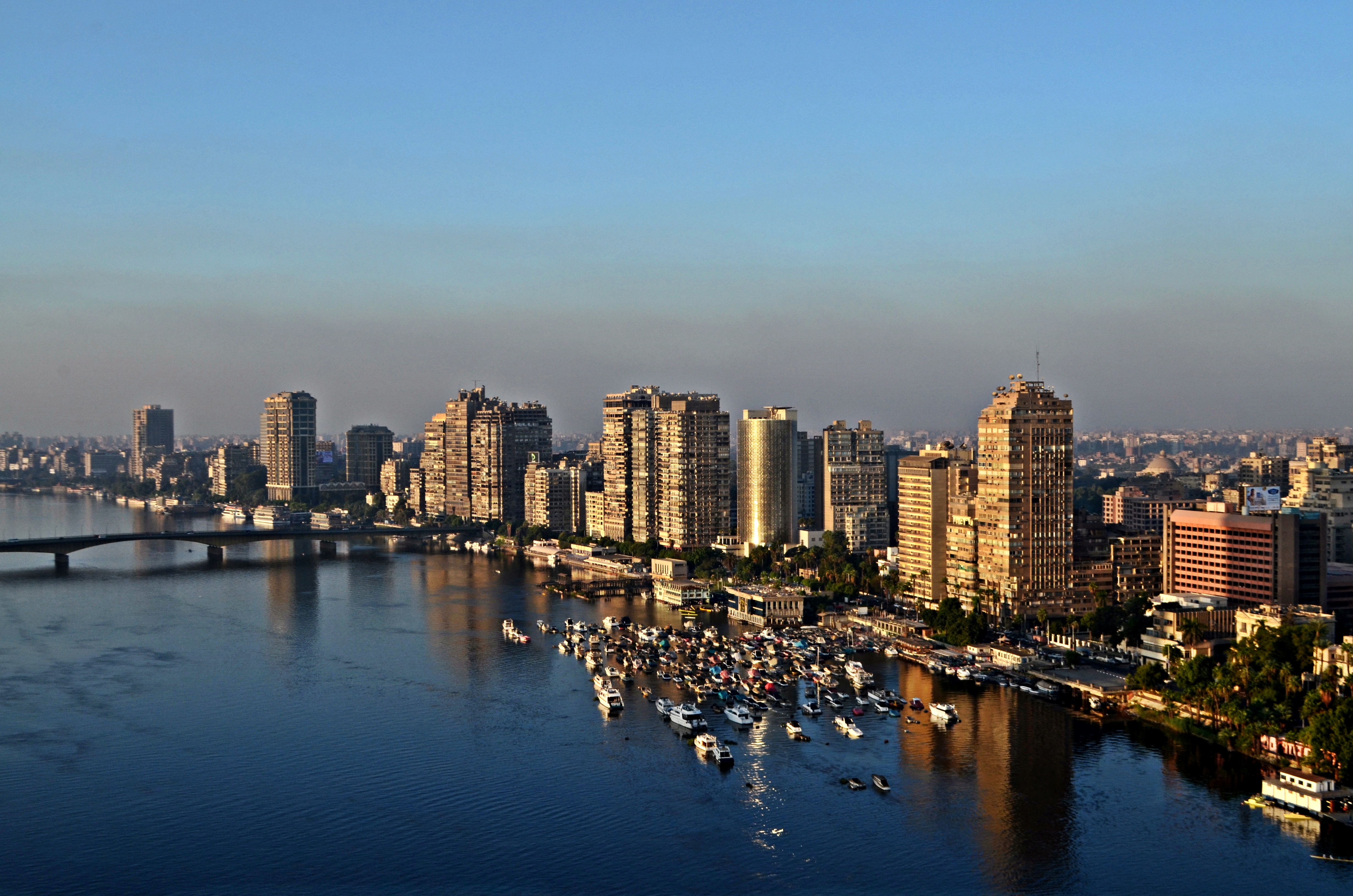
 15th of May City Location in Egypt | |
| Coordinates: 29.831871°N 31.360050°E | |
| Country | |
| Governorate | Cairo |
| Time zone | UTC+2 (EST) |
Name
The name was chosen to immortalize the memory of the Corrective Revolution (launched as the "Corrective Movement"), a reform program (officially just a change in policy) launched on 15 May 1971 by President Anwar Sadat. It involved purging Nasserist members of the government and security forces, often considered pro-Soviet and left-wing, and drumming up popular support by presenting the takeover as a continuation of the Egyptian Revolution of 1952, while at the same time radically changing track on issues of foreign policy, economy, and ideology. Sadat's Corrective Revolution also included the imprisonment of other political forces in Egypt, including liberals and Islamists.
Geography
The City of 15th of May is located in the south east of the city of Helwan.
Climate
Köppen-Geiger climate classification system classifies its climate as hot desert (BWh),[2] as the rest of Egypt. Due to its closeness to Helwan, it has very similar averages.
| Climate data for 15th of May City | |||||||||||||
|---|---|---|---|---|---|---|---|---|---|---|---|---|---|
| Month | Jan | Feb | Mar | Apr | May | Jun | Jul | Aug | Sep | Oct | Nov | Dec | Year |
| Average high °C (°F) | 19.4 (66.9) |
21.1 (70.0) |
24.4 (75.9) |
29.2 (84.6) |
33.6 (92.5) |
35.4 (95.7) |
35.9 (96.6) |
35.5 (95.9) |
32.8 (91.0) |
30.8 (87.4) |
26.1 (79.0) |
21.2 (70.2) |
28.8 (83.8) |
| Daily mean °C (°F) | 13.8 (56.8) |
14.9 (58.8) |
17.7 (63.9) |
21.5 (70.7) |
25.5 (77.9) |
27.8 (82.0) |
28.7 (83.7) |
28.6 (83.5) |
26.4 (79.5) |
24.4 (75.9) |
20.3 (68.5) |
15.6 (60.1) |
22.1 (71.8) |
| Average low °C (°F) | 8.2 (46.8) |
8.7 (47.7) |
11 (52) |
13.8 (56.8) |
17.5 (63.5) |
20.3 (68.5) |
21.6 (70.9) |
21.8 (71.2) |
20 (68) |
18.1 (64.6) |
14.5 (58.1) |
10.1 (50.2) |
15.5 (59.9) |
| Average precipitation mm (inches) | 4 (0.2) |
3 (0.1) |
2 (0.1) |
1 (0.0) |
0 (0) |
0 (0) |
0 (0) |
0 (0) |
0 (0) |
0 (0) |
2 (0.1) |
5 (0.2) |
17 (0.7) |
| Source: Climate-Data.org (altitude: 87m)[2] | |||||||||||||
Economy
Industry
The city of 15th of May has a group of factories for many products.
Trading
15th of May city has several shopping malls, supermarkets and shops.
Education
The city has a group of schools such as the El Mostaqbal school.
Higher Education
The Higher Institute of Engineering is the most important educational foundation in the city.
Religion
The city has a group of mosques as:
- Masjid al Jafari
- Aly Ibn Aby Taleb
- Mostafa Mosque
- Al Fardos Mosque
- Al Radwan
- Masjid El-Nour
And also the city has two churches:
- St. Mark's Church
- Church of Saint virgin mary & st. Athnasyous
See also
- Greater Cairo
- Helwan
- List of cities and towns in Egypt
- Maadi
References
- Mohamed, Adel; S. Araffa, Nagi Mahmoud (2011). "Delineation of Near-Surface Structure in the Southern Part of 15th of May City, Cairo, Egypt Using Geological, Geophysical and Geotechnical Techniques". Pure and Applied Geophysics. 169 (9): 1641–1654. doi:10.1007/s00024-011-0415-y.
- "Climate: 15th of May City - Climate graph, Temperature graph, Climate table". Climate-Data.org. Retrieved 2013-12-14.
| First Generation |
|
|---|---|
| Second Generation |
|
| Third Generation |
|
| Fourth Generation |
|
Districts and suburbs of Greater Cairo-Giza | ||||||||||
|---|---|---|---|---|---|---|---|---|---|---|
| Cairo Governorate |
|   | ||||||||
| Giza Governorate |
| |||||||||
| Qalyubia Governorate |
| |||||||||
This geography of Egypt article is a stub. You can help Wikipedia by expanding it. |
На других языках
[de] Stadt des 15. Mai
Die Stadt des 15. Mai (arabisch مدينة 15 مايو) ist eine Stadt in Ägypten, und ist Teil des Großraums Kairo. Sie wurde 1978 gegründet und liegt südlich des Nildeltas und östlich des Zentrums von Helwan. Sie wurde gebaut, um das Problem der unzureichenden Unterbringung zu lösen.[1]- [en] 15th of May (city)
Другой контент может иметь иную лицензию. Перед использованием материалов сайта WikiSort.org внимательно изучите правила лицензирования конкретных элементов наполнения сайта.
WikiSort.org - проект по пересортировке и дополнению контента Википедии