world.wikisort.org - Czech
![]() Hrčava (help·info) (Polish:
Hrčava (help·info) (Polish: ![]() Herczawa, German: Hertschawa) is a municipality and village in Frýdek-Místek District in the Moravian-Silesian Region of the Czech Republic. It has about 300 inhabitants.
Herczawa, German: Hertschawa) is a municipality and village in Frýdek-Místek District in the Moravian-Silesian Region of the Czech Republic. It has about 300 inhabitants.
Hrčava | |
|---|---|
Municipality | |
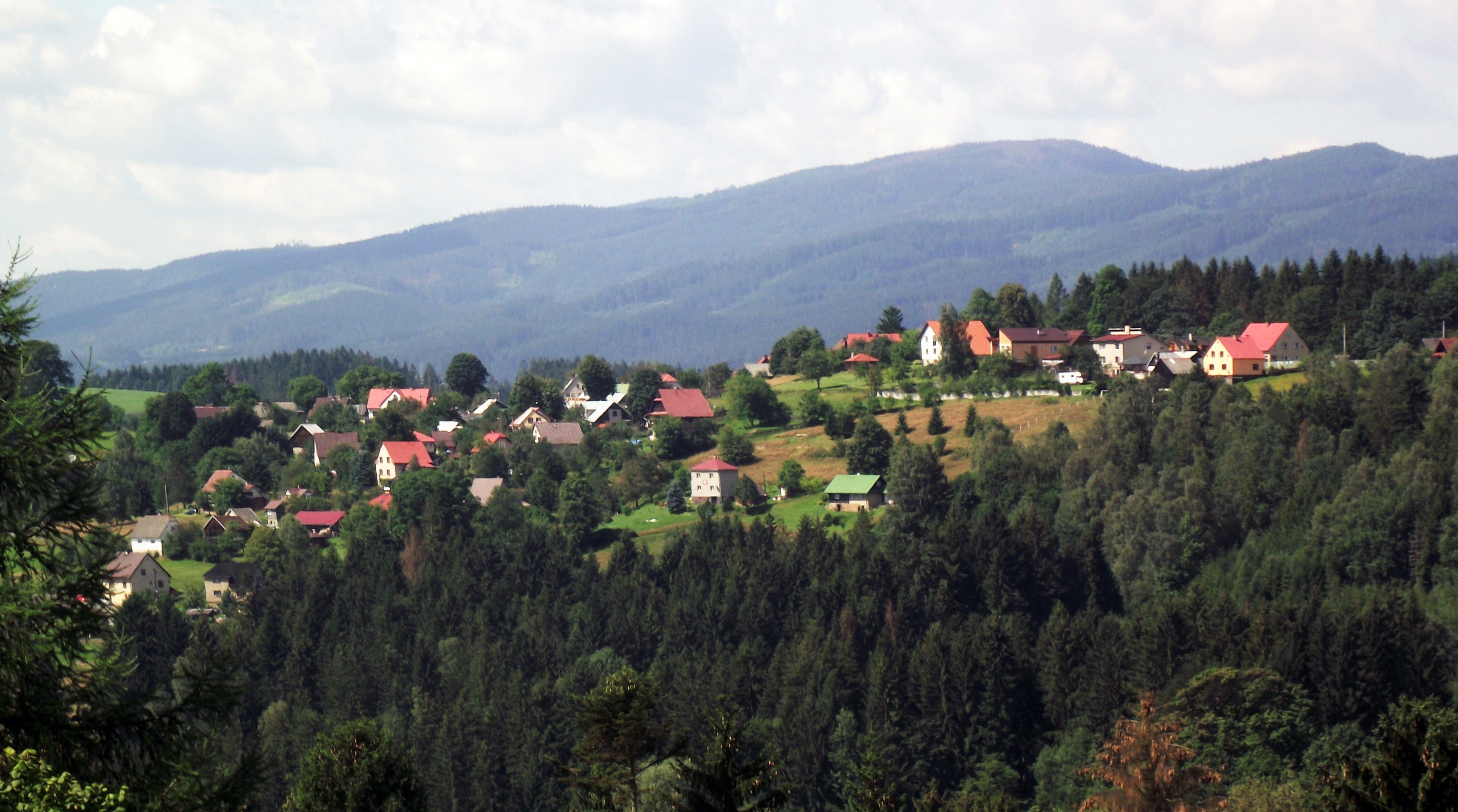 General view | |
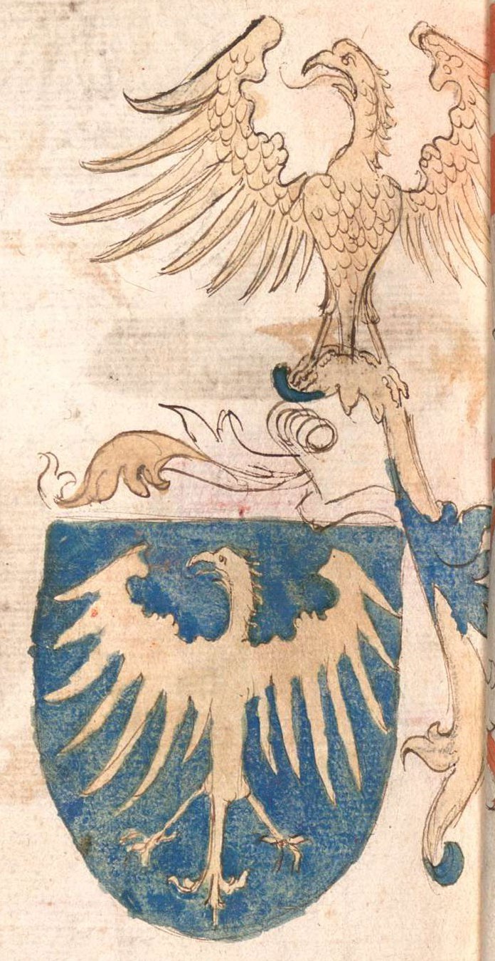
 Flag  Coat of arms | |
 Hrčava Location in the Czech Republic | |
| Coordinates: 49°31′12″N 18°49′59″E | |
| Country | |
| Region | Moravian-Silesian |
| District | Frýdek-Místek |
| First mentioned | 1645 |
| Area | |
| • Total | 2.89 km2 (1.12 sq mi) |
| Elevation | 605 m (1,985 ft) |
| Population (2022-01-01)[1] | |
| • Total | 243 |
| • Density | 84/km2 (220/sq mi) |
| Time zone | UTC+1 (CET) |
| • Summer (DST) | UTC+2 (CEST) |
| Postal code | 739 98 |
| Website | www |
Geography
Hrčava is located about 39 kilometres (24 mi) southeast of Frýdek-Místek, in the historical region of Cieszyn Silesia. It is the second easternmost municipality of the country (after neighboring Bukovec). The tripoint of the Czech Republic, Poland and Slovakia is located in the municipality.
Hrčava is situated in a hilly landscape of the Jablunkov Intermontane range. The highest point is on the slopes of the hill Na Dílech at about 696 metres (2,283 ft) above sea level.
History
The first written mention of Hrčava is from 1645 as Hertiava, when Hungarian fortifications were built here.[2] It was initially a hamlet administered by Jaworzynka, which belonged then to the Duchy of Teschen, a fee of Kingdom of Bohemia.
After World War I, Polish–Czechoslovak War and the division of Cieszyn Silesia in 1920, Jaworzynka with Hrčava became a part of Poland. In June 1921, Hrčava was temporarily annexed again to Czechoslovakia, but still was a part of Jaworzynka. In June 1924, it became a separate hamlet with a special legal status, administered by the district council. The municipality of Hrčava was established in October 1927.[2]
Following the Munich Agreement, in October 1938 together with the Zaolzie region they were annexed by Poland, administratively adjoined to Cieszyn County of Silesian Voivodeship.[3] They were then annexed by Nazi Germany at the beginning of World War II. After the war it was restored to Czechoslovakia.
Sights
The landmark of Hrčava is the Church of Saints Cyril and Methodius. It dates from 1936 and it is the youngest wooden church in the region.[4]
References
- "Population of Municipalities – 1 January 2022". Czech Statistical Office. 2022-04-29.
- "Trojmezí" (in Czech). Obec Hrčava. Retrieved 2022-06-30.
- "Ustawa z dnia 27 października 1938 r. o podziale administracyjnym i tymczasowej organizacji administracji na obszarze Ziem Odzyskanych Śląska Cieszyńskiego". Dziennik Ustaw Śląskich (in Polish). Katowice. nr 18/1938, poz. 35. 31 October 1938. Retrieved 1 July 2014.
- "Dřevěný kostel sv. Cyrila a Metoděje v Hrčavě" (in Czech). CzechTourism. Retrieved 2022-06-30.
External links
- Official website (in Czech)

| Authority control: National libraries |
|---|
На других языках
[de] Hrčava
Hrčava (deutsch Hertschawa, polnisch Herczawa) ist die zweitöstlichste Gemeinde (nach der Nachbargemeinde Bukovec) Tschechiens. Sie liegt zehn Kilometer nordöstlich von Čadca im Jablunkauer Bergland und gehört zum Okres Frýdek-Místek.- [en] Hrčava
Другой контент может иметь иную лицензию. Перед использованием материалов сайта WikiSort.org внимательно изучите правила лицензирования конкретных элементов наполнения сайта.
WikiSort.org - проект по пересортировке и дополнению контента Википедии