world.wikisort.org - Czech
Malenovice is a municipality and village in Frýdek-Místek District in the Moravian-Silesian Region of the Czech Republic. It has about 800 inhabitants.
Malenovice | |
|---|---|
Municipality | |
 Malenovice with the Church of Saint Ignatius of Loyola | |
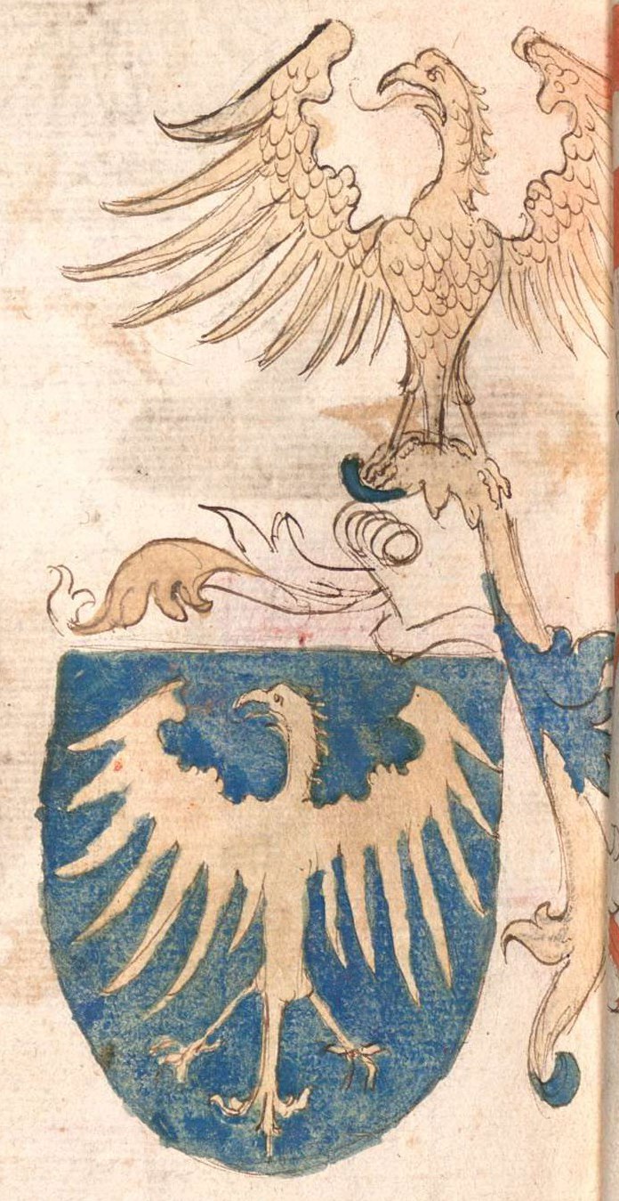
 Flag  Coat of arms | |
 Malenovice Location in the Czech Republic | |
| Coordinates: 49°34′46″N 18°24′37″E | |
| Country | |
| Region | Moravian-Silesian |
| District | Frýdek-Místek |
| First mentioned | 1610 |
| Area | |
| • Total | 13.00 km2 (5.02 sq mi) |
| Elevation | 510 m (1,670 ft) |
| Population (2022-01-01)[1] | |
| • Total | 773 |
| • Density | 59/km2 (150/sq mi) |
| Time zone | UTC+1 (CET) |
| • Summer (DST) | UTC+2 (CEST) |
| Postal code | 739 11 |
| Website | www |
Etymology
The name is derived from malina, i.e. "raspberry". They grew abundantly here at the time the village was founded.[2]
Geography
Malenovice lies in the historical region of Cieszyn Silesia. Most of the municipal territory lies in the Moravian-Silesian Beskids, a small part on the northwest lies in the Moravian-Silesian Foothills. The summit of the highest mountain of the Moravian-Silesian Beskids, Lysá hora at 1,323 metres (4,341 ft), is located on the southern municipal border.
History
The first written mention of Malenovice is from 1610. It was then a part of the Frýdek state country, which was a part of the Kingdom of Bohemia.[2]
References
- "Population of Municipalities – 1 January 2022". Czech Statistical Office. 29 April 2022.
- "Historie" (in Czech). Obec Malenovice. Retrieved 23 February 2022.
External links
- Official website (in Czech)
Cieszyn Silesia | ||||
|---|---|---|---|---|
| Municipalities in the Czech Republic |
|   | ||
| Municipalities in Poland |
| |||
| Related articles |
| |||
| Authority control: National libraries |
|---|
This Moravian-Silesian Region location article is a stub. You can help Wikipedia by expanding it. |
Другой контент может иметь иную лицензию. Перед использованием материалов сайта WikiSort.org внимательно изучите правила лицензирования конкретных элементов наполнения сайта.
WikiSort.org - проект по пересортировке и дополнению контента Википедии