world.wikisort.org - Czech
Horní Bludovice (Polish: Błędowice Górne, German: Ober Bludowitz) is a municipality and village in Karviná District in the Moravian-Silesian Region of the Czech Republic. It has about 2,500 inhabitants.
Horní Bludovice | |
|---|---|
Municipality | |
 Municipal office | |
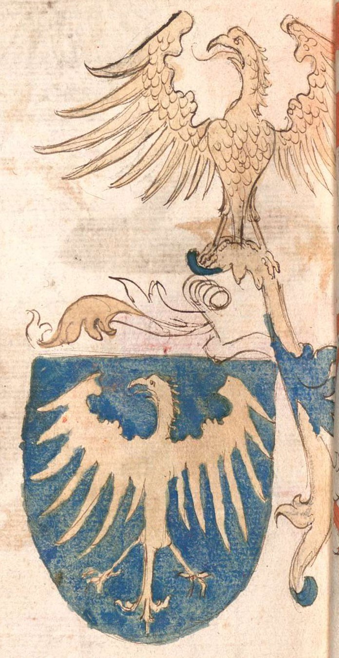
 Flag  Coat of arms | |
 Horní Bludovice Location in the Czech Republic | |
| Coordinates: 49°44′59″N 18°26′13″E | |
| Country | |
| Region | Moravian-Silesian |
| District | Karviná |
| First mentioned | 1335 |
| Government | |
| • Mayor | Petra Ficková |
| Area | |
| • Total | 8.98 km2 (3.47 sq mi) |
| Elevation | 280 m (920 ft) |
| Population (2022-01-01)[1] | |
| • Total | 2,484 |
| • Density | 280/km2 (720/sq mi) |
| Time zone | UTC+1 (CET) |
| • Summer (DST) | UTC+2 (CEST) |
| Postal code | 739 37 |
| Website | www |
Administrative parts
The village of Prostřední Bludovice is an administrative part of Horní Bludovice.
Geography
Horní Bludovice lies in the historical region of Cieszyn Silesia. The Lučina River flows through the municipality. It is located mostly in the Moravian-Silesian Foothills, Prostřední Bludovice extends into the Ostrava Basin lowland. The highest point is the hill Kohout with an elevation of 331 metres (1,086 ft).
History
The village of Bludovice (which was later known as Dolní Bludovice) was first mentioned in 1335. The division to Horní and Dolní Bludovice (Lower and Upper Bludovice) developed in the 15th century.[2]
Politically the village belonged then to the Duchy of Teschen within the Kingdom of Bohemia, which after 1526 became part of the Habsburg monarchy.
References
- "Population of Municipalities – 1 January 2022". Czech Statistical Office. 2022-04-29.
- Mrózek, Robert (1984). Nazwy miejscowe dawnego Śląska Cieszyńskiego [Local names of former Cieszyn Silesia] (in Polish). Katowice: University of Silesia in Katowice. p. 41. ISSN 0208-6336.
External links
Cieszyn Silesia | ||||
|---|---|---|---|---|
| Municipalities in the Czech Republic |
|   | ||
| Municipalities in Poland |
| |||
| Related articles |
| |||
| Authority control: National libraries |
|---|
This Moravian-Silesian Region location article is a stub. You can help Wikipedia by expanding it. |
Другой контент может иметь иную лицензию. Перед использованием материалов сайта WikiSort.org внимательно изучите правила лицензирования конкретных элементов наполнения сайта.
WikiSort.org - проект по пересортировке и дополнению контента Википедии