world.wikisort.org - China
Mohe (Chinese: 漠河; pinyin: Mòhé) is a county-level city in Daxing'anling Prefecture, Heilongjiang province. It is the northernmost city in China.
Mohe
漠河市 | |
|---|---|
County-level city | |
 Mohe City skyline (2019) | |
 Location of Mohe City jurisdiction (pink) in Daxing'anling Prefecture (yellow) and Heilongjiang | |
 Mohe Location of the city center in Heilongjiang  Mohe Mohe (China) | |
| Coordinates: 52°58′19″N 122°32′20″E | |
| Country | People's Republic of China |
| Province | Heilongjiang |
| Prefecture | Daxing'anling |
| County seat | Xilinji (西林吉镇) |
| Area | |
| • Total | 18,233 km2 (7,040 sq mi) |
| Elevation | 435 m (1,427 ft) |
| Population | |
| • Total | 83,465 |
| • Density | 4.6/km2 (12/sq mi) |
| Time zone | UTC+8 (China Standard) |
| Postal code | 165300 |
| Website | www |
| Mohe City | |||||||||||
|---|---|---|---|---|---|---|---|---|---|---|---|
| Chinese | 漠河 | ||||||||||
| Literal meaning | "Desert River" | ||||||||||
| |||||||||||
Administrative divisions
Mohe City is divided into 6 towns:[1]
|
|
Geography

Mohe is located in the far northwest of Heilongjiang at latitude 52° 10'−53° 33' N and 121° 07'−124° 20' E. It forms a border with Russia's Amur Oblast and Zabaykalsky Krai, where the Amur River flows for 245 kilometres (152 mi). A village, the northernmost Chinese settlement, at the latitude of 53° 29' N known as the Beiji Village (北极村, literally "North Pole Village" or "Northernmost Village") lies in this city, on the Amur River.
On extremely rare occasions, the aurora borealis can be seen.[2]
Mohe spans 150 kilometres (93 mi) from north to south and has a total area of 18,233 square kilometres (7,040 sq mi), occupying 21.6% of the prefecture's (Daxing'anling) area and 3.9% of the provincial (Heilongjiang) area. This creates a population density of only 4.64 persons/km2 (12.0 persons/sqmi).
Maps


Climate
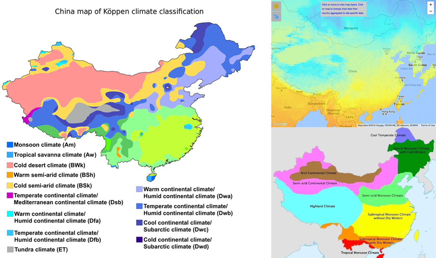
Mohe, by virtue of its far northern location and proximity to Siberia, is one of the few locations in China with a subarctic climate (Köppen Dwc),[3]) with long, severe winters, and short, warm summers.[4] Winter begins in early to mid-October and lasts until late April or early May, and temperatures then are normally the coldest nationwide. Average temperatures stay below freezing for a total of nearly seven months of the year, and the frost-free period is just short of 90 days; in addition, the diurnal temperature variation is large, averaging 17.2 °C (31.0 °F) annually. The monthly 24-hour average temperature ranges from −28.2 °C (−18.8 °F) in January to 18.3 °C (64.9 °F) in July, with an annual mean of −3.90 °C (25.0 °F), so that the city is only a little south of the line of continuous permafrost. Extreme temperatures have ranged from −52.3 °C (−62 °F)[5] to 39.3 °C (103 °F).[6]
| Climate data for Mohe (1981−2010 normals, extremes 1971−2010) | |||||||||||||
|---|---|---|---|---|---|---|---|---|---|---|---|---|---|
| Month | Jan | Feb | Mar | Apr | May | Jun | Jul | Aug | Sep | Oct | Nov | Dec | Year |
| Record high °C (°F) | −4.6 (23.7) |
5.5 (41.9) |
16.2 (61.2) |
28.4 (83.1) |
35.1 (95.2) |
39.3 (102.7) |
38.0 (100.4) |
35.5 (95.9) |
31.7 (89.1) |
25.1 (77.2) |
10.2 (50.4) |
−3.2 (26.2) |
39.3 (102.7) |
| Average high °C (°F) | −18.4 (−1.1) |
−11.4 (11.5) |
−2.6 (27.3) |
8.5 (47.3) |
17.7 (63.9) |
24.7 (76.5) |
26.0 (78.8) |
23.9 (75.0) |
16.8 (62.2) |
5.4 (41.7) |
−9.1 (15.6) |
−19.0 (−2.2) |
5.2 (41.4) |
| Daily mean °C (°F) | −28.2 (−18.8) |
−23.8 (−10.8) |
−13.1 (8.4) |
0.5 (32.9) |
9.2 (48.6) |
15.7 (60.3) |
18.3 (64.9) |
15.2 (59.4) |
7.4 (45.3) |
−2.7 (27.1) |
−17.9 (−0.2) |
−27.4 (−17.3) |
−3.9 (25.0) |
| Average low °C (°F) | −35.3 (−31.5) |
−32.8 (−27.0) |
−23.0 (−9.4) |
−7.8 (18.0) |
−0.3 (31.5) |
5.9 (42.6) |
10.6 (51.1) |
7.6 (45.7) |
−0.2 (31.6) |
−9.8 (14.4) |
−24.9 (−12.8) |
−33.6 (−28.5) |
−12.0 (10.5) |
| Record low °C (°F) | −49.6 (−57.3) |
−52.3 (−62.1) |
−42.7 (−44.9) |
−32.6 (−26.7) |
−13.1 (8.4) |
−5.3 (22.5) |
−1.4 (29.5) |
−3.0 (26.6) |
−12.2 (10.0) |
−28.7 (−19.7) |
−41.9 (−43.4) |
−48.5 (−55.3) |
−52.3 (−62.1) |
| Average precipitation mm (inches) | 7.4 (0.29) |
4.3 (0.17) |
6.1 (0.24) |
20.2 (0.80) |
35.5 (1.40) |
71.6 (2.82) |
97.0 (3.82) |
107.1 (4.22) |
55.3 (2.18) |
25.0 (0.98) |
13.8 (0.54) |
8.8 (0.35) |
452.1 (17.81) |
| Average precipitation days (≥ 0.1 mm) | 7.6 | 5.7 | 4.6 | 7.7 | 9.3 | 14.9 | 16.2 | 16.2 | 11.6 | 5.6 | 8.7 | 9.3 | 117.4 |
| Average relative humidity (%) | 71 | 67 | 63 | 56 | 56 | 70 | 79 | 81 | 75 | 70 | 73 | 72 | 69 |
| Source: China Meteorological Administration,[7] Weather China (precipitation days 1971−2000, all-time record low[6] | |||||||||||||
Transportation

Mohe railway station, opened in 1972, is the northernmost railway station in China. It has regular passenger service to Harbin, Qiqihar and Shenyang.[8]
Mohe Gulian Airport, opened 2008, is the nation's northernmost airport and the first Chinese airport built on permafrost.[9]
Notable people
In Popular Culture
- Mohe is the destination of both the main character and his fictional hero in Xiaolu Guo's film How Is Your Fish Today? (Jin tian de yu zen me yang?) (2006).
See also
- List of extreme points of China
Sources
- "National Bureau of Statistics". www.stats.gov.cn. Retrieved 2021-03-25.
- "A Visit to China's "Arctic Village"". ChinaCulture.org. January 7, 2013.
- "The 6 climate zones of China". ClimateList. Retrieved 2018-12-19.
- Krishna, K. R. (2015-01-28). Agricultural Prairies: Natural Resources and Crop Productivity. CRC Press. ISBN 9781482258066.
- "Climate". en.chinaculture.org. Retrieved 2018-12-19.
- Extreme Temperatures Around the World - world highest lowest temperatures. Accessed 2010-11-02
- 中国气象数据网 - WeatherBk Data (in Chinese (China)). China Meteorological Administration. Retrieved 2020-04-15.
- Mohe train schedule (in Chinese)
- 中国最北极机场漠河机场正式通航
External links
- Mohe People's Government website (in Chinese)
Heilongjiang topics | |
|---|---|
Harbin (capital) | |
| General |
|
| Geography | |
| Education |
|
| Visitor attractions |
|
| |
На других языках
- [en] Mohe City
[ru] Мохэ (Да-Хинган-Лин)
Мохэ́ (кит. упр. 漠河, пиньинь Mòhé) — городской уезд округа Да-Хинган-Лин провинции Хэйлунцзян (КНР).Другой контент может иметь иную лицензию. Перед использованием материалов сайта WikiSort.org внимательно изучите правила лицензирования конкретных элементов наполнения сайта.
WikiSort.org - проект по пересортировке и дополнению контента Википедии