world.wikisort.org - USA
Wayne Township is a township in Armstrong County, Pennsylvania, United States. The population was 1,296 at the 2020 census,[2] an increase from 1,200 at the 2010 census.[3]
Wayne Township, Armstrong County, Pennsylvania | |
|---|---|
Township | |
 Mahoning Creek Dam; Wayne Township is to the right | |
 Map of Armstrong County, Pennsylvania highlighting Wayne Township | |
 Map of Armstrong County, Pennsylvania | |
| Country | United States |
| State | Pennsylvania |
| County | Armstrong |
| Settled | 1800 |
| Incorporated | 1821 |
| Area | |
| • Total | 45.01 sq mi (116.58 km2) |
| • Land | 44.72 sq mi (115.82 km2) |
| • Water | 0.29 sq mi (0.76 km2) |
| Population (2020) | |
| • Total | 1,296 |
| • Estimate (2021)[2] | 1,287 |
| • Density | 25.49/sq mi (9.84/km2) |
| Time zone | UTC-5 (Eastern (EST)) |
| • Summer (DST) | UTC-4 (EDT) |
| FIPS code | 42-005-81720 |
Geography
Wayne Township is located in northeast Armstrong County, bordered to the east by Indiana County. Mahoning Creek forms part of its northern border. The township completely surrounds the borough of Dayton.
According to the United States Census Bureau, the township has a total area of 45.0 square miles (116.6 km2), of which 44.7 square miles (115.8 km2) is land and 0.31 square miles (0.8 km2), or 0.65%, is water.[3]
Demographics
| Historical population | |||
|---|---|---|---|
| Census | Pop. | %± | |
| 2010 | 1,200 | — | |
| 2020 | 1,296 | 8.0% | |
| 2021 (est.) | 1,287 | [2] | −0.7% |
| U.S. Decennial Census[4] | |||
As of the census[5] of 2000, there were 1,117 people, 404 households, and 319 families residing in the township. The population density was 25.0 people per square mile (9.7/km2). There were 462 housing units at an average density of 10.3/sq mi (4.0/km2). The racial makeup of the township was 99.28% White, and 0.72% from two or more races.
There were 404 households, out of which 30.4% had children under the age of 18 living with them, 67.8% were married couples living together, 6.7% had a female householder with no husband present, and 20.8% were non-families. 19.8% of all households were made up of individuals, and 10.9% had someone living alone who was 65 years of age or older. The average household size was 2.76 and the average family size was 3.12.
The township median age of 37 years was significantly less than the county median age of 40 years. The distribution by age group was 26.3% under the age of 18, 7.0% from 18 to 24, 27.2% from 25 to 44, 23.8% from 45 to 64, and 15.7% who were 65 years of age or older. The median age was 37 years. For every 100 females there were 103.5 males. For every 100 females age 18 and over, there were 102.7 males.
The median income for a household in the township was $31,071, and the median income for a family was $33,882. Males had a median income of $29,125 versus $19,219 for females. The per capita income for the township was $13,969. About 8.6% of families and 12.8% of the population were below the poverty line, including 21.3% of those under age 18 and 4.9% of those age 65 or over.
History
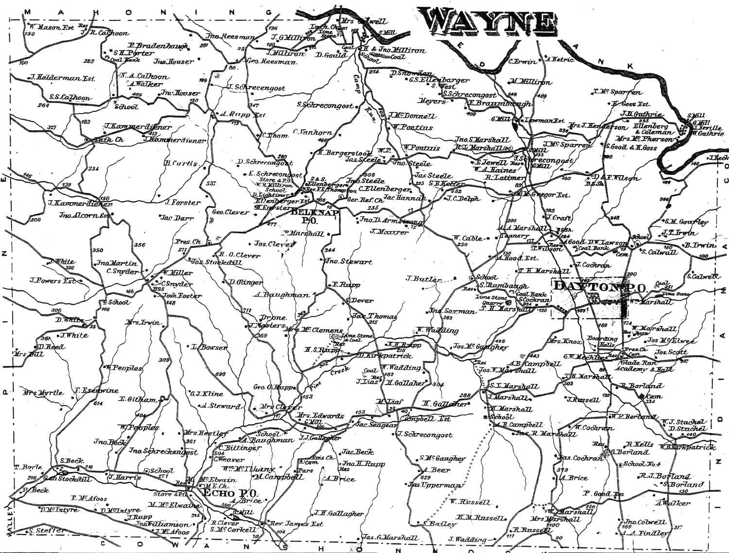
Wayne Township appears in the 1876 Atlas of Armstrong County, Pennsylvania.[6] Its early history is detailed in Robert Walter Smith's 1883 History of Armstrong County.[7]
Cemeteries
- Belknap Cemetery[8]
- Concord Presbyterian Church Cemetery[9]
- Dayton Glade Run Cemetery[10]
- Echo Methodist Episcopal Church / White Cemetery[11]
- Jerusalem Cemetery[12]
- McCreas Furnace Cemetery[13]
- Milliron Family Cemetery[14]
- Milton Cemetery[15]
- Saint Michaels Episcopal Cemetery[16]
References
- "2016 U.S. Gazetteer Files". United States Census Bureau. Retrieved Aug 13, 2017.
- Bureau, US Census. "City and Town Population Totals: 2020-2021". Census.gov. US Census Bureau. Retrieved 29 June 2022.
- "Geographic Identifiers: 2010 Demographic Profile Data (G001): Wayne township, Armstrong County, Pennsylvania". U.S. Census Bureau, American Factfinder. Archived from the original on February 10, 2020. Retrieved August 2, 2013.
- "Census of Population and Housing". Census.gov. Retrieved June 4, 2016.
- "U.S. Census website". United States Census Bureau. Retrieved 2008-01-31.
- "Atlas of Armstrong County Pennsylvania, page 83". Pomeroy, Whitman & Co. 1876. Retrieved 9 November 2018.
- Robert Walter Smith (1883). "History of Armstrong County Pennsylvania, Chapter 9, page 214". Chicago: Waterman, Watkins. Retrieved 7 November 2018.
- "Belknap Cemetery". Geographic Names Information System. United States Geological Survey, United States Department of the Interior.
- "Concord Presbyterian Church Cemetery". Geographic Names Information System. United States Geological Survey, United States Department of the Interior.
- "Dayton Glade Run Cemetery". Geographic Names Information System. United States Geological Survey, United States Department of the Interior.
- "Echo Methodist Episcopal Church / White Cemetery". Geographic Names Information System. United States Geological Survey, United States Department of the Interior.
- "Jerusalem Cemetery". Geographic Names Information System. United States Geological Survey, United States Department of the Interior.
- "McCreas Furnace Cemetery". Geographic Names Information System. United States Geological Survey, United States Department of the Interior.
- "Milliron Family Cemetery". Geographic Names Information System. United States Geological Survey, United States Department of the Interior.
- "Milton Cemetery". Geographic Names Information System. United States Geological Survey, United States Department of the Interior.
- "Saint Michaels Episcopal Cemetery". Geographic Names Information System. United States Geological Survey, United States Department of the Interior.
Municipalities and communities of Armstrong County, Pennsylvania, United States | ||
|---|---|---|
County seat: Kittanning | ||
| City |  | |
| Boroughs | ||
| Townships | ||
| CDPs | ||
| Unincorporated communities |
| |
| ||
Greater Pittsburgh | ||
|---|---|---|
Pittsburgh–New Castle–Weirton combined statistical area | ||
| Counties |  | |
| Major cities |
| |
| Cities and towns 15k–50k (in 2010) |
| |
| Airports | ||
| Topics |
| |
| ||
Другой контент может иметь иную лицензию. Перед использованием материалов сайта WikiSort.org внимательно изучите правила лицензирования конкретных элементов наполнения сайта.
WikiSort.org - проект по пересортировке и дополнению контента Википедии