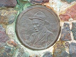
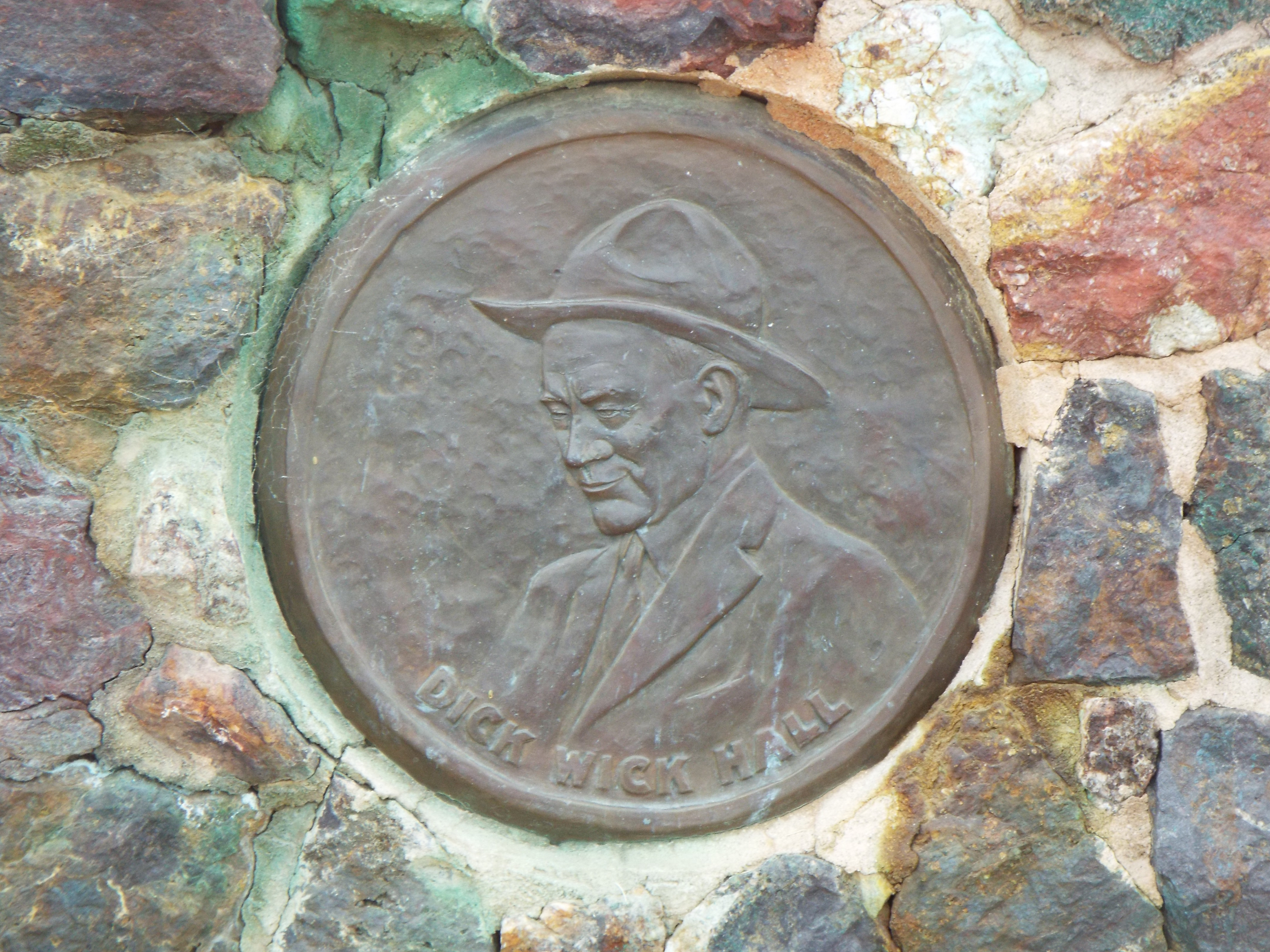
Salome (locally /səˈloʊm/, Tolkepaya Yavapai: Wiltaika) is an unincorporated community and census-designated place (CDP) in La Paz County, Arizona, United States. The population was 1,530 at the 2010 census.[2] It was established in 1904 by Dick Wick Hall, Ernest Hall and Charles Pratt, and was named after Pratt's wife, Grace Salome Pratt.[3]
Salome is located in eastern La Paz County at 33°45′49″N113°36′31″W (33.763728, -113.608555).[4] U.S. Route 60 runs through the community, leading east 54 miles (87km) to Wickenburg and west 25 miles (40km) to Interstate 10 between Brenda and Quartzsite.
According to the United States Census Bureau, the Salome CDP has a total area of 33.3 square miles (86.3km2), all land.[2]
Southwest of central Salome is Harcuvar, (Mohave name implying 'there is little sweet water') which has a Kampgrounds of America and RV park.
As of the census[6] of 2000, there were 1,690 people, 780 households, and 502 families residing in the CDP. The population density was 61.6 inhabitants per square mile (23.8/km2). There were 1,176 housing units at an average density of 42.9 per square mile (16.6/km2). The racial makeup of the CDP was 91.1% White, 0.3% Black or African American, 2.7% Native American, 0.3% Asian, 0.2% Pacific Islander, 3.1% from other races, and 2.3% from two or more races. 18.5% of the population were Hispanic or Latino of any race.
There were 780 households, out of which 16.3% had children under the age of 18 living with them, 57.4% were married couples living together, 3.5% had a female householder with no husband present, and 35.6% were non-families. 28.3% of all households were made up of individuals, and 15.6% had someone living alone who was 65 years of age or older. The average household size was 2.2 and the average family size was 2.6.
In the CDP, the population was spread out, with 17.3% under the age of 18, 3.6% from 18 to 24, 15.9% from 25 to 44, 29.3% from 45 to 64, and 33.8% who were 65 years of age or older. The median age was 57 years. For every 100 females, there were 109.4 males. For every 100 females age 18 and over, there were 109.8 males.
The median income for a household in the CDP was $22,866, and the median income for a family was $24,805. Males had a median income of $23,500 versus $21,786 for females. The per capita income for the CDP was $12,872. About 16.7% of families and 23.3% of the population were below the poverty line, including 32.4% of those under age 18 and 16.1% of those age 65 or over.
Gallery
Part of a series of the
Cities, towns and CDPs in Arizona with lists and images of historic properties, forts, cemeteries or historic districts
Varney, Philip (1980). "Three: Ghosts of Central-Western Arizona • The Hot Ones". Arizona's Best Ghost Towns. Flagstaff: Northland Press. pp.35–36. ISBN0873582179. LCCN79-91724.
Другой контент может иметь иную лицензию. Перед использованием материалов сайта WikiSort.org внимательно изучите правила лицензирования конкретных элементов наполнения сайта.
2019-2026 WikiSort.org - проект по пересортировке и дополнению контента Википедии
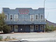 Salome Hotel
 Abandoned stage stop
 Oasis Cafe
 Salome Santa Fe Depot warehouse
 Dick Wick Hall's grave
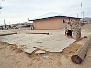 Dick Wick Hall house ruins
 "Where She Danced" building
 "Where She Danced" building wall
 Justice Court
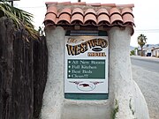 Westward Motel
 Westward Motel
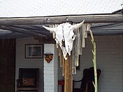 Westward Motel
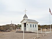 Little Roadside Chapel
 9-11 Memorial
 Piece of Steel from the World Trade Towers