world.wikisort.org - USA
Jefferson County is a county located in the U.S. state of Georgia. As of the 2010 census, the population was 16,930.[1] The county seat is Louisville.[2] The county was created on February 20, 1796, and named for Thomas Jefferson, the main author of the Declaration of Independence who became the third president of the United States.[3]
Jefferson County | |
|---|---|
U.S. county | |
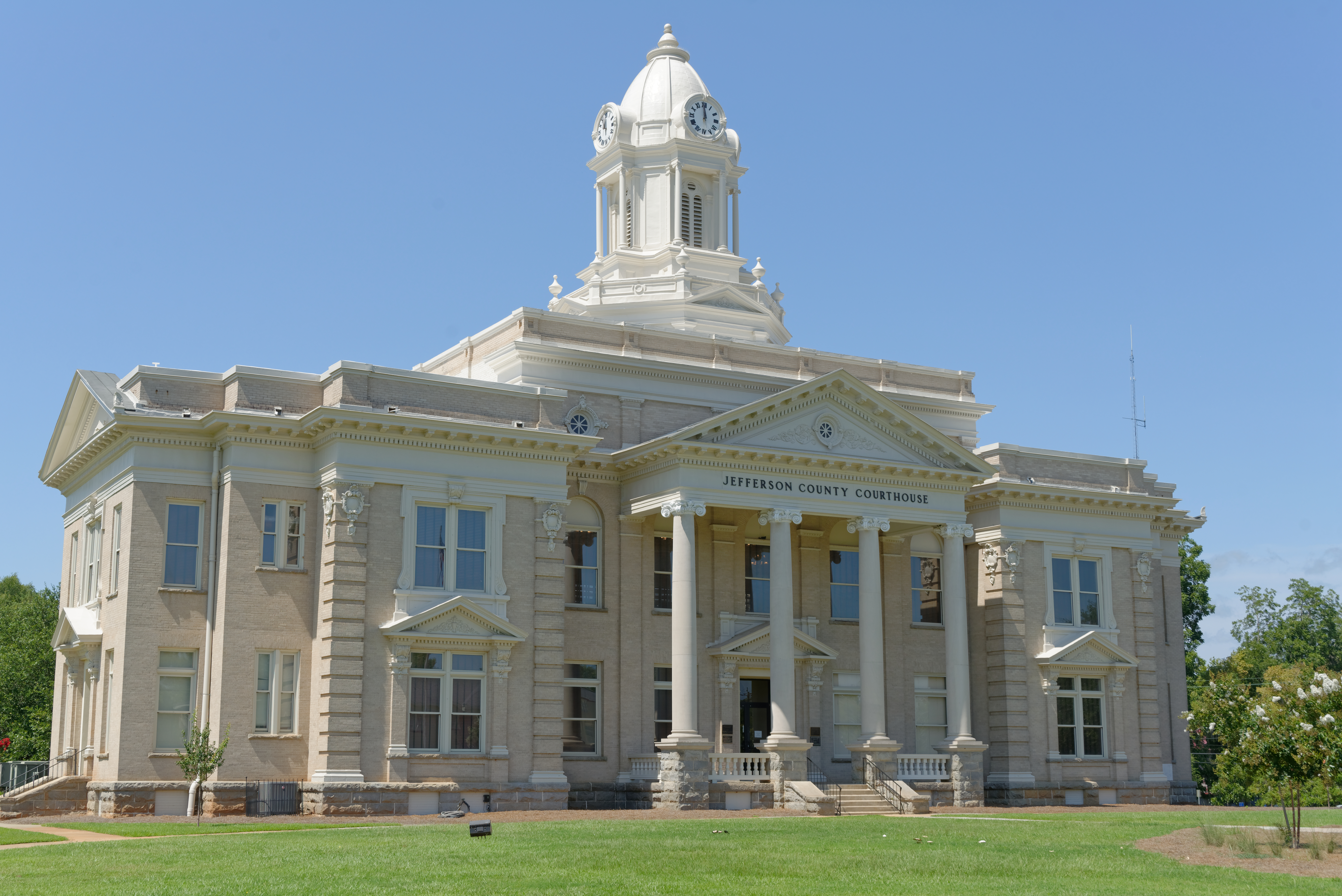 County courthouse in Louisville | |
 Location within the U.S. state of Georgia | |
 Georgia's location within the U.S. | |
| Coordinates: 33°03′N 82°25′W | |
| Country | |
| State | |
| Founded | February 20, 1796 |
| Named for | Thomas Jefferson |
| Seat | Louisville |
| Largest city | Wadley |
| Area | |
| • Total | 530 sq mi (1,400 km2) |
| • Land | 526 sq mi (1,360 km2) |
| • Water | 3.2 sq mi (8 km2) 0.6%% |
| Population | |
| • Estimate (2018) | 15,430 |
| • Density | 32/sq mi (12/km2) |
| Time zone | UTC−5 (Eastern) |
| • Summer (DST) | UTC−4 (EDT) |
| Congressional district | 10th |
| Website | Jefferson County, Georgia |
Geography
According to the U.S. Census Bureau, the county has a total area of 530 square miles (1,400 km2), of which 526 square miles (1,360 km2) is land and 3.2 square miles (8.3 km2) (0.6%) is water.[4]
The small northern portion of Jefferson County, defined by a line running from Stapleton southeast and just south of State Route 80, is located in the Brier Creek sub-basin of the Savannah River basin. The entire rest of the county is located in the Upper Ogeechee River sub-basin of the Ogeechee River basin.[5]
Major highways
 U.S. Route 1
 U.S. Route 1 Business (Louisville)
- U.S. Route 1 Business (Wadley)
 U.S. Route 221
 U.S. Route 319
 State Route 4
 State Route 4 Business (Louisville)
- State Route 4 Business (Wadley)
 State Route 17
 State Route 24
 State Route 47
 State Route 78
 State Route 80
 State Route 88
 State Route 102
 State Route 171
 State Route 242
 State Route 296
 State Route 540 (Fall Line Freeway)
Adjacent counties
- McDuffie County - north
- Richmond County - northeast
- Burke County - east
- Emanuel County - south
- Johnson County - southwest
- Glascock County - northwest
- Washington County - west
- Warren County - northwest
Demographics
| Historical population | |||
|---|---|---|---|
| Census | Pop. | %± | |
| 1800 | 5,684 | — | |
| 1810 | 6,111 | 7.5% | |
| 1820 | 7,056 | 15.5% | |
| 1830 | 7,309 | 3.6% | |
| 1840 | 7,254 | −0.8% | |
| 1850 | 9,131 | 25.9% | |
| 1860 | 10,219 | 11.9% | |
| 1870 | 12,190 | 19.3% | |
| 1880 | 15,671 | 28.6% | |
| 1890 | 17,213 | 9.8% | |
| 1900 | 18,212 | 5.8% | |
| 1910 | 21,379 | 17.4% | |
| 1920 | 22,602 | 5.7% | |
| 1930 | 20,727 | −8.3% | |
| 1940 | 20,040 | −3.3% | |
| 1950 | 18,855 | −5.9% | |
| 1960 | 17,468 | −7.4% | |
| 1970 | 17,174 | −1.7% | |
| 1980 | 18,403 | 7.2% | |
| 1990 | 17,408 | −5.4% | |
| 2000 | 17,266 | −0.8% | |
| 2010 | 16,930 | −1.9% | |
| 2018 (est.) | 15,430 | [6] | −8.9% |
| U.S. Decennial Census[7] 1790-1960[8] 1900-1990[9] 1990-2000[10] 2010-2013[1] | |||
2020 census
| Race | Num. | Perc. |
|---|---|---|
| White (non-Hispanic) | 6,834 | 43.5% |
| Black or African American (non-Hispanic) | 7,970 | 50.74% |
| Native American | 21 | 0.13% |
| Asian | 70 | 0.45% |
| Other/Mixed | 352 | 2.24% |
| Hispanic or Latino | 462 | 2.94% |
As of the 2020 United States census, there were 15,709 people, 5,664 households, and 3,598 families residing in the county.
2010 census
As of the 2010 United States Census, there were 16,930 people, 6,241 households, and 4,407 families residing in the county.[12] The population density was 32.2 inhabitants per square mile (12.4/km2). There were 7,298 housing units at an average density of 13.9 per square mile (5.4/km2).[13] The racial makeup of the county was 54.4% black or African American, 42.6% white, 0.4% Asian, 0.1% American Indian, 1.6% from other races, and 0.9% from two or more races. Those of Hispanic or Latino origin made up 3.1% of the population.[12] In terms of ancestry, and 26.7% were American.[14]
Of the 6,241 households, 36.0% had children under the age of 18 living with them, 41.9% were married couples living together, 23.4% had a female householder with no husband present, 29.4% were non-families, and 26.0% of all households were made up of individuals. The average household size was 2.63 and the average family size was 3.16. The median age was 38.8 years.[12]
The median income for a household in the county was $29,268 and the median income for a family was $36,980. Males had a median income of $36,284 versus $27,191 for females. The per capita income for the county was $15,165. About 19.0% of families and 26.9% of the population were below the poverty line, including 40.7% of those under age 18 and 24.8% of those age 65 or over.[15]
Education
Communities
Cities
- Avera
- Louisville (county seat)
- Stapleton
- Wadley
- Wrens
Towns
Politics
| Year | Republican | Democratic | Third party | |||
|---|---|---|---|---|---|---|
| No. | % | No. | % | No. | % | |
| 2020 | 3,537 | 46.30% | 4,058 | 53.12% | 44 | 0.58% |
| 2016 | 3,063 | 43.96% | 3,821 | 54.84% | 84 | 1.21% |
| 2012 | 2,999 | 41.08% | 4,261 | 58.36% | 41 | 0.56% |
| 2008 | 3,061 | 42.31% | 4,149 | 57.35% | 25 | 0.35% |
| 2004 | 3,066 | 46.89% | 3,447 | 52.71% | 26 | 0.40% |
| 2000 | 2,559 | 45.98% | 2,973 | 53.41% | 34 | 0.61% |
| 1996 | 2,077 | 35.86% | 3,404 | 58.77% | 311 | 5.37% |
| 1992 | 2,077 | 34.68% | 3,220 | 53.77% | 692 | 11.55% |
| 1988 | 2,788 | 54.13% | 2,346 | 45.54% | 17 | 0.33% |
| 1984 | 2,999 | 51.57% | 2,816 | 48.43% | 0 | 0.00% |
| 1980 | 1,605 | 32.24% | 3,305 | 66.39% | 68 | 1.37% |
| 1976 | 1,309 | 29.59% | 3,115 | 70.41% | 0 | 0.00% |
| 1972 | 2,777 | 70.11% | 1,184 | 29.89% | 0 | 0.00% |
| 1968 | 1,227 | 23.51% | 1,901 | 36.43% | 2,090 | 40.05% |
| 1964 | 2,950 | 70.15% | 1,253 | 29.80% | 2 | 0.05% |
| 1960 | 986 | 43.71% | 1,270 | 56.29% | 0 | 0.00% |
| 1956 | 512 | 27.48% | 1,351 | 72.52% | 0 | 0.00% |
| 1952 | 744 | 33.51% | 1,476 | 66.49% | 0 | 0.00% |
| 1948 | 137 | 7.98% | 544 | 31.70% | 1,035 | 60.31% |
| 1944 | 274 | 20.80% | 1,043 | 79.20% | 0 | 0.00% |
| 1940 | 171 | 13.72% | 1,068 | 85.71% | 7 | 0.56% |
| 1936 | 168 | 11.85% | 1,238 | 87.31% | 12 | 0.85% |
| 1932 | 65 | 4.23% | 1,454 | 94.66% | 17 | 1.11% |
| 1928 | 1,057 | 56.98% | 798 | 43.02% | 0 | 0.00% |
| 1924 | 103 | 15.10% | 502 | 73.61% | 77 | 11.29% |
| 1920 | 82 | 8.92% | 837 | 91.08% | 0 | 0.00% |
| 1916 | 145 | 18.22% | 588 | 73.87% | 63 | 7.91% |
| 1912 | 415 | 30.54% | 899 | 66.15% | 45 | 3.31% |
See also
- Central Savannah River Area
- National Register of Historic Places listings in Jefferson County, Georgia
References
- "State & County QuickFacts". United States Census Bureau. Archived from the original on June 7, 2011. Retrieved June 23, 2014.
- "Find a County". National Association of Counties. Archived from the original on May 31, 2011. Retrieved June 7, 2011.
- Gannett, Henry (1905). The Origin of Certain Place Names in the United States. Govt. Print. Off. pp. 168.
- "US Gazetteer files: 2010, 2000, and 1990". United States Census Bureau. February 12, 2011. Retrieved April 23, 2011.
- "Georgia Soil and Water Conservation Commission Interactive Mapping Experience". Georgia Soil and Water Conservation Commission. Retrieved November 20, 2015.
- "Population and Housing Unit Estimates". Retrieved July 31, 2019.
- "U.S. Decennial Census". United States Census Bureau. Retrieved June 23, 2014.
- "Historical Census Browser". University of Virginia Library. Retrieved June 23, 2014.
- "Population of Counties by Decennial Census: 1900 to 1990". United States Census Bureau. Retrieved June 23, 2014.
- "Census 2000 PHC-T-4. Ranking Tables for Counties: 1990 and 2000" (PDF). United States Census Bureau. Retrieved June 23, 2014.
- "Explore Census Data". data.census.gov. Retrieved December 15, 2021.
- "DP-1 Profile of General Population and Housing Characteristics: 2010 Demographic Profile Data". United States Census Bureau. Archived from the original on February 13, 2020. Retrieved December 30, 2015.
- "Population, Housing Units, Area, and Density: 2010 - County". United States Census Bureau. Archived from the original on February 13, 2020. Retrieved December 30, 2015.
- "DP02 SELECTED SOCIAL CHARACTERISTICS IN THE UNITED STATES – 2006-2010 American Community Survey 5-Year Estimates". United States Census Bureau. Archived from the original on February 13, 2020. Retrieved December 30, 2015.
- "DP03 SELECTED ECONOMIC CHARACTERISTICS – 2006-2010 American Community Survey 5-Year Estimates". United States Census Bureau. Archived from the original on February 13, 2020. Retrieved December 30, 2015.
- Leip, David. "Dave Leip's Atlas of U.S. Presidential Elections". uselectionatlas.org. Retrieved March 20, 2018.
External links
- The Jefferson County Information Center Website
- The Friends of Historic Downtown Louisville Website
- The Fire House Gallery Website - Contemporary art in Jefferson County
- Videos about life in Jefferson County by Fire Team Productions
- A genealogy table for Jefferson County, Georgia ←Broken link, December 2015.
- USA Today Q&A with Jefferson County High principal Molly Howard
- The News and Farmer and Wadley Herald/ Jefferson Reporter, the county's weekly newspaper and the oldest weekly in Georgia
- The Official Jefferson County Economic Development Website
- General Wood's Fort historical marker
- Old Savannah Road historical marker
- Old Town Plantation historical marker
- Rocky Comfort Creek historical marker
- Yazoo Fraud historical marker
Places adjacent to Jefferson County, Georgia | ||||||||||||||||
|---|---|---|---|---|---|---|---|---|---|---|---|---|---|---|---|---|
| ||||||||||||||||
Municipalities and communities of Jefferson County, Georgia, United States | ||
|---|---|---|
County seat: Louisville | ||
| Cities |  | |
| Town | ||
| CDP | ||
| Unincorporated communities |
| |
| Footnotes | ‡This populated place also has portions in an adjacent county or counties | |
| ||
Atlanta (capital) | |
| Topics |
|
| Society |
|
| Regions |
|
| Largest cities |
|
| Counties |
|
| |
Authority control | |
|---|---|
| General | |
| National libraries | |
| Other | |
На других языках
[de] Jefferson County (Georgia)
Das Jefferson County[1] ist ein County im Bundesstaat Georgia der Vereinigten Staaten. Der Verwaltungssitz (County Seat) ist Louisville, das nach dem französischen König Louis XVI. benannt wurde.- [en] Jefferson County, Georgia
[ru] Джефферсон (округ, Джорджия)
Дже́фферсон[1] (англ. Jefferson County) — округ штата Джорджия, США. Население округа на 2000 год составляло 17266 человек. Административный центр округа — город Люисвилл.Другой контент может иметь иную лицензию. Перед использованием материалов сайта WikiSort.org внимательно изучите правила лицензирования конкретных элементов наполнения сайта.
WikiSort.org - проект по пересортировке и дополнению контента Википедии