world.wikisort.org - USA
Cando (/ˈkænduː/ KAN-doo) is a city in Towner County, North Dakota, United States. It is the county seat of Towner County.[3] The population was 1,117 at the 2020 census.[4] Cando was founded in 1884.
Cando, North Dakota | |
|---|---|
City | |
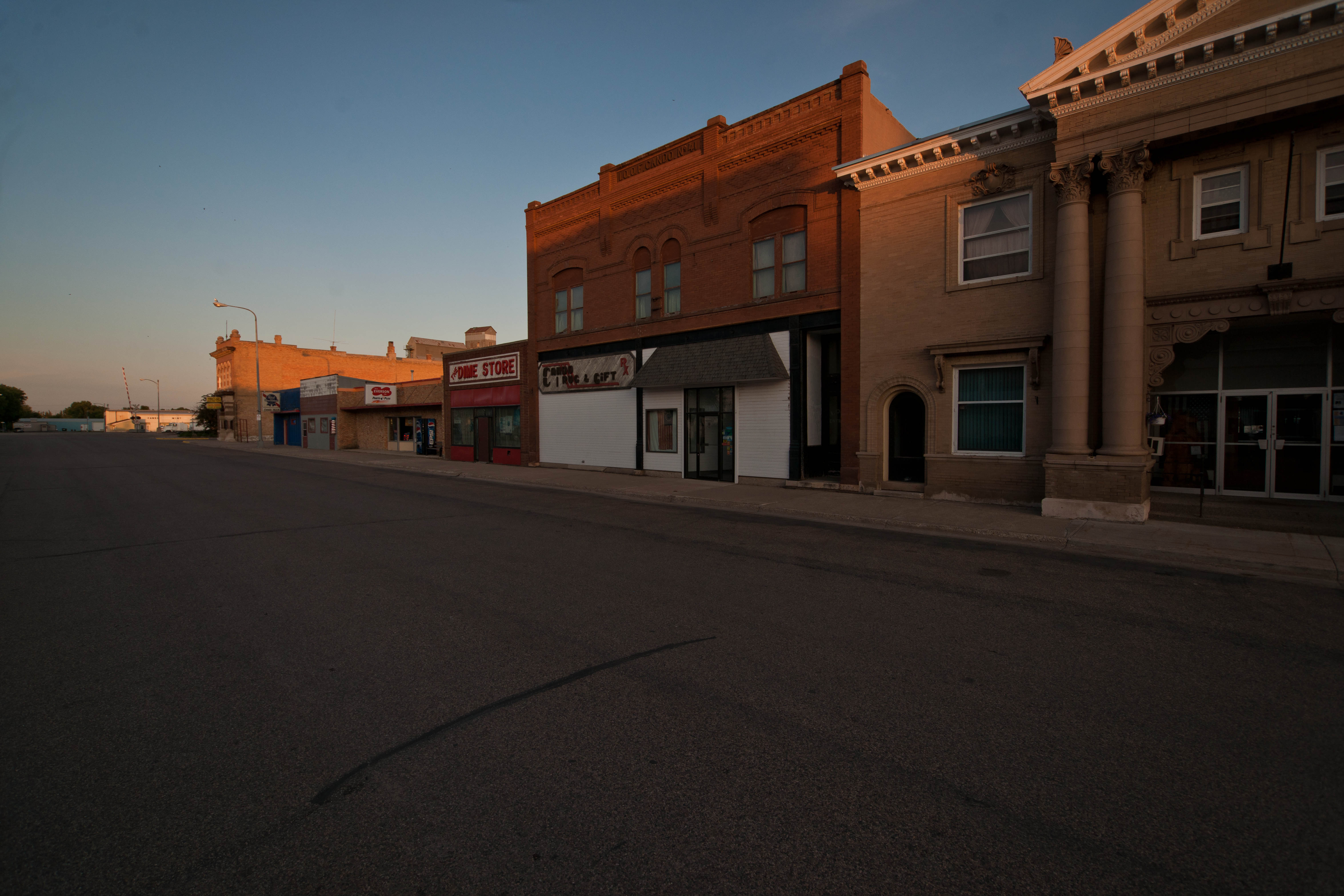 Business district in Cando | |
| Motto: "Duck Hunting Capital Of North Dakota" | |
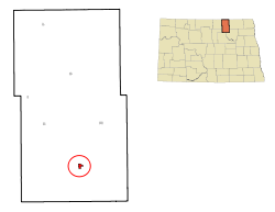 Location of Cando, North Dakota | |
| Coordinates: 48°29′19″N 99°12′16″W | |
| Country | United States |
| State | North Dakota |
| County | Towner |
| Founded | 1884 |
| Government | |
| • Mayor | Rollie Bjornstad |
| Area | |
| • Total | 0.64 sq mi (1.66 km2) |
| • Land | 0.64 sq mi (1.66 km2) |
| • Water | 0.00 sq mi (0.00 km2) |
| Elevation | 1,476 ft (450 m) |
| Population (2020) | |
| • Total | 1,117 |
| • Density | 1,739.88/sq mi (671.75/km2) |
| Time zone | UTC-6 (CST) |
| • Summer (DST) | UTC-5 (CDT) |
| ZIP code | 58324 |
| Area code | 701 |
| FIPS code | 38-11860 |
| GNIS feature ID | 1028267[2] |
| Highways | US 281, ND 17 |
| Website | candond.com |
History
Cando was founded in 1884 as the seat of the newly formed Towner County.[5] It was named from the pioneers' "can do" spirit.[6] The Great Northern Railway was extended to Cando in 1888.[5] The Towner County Courthouse was built in 1898.
Just west of Cando, Dunkers Colony was founded by settlers from Indiana in 1894. The settlement later changed its name to Zion, and all that is left today is a cemetery west of Cando.[7]
Geography
Cando is located at 48°29′19″N 99°12′16″W.[8]
According to the United States Census Bureau, the city has a total area of 0.63 square miles (1.63 km2), all land.[9]
Demographics
| Historical population | |||
|---|---|---|---|
| Census | Pop. | %± | |
| 1890 | 200 | — | |
| 1900 | 1,061 | 430.5% | |
| 1910 | 1,332 | 25.5% | |
| 1920 | 1,111 | −16.6% | |
| 1930 | 1,164 | 4.8% | |
| 1940 | 1,282 | 10.1% | |
| 1950 | 1,530 | 19.3% | |
| 1960 | 1,566 | 2.4% | |
| 1970 | 1,512 | −3.4% | |
| 1980 | 1,496 | −1.1% | |
| 1990 | 1,564 | 4.5% | |
| 2000 | 1,342 | −14.2% | |
| 2010 | 1,115 | −16.9% | |
| 2020 | 1,117 | 0.2% | |
| 2021 (est.) | 1,105 | [10] | −1.1% |
| U.S. Decennial Census[11] 2020 Census[4] | |||
2010 census
As of the census of 2010, there were 1,115 people, 518 households, and 309 families living in the city. The population density was 1,769.8 inhabitants per square mile (683.3/km2). There were 701 housing units at an average density of 1,112.7 per square mile (429.6/km2). The racial makeup of the city was 96.1% White, 0.2% African American, 2.3% Native American, 0.2% from other races, and 1.3% from two or more races. Hispanic or Latino of any race were 0.5% of the population.
There were 518 households, of which 24.5% had children under the age of 18 living with them, 46.3% were married couples living together, 9.7% had a female householder with no husband present, 3.7% had a male householder with no wife present, and 40.3% were non-families. 38.0% of all households were made up of individuals, and 22.2% had someone living alone who was 65 years of age or older. The average household size was 2.08 and the average family size was 2.69.
The median age in the city was 49.3 years. 20.3% of residents were under the age of 18; 6% were between the ages of 18 and 24; 16.7% were from 25 to 44; 31.1% were from 45 to 64; and 25.7% were 65 years of age or older. The gender makeup of the city was 48.0% male and 52.0% female.
2000 census
As of the census of 2000, there were 1,342 people, 595 households, and 345 families living in the city. The population density was 2,178.3 people per square mile (835.7/km2). There were 707 housing units at an average density of 1,147.6 per square mile (440.3/km2). The racial makeup of the city was 97.24% White, 0.07% African American, 2.16% Native American, 0.15% Asian, and 0.37% from two or more races. Hispanic or Latino of any race were 0.15% of the population.
There were 595 households, out of which 25.9% had children under the age of 18 living with them, 49.7% were married couples living together, 5.4% had a female householder with no husband present, and 42.0% were non-families. 40.2% of all households were made up of individuals, and 24.4% had someone living alone who was 65 years of age or older. The average household size was 2.15 and the average family size was 2.88.
In the city, the population was spread out, with 23.7% under the age of 18, 2.5% from 18 to 24, 23.8% from 25 to 44, 23.3% from 45 to 64, and 26.8% who were 65 years of age or older. The median age was 45 years. For every 100 females, there were 88.5 males. For every 100 females age 18 and over, there were 82.9 males.
The median income for a household in the city was $31,989, and the median income for a family was $43,571. Males had a median income of $28,421 versus $17,308 for females. The per capita income for the city was $19,128. About 6.5% of families and 9.7% of the population were below the poverty line, including 9.5% of those under age 18 and 14.3% of those age 65 or over.
Education
Its school district is North Star Schools.[12] It was in the Cando School District until 2008, when it merged with Bisbee-Egeland School District into North Star.[13]
Notable people
- Dick Armey, U.S. Congressman; House Majority Leader
- Dave Osborn, running back for the Minnesota Vikings[14]
- Fountain L. Thompson, U.S. Senator, lived in Cando
Climate
This climatic region is typified by large seasonal temperature differences, with warm to hot (and often humid) summers and cold (sometimes severely cold) winters. According to the Köppen Climate Classification system, Cando has a humid continental climate, abbreviated "Dfb" on climate maps.[15]
References
- "ArcGIS REST Services Directory". United States Census Bureau. Retrieved September 20, 2022.
- "US Board on Geographic Names". United States Geological Survey. October 25, 2007. Retrieved January 31, 2008.
- "Find a County". National Association of Counties. Archived from the original on May 31, 2011. Retrieved June 7, 2011.
- "Explore Census Data". United States Census Bureau. Retrieved May 24, 2022.
- Hellmann, Paul T. (May 13, 2013). Historical Gazetteer of the United States. Routledge. p. 833. ISBN 978-1135948597. Retrieved November 30, 2013.
- "Homepage". City of Cando, North Dakota. Retrieved June 19, 2014.
- Jackson, William (2021). Dakota Mysteries & Oddities, 2022 Edition. Dickinson, ND: Valley Star Publisher. p. 18. ISBN 978-0-9677349-9-6.
- "US Gazetteer files: 2010, 2000, and 1990". United States Census Bureau. February 12, 2011. Retrieved April 23, 2011.
- "US Gazetteer files 2010". United States Census Bureau. Archived from the original on July 2, 2012. Retrieved June 14, 2012.
- "City and Town Population Totals: 2020-2021". United States Census Bureau. July 12, 2022. Retrieved July 12, 2022.
- United States Census Bureau. "Census of Population and Housing". Retrieved August 30, 2013.
- "2020 CENSUS - SCHOOL DISTRICT REFERENCE MAP: Towner County, ND" (PDF). United States Census Bureau. Retrieved August 25, 2021.
- "Voters approve merging schools". Bismarck Tribune. Bismarck, North Dakota. October 31, 2007. Retrieved August 25, 2021.
- "Dave Osborn Past Stats, Statistics, History, and Awards - databaseFootball.com". Archived from the original on July 28, 2013. Retrieved November 7, 2013.
- Climate Summary for Cando, North Dakota
External links
- City of Cando official website
- Cando, North Dakota: a history of its people and events (1984) from the Digital Horizons website
Municipalities and communities of Towner County, North Dakota, United States | ||
|---|---|---|
County seat: Cando | ||
| Cities |  | |
| Townships |
| |
| Unincorporated communities |
| |
| Footnotes | ‡This populated place also has portions in an adjacent county or counties | |
| ||
State of North Dakota | |
|---|---|
Bismarck (capital) | |
| Topics |
|
| Society |
|
| Regions |
|
| Larger cities pop. over 5,000 |
|
| Smaller cities pop. 1,000–5,000 |
|
| Counties |
|
Authority control | |
|---|---|
| General | |
| National libraries | |
Другой контент может иметь иную лицензию. Перед использованием материалов сайта WikiSort.org внимательно изучите правила лицензирования конкретных элементов наполнения сайта.
WikiSort.org - проект по пересортировке и дополнению контента Википедии