world.wikisort.org - USA
Buffalo is a town in Putnam County, West Virginia, located along the Kanawha River. The population was 1,211 at the time of the 2020 census[2].[5] Buffalo is a part of the Huntington–Ashland metropolitan area.[6]
Buffalo West Virginia | |
|---|---|
Town | |
| Buffalo, West Virginia | |
 Location of Buffalo in Putnam County, West Virginia. | |
| Coordinates: 38°37′1″N 81°58′48″W | |
| Country | United States |
| State | West Virginia |
| County | Putnam |
| Government | |
| • Mayor | Conrad Cain |
| Area | |
| • Total | 1.65 sq mi (4.26 km2) |
| • Land | 1.40 sq mi (3.63 km2) |
| • Water | 0.25 sq mi (0.64 km2) |
| Elevation | 568 ft (173 m) |
| Population (2020)[2] | |
| • Total | 1,211 |
| • Estimate (2021)[2] | 1,208 |
| • Density | 900.00/sq mi (347.52/km2) |
| Time zone | UTC-5 (Eastern (EST)) |
| • Summer (DST) | UTC-4 (EDT) |
| ZIP code | 25033 |
| Area code | 304 |
| FIPS code | 54-11284[3] |
| GNIS feature ID | 1536615[4] |
| Website | buffalo |
History
Along with numerous sites in the Kanawha River Valley, Buffalo was originally settled by waves of ancient cultures of prehistoric indigenous peoples. Clovis points indicate the presence of inhabitants more than 10,000 years ago. One of the last cultures, that of the Fort Ancient people, had a few villages such as Buffalo and Marmet that survived into the time of European exploration.
Historic tribes such as the Huron, from the Great Lakes region, and the Conoy (also spelled Conois and Kanawha) were driven out of the central valley by Iroquois' invading from their base in present-day Western New York. Many of the Conoy by the early-17th century had resettled on the west side of the Chesapeake Bay and below the Potomac River. After decades of encroachment by English colonists, surviving Conoy (also called Piscataway by then) went north to Pennsylvania and allied with the Susquehannock and Iroquois.[7]
The town was named after the American buffalo which once roamed here.[8]
Geography
Buffalo is located at 38°37′1″N 81°58′48″W (38.616994, -81.979938).[9]
According to the United States Census Bureau, the town has a total area of 1.65 square miles (4.27 km2), of which 1.40 square miles (3.63 km2) is land and 0.25 square miles (0.65 km2) is water.[10]
Demographics
| Historical population | |||
|---|---|---|---|
| Census | Pop. | %± | |
| 1860 | 268 | — | |
| 1870 | 321 | 19.8% | |
| 1880 | 351 | 9.3% | |
| 1890 | 238 | −32.2% | |
| 1900 | 364 | 52.9% | |
| 1910 | 384 | 5.5% | |
| 1920 | 300 | −21.9% | |
| 1930 | 316 | 5.3% | |
| 1940 | 338 | 7.0% | |
| 1950 | 333 | −1.5% | |
| 1960 | 396 | 18.9% | |
| 1970 | 831 | 109.8% | |
| 1980 | 1,034 | 24.4% | |
| 1990 | 969 | −6.3% | |
| 2000 | 1,171 | 20.8% | |
| 2010 | 1,236 | 5.6% | |
| 2020 | 1,211 | −2.0% | |
| 2021 (est.) | 1,208 | [2] | −0.2% |
| Source:[11] | |||
2010 census
As of the census[12] of 2010, there were 1,236 people, 518 households, and 344 families living in the town. The population density was 882.9 inhabitants per square mile (340.9/km2). There were 568 housing units at an average density of 405.7 per square mile (156.6/km2). The racial makeup of the town was 97.4% White, 0.5% African American, 0.2% Native American, 0.4% Asian, 0.4% from other races, and 1.1% from two or more races. Hispanic or Latino of any race were 0.7% of the population.
There were 518 households, of which 28.4% had children under the age of 18 living with them, 51.2% were married couples living together, 9.8% had a female householder with no husband present, 5.4% had a male householder with no wife present, and 33.6% were non-families. 28.2% of all households were made up of individuals, and 12.8% had someone living alone who was 65 years of age or older. The average household size was 2.36 and the average family size was 2.89.
The median age in the town was 42.8 years. 21% of residents were under the age of 18; 8.1% were between the ages of 18 and 24; 24.5% were from 25 to 44; 28.7% were from 45 to 64; and 17.7% were 65 years of age or older. The gender makeup of the town was 49.8% male and 50.2% female.
Manufacturing
Toyota Manufacturing plant, covering over one million square feet, is located in Buffalo. Transmissions and four- and six-cylinder engines are manufactured.
Notable people
- Virginia Mae Brown, civil servant and lawyer
- Kathie Hess Crouse, member of the West Virginia House of Delegates
- William Hope Harvey, lawyer, author, politician, and businessman
References
- "2019 U.S. Gazetteer Files". United States Census Bureau. Retrieved August 7, 2020.
- Bureau, US Census. "City and Town Population Totals: 2020-2021". Census.gov. US Census Bureau. Retrieved 3 July 2022.
- "U.S. Census website". United States Census Bureau. Retrieved 2008-01-31.
- "US Board on Geographic Names". United States Geological Survey. 2007-10-25. Retrieved 2008-01-31.
- "Profile of General Population and Housing Characteristics: 2010 Demographic Profile Data (DP-1): Buffalo town, West Virginia". United States Census Bureau. Retrieved November 28, 2011.
- "Population statistics" (PDF). Archived from the original (PDF) on 2013-03-19.
- Dr. Robert J. Dilger and James Marshall, "Kanawha County History" Archived 2010-06-16 at the Wayback Machine, Institute for Public Affairs, West Virginia University, 21 Feb 2002, accessed 31 Oct 2009
- Kenny, Hamill (1945). West Virginia Place Names: Their Origin and Meaning, Including the Nomenclature of the Streams and Mountains. Piedmont, WV: The Place Name Press. p. 137.
- "US Gazetteer files: 2010, 2000, and 1990". United States Census Bureau. 2011-02-12. Retrieved 2011-04-23.
- "US Gazetteer files 2010". United States Census Bureau. Archived from the original on 2012-01-25. Retrieved 2013-01-24.
- "Census of Population and Housing". U.S. Census Bureau. Retrieved 3 June 2015.
- "U.S. Census website". United States Census Bureau. Retrieved 2013-01-24.
Municipalities and communities of Putnam County, West Virginia, United States | ||
|---|---|---|
County seat: Winfield | ||
| Cities |  | |
| Towns | ||
| CDPs | ||
| Other localities | ||
| Footnotes | ‡This populated place also has portions in an adjacent county or counties | |
| ||
Huntington-Ashland-Ironton metropolitan area | ||
|---|---|---|
| Principal cities | 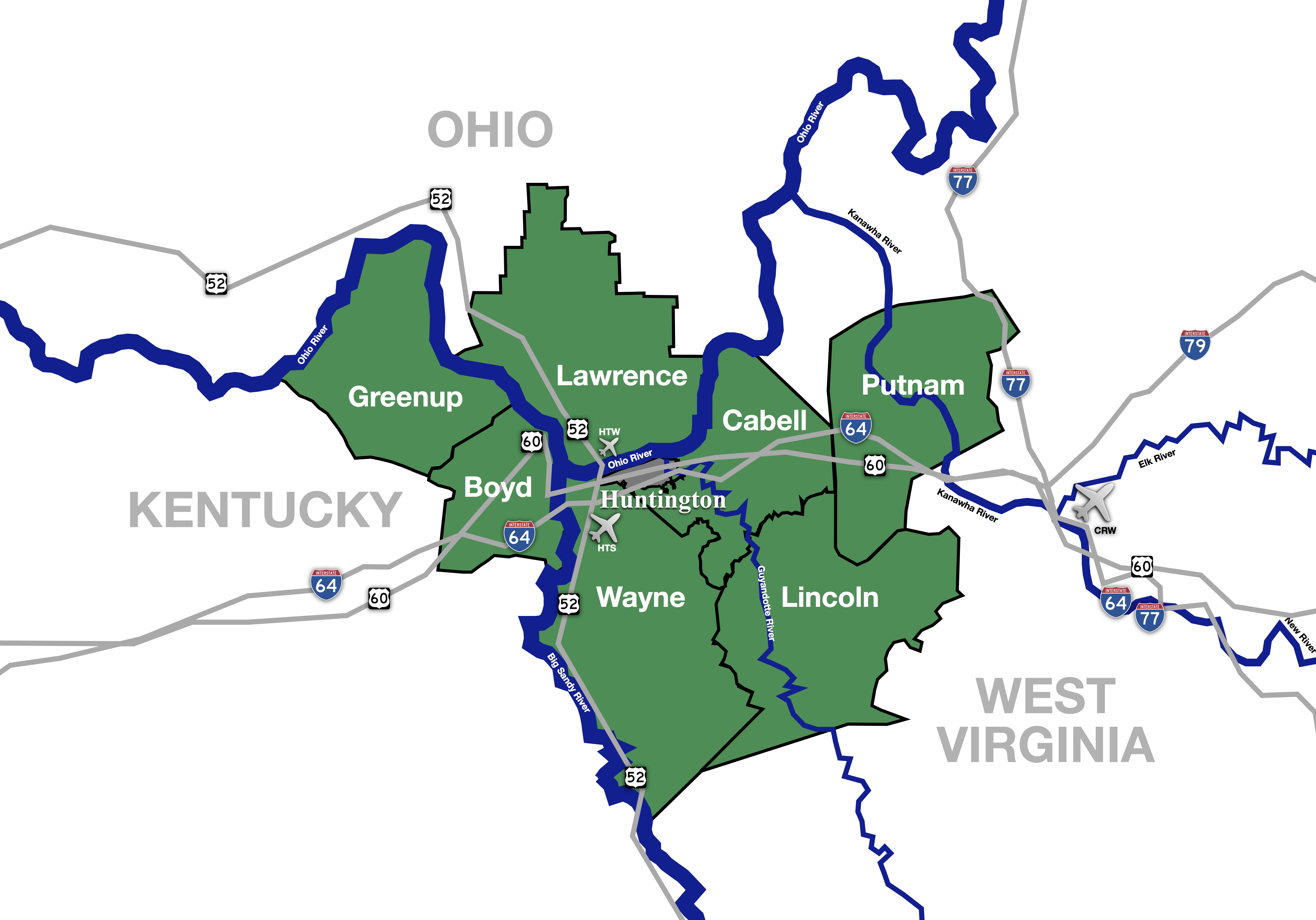 | |
| Municipalities with population over 5,000 | ||
| Municipalities with population 1,000–5,000 |
| |
| Municipalities with population under 1,000 |
| |
| West Virginia counties |
| |
| Kentucky counties | ||
| Ohio counties | ||
Authority control | |
|---|---|
| General |
|
| National libraries | |
Другой контент может иметь иную лицензию. Перед использованием материалов сайта WikiSort.org внимательно изучите правила лицензирования конкретных элементов наполнения сайта.
WikiSort.org - проект по пересортировке и дополнению контента Википедии