world.wikisort.org - USA
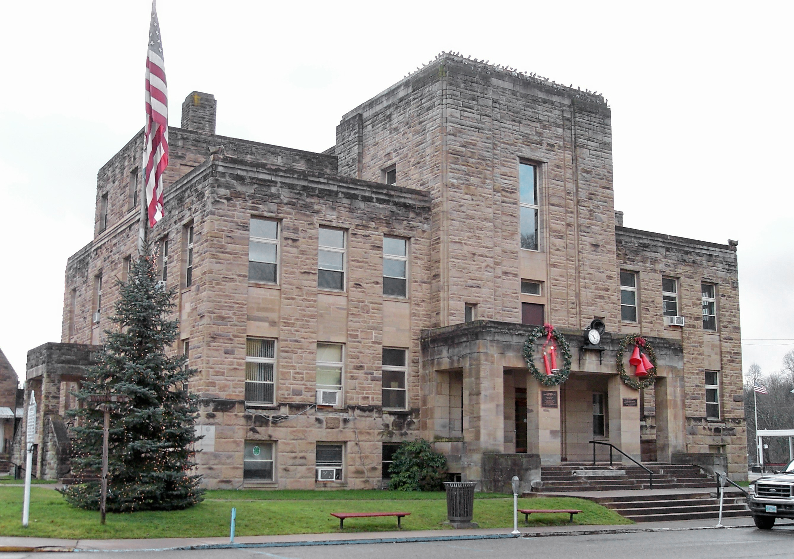
Grantsville is a town in Calhoun County, West Virginia, United States. The population was 561 at the 2010 census. It is the county seat of Calhoun County.[6] The town was established along the Little Kanawha River[7] in 1865 and named for Ulysses S. Grant.[8][9] Grantsville is home to Wayne Underwood Park, which includes a .25-mile-long (0.40 km) walking trail, and to the annual West Virginia Wood Festival.
Grantsville, West Virginia | |
|---|---|
Town | |
 Main Street in Grantsville in 2006 | |
 Location of Grantsville in Calhoun County, West Virginia. | |
| Coordinates: 38°55′23″N 81°5′42″W | |
| Country | United States |
| State | West Virginia |
| County | Calhoun |
| Area | |
| • Total | 0.46 sq mi (1.20 km2) |
| • Land | 0.43 sq mi (1.13 km2) |
| • Water | 0.03 sq mi (0.07 km2) |
| Elevation | 712 ft (217 m) |
| Population (2010)[2] | |
| • Total | 561 |
| • Estimate (2019)[3] | 513 |
| • Density | 1,179.31/sq mi (455.18/km2) |
| Time zone | UTC-5 (Eastern (EST)) |
| • Summer (DST) | UTC-4 (EDT) |
| ZIP code | 26147 |
| Area code(s) | 304 |
| FIPS code | 54-32884[4] |
| GNIS feature ID | 1539593[5] |

Geography
Grantsville is located at 38°55′23″N 81°5′42″W (38.922921, −81.094920).[10]
According to the United States Census Bureau, the town has a total area of 0.47 square miles (1.22 km2), of which 0.44 square miles (1.14 km2) is land and 0.03 square miles (0.08 km2) is water.[11]
Demographics
| Historical population | |||
|---|---|---|---|
| Census | Pop. | %± | |
| 1880 | 112 | — | |
| 1900 | 225 | — | |
| 1910 | 282 | 25.3% | |
| 1920 | 450 | 59.6% | |
| 1930 | 1,018 | 126.2% | |
| 1940 | 1,052 | 3.3% | |
| 1950 | 959 | −8.8% | |
| 1960 | 866 | −9.7% | |
| 1970 | 795 | −8.2% | |
| 1980 | 788 | −0.9% | |
| 1990 | 671 | −14.8% | |
| 2000 | 565 | −15.8% | |
| 2010 | 561 | −0.7% | |
| 2019 (est.) | 513 | [3] | −8.6% |
| U.S. Decennial Census[12] | |||
2010 census
As of the census[2] of 2010, there were 561 people, 262 households, and 140 families living in the town. The population density was 1,275.0 inhabitants per square mile (492.3/km2). There were 303 housing units at an average density of 688.6 per square mile (265.9/km2). The racial makeup of the town was 98.9% White, 0.2% African American, 0.4% Native American, 0.4% Asian, and 0.2% from two or more races. Hispanic or Latino of any race were 0.2% of the population.
There were 262 households, of which 21.8% had children under the age of 18 living with them, 34.4% were married couples living together, 14.9% had a female householder with no husband present, 4.2% had a male householder with no wife present, and 46.6% were non-families. 40.8% of all households were made up of individuals, and 20.2% had someone living alone who was 65 years of age or older. The average household size was 2.06 and the average family size was 2.76.
The median age in the town was 47.1 years. 16.4% of residents were under the age of 18; 7.5% were between the ages of 18 and 24; 23.8% were from 25 to 44; 29.2% were from 45 to 64; and 23% were 65 years of age or older. The gender makeup of the town was 47.2% male and 52.8% female.
2000 census
As of the census[4] of 2000, there were 565 people, 232 households, and 142 families living in the town. The population density was 1,241.1 inhabitants per square mile (474.2/km2). There were 276 housing units at an average density of 606.3 per square mile (231.7/km2). The racial makeup of the town was 99.65% White, and 0.35% from two or more races. Hispanic or Latino of any race were 0.35% of the population.
There were 232 households, out of which 23.3% had children under the age of 18 living with them, 43.1% were married couples living together, 12.5% had a female householder with no husband present, and 38.4% were non-families. 34.9% of all households were made up of individuals, and 15.5% had someone living alone who was 65 years of age or older. The average household size was 2.33 and the average family size was 3.02.
In the town, the population was spread out, with 21.1% under the age of 18, 9.2% from 18 to 24, 20.9% from 25 to 44, 25.7% from 45 to 64, and 23.2% who were 65 years of age or older. The median age was 44 years. For every 100 females, there were 96.9 males. For every 100 females age 18 and over, there were 89.8 males.
The median income for a household in the town was $26,111, and the median income for a family was $34,286. Males had a median income of $31,250 versus $15,192 for females. The per capita income for the town was $13,501. About 19.3% of families and 20.5% of the population were below the poverty line, including 15.4% of those under age 18 and 11.8% of those age 65 or over.
Notable people
- Hovah Hall Underwood, First Lady of West Virginia from 1957 to 1961 and 1997 to 2001
- Bernard P. Bell, winner of the Congressional Medal of Honor.
- Jedediah Purdy, philosopher, professor of law, Columbia University.
Climate
The climate in this area is characterized by hot, humid summers and generally mild to cool winters. According to the Köppen Climate Classification system, Grantsville has a humid subtropical climate, abbreviated "Cfa" on climate maps.[13]
See also
Media: The Calhoun Chronicle and The Grantsville News
References
- "2019 U.S. Gazetteer Files". United States Census Bureau. Retrieved August 7, 2020.
- "U.S. Census website". United States Census Bureau. Retrieved 2013-01-24.
- "Population and Housing Unit Estimates". United States Census Bureau. May 24, 2020. Retrieved May 27, 2020.
- "U.S. Census website". United States Census Bureau. Retrieved 2008-01-31.
- "US Board on Geographic Names". United States Geological Survey. 2007-10-25. Retrieved 2008-01-31.
- "Find a County". National Association of Counties. Archived from the original on 2011-05-31. Retrieved 2011-06-07.
- West Virginia Atlas & Gazetteer. Yarmouth, Me.: DeLorme. 1997. p. 34. ISBN 0-89933-246-3.
- Kenny, Hamill (1945). West Virginia Place Names: Their Origin and Meaning, Including the Nomenclature of the Streams and Mountains. Piedmont, West Virginia: The Place Name Press. p. 280.
- Gannett, Henry (1905). The Origin of Certain Place Names in the United States. Govt. Print. Off. pp. 142.
- "US Gazetteer files: 2010, 2000, and 1990". United States Census Bureau. 2011-02-12. Retrieved 2011-04-23.
- "US Gazetteer files 2010". United States Census Bureau. Archived from the original on 2012-01-25. Retrieved 2013-01-24.
- "Census of Population and Housing". Census.gov. Retrieved June 4, 2015.
- Climate Summary for Grantsville, West Virginia
External links
Municipalities and communities of Calhoun County, West Virginia, United States | ||
|---|---|---|
County seat: Grantsville | ||
| Town |  | |
| Unincorporated communities |
| |
| Ghost town |
| |
| ||
На других языках
- [en] Grantsville, West Virginia
[ru] Грантсвилл (Западная Виргиния)
Грантсвилл (англ. Grantsville) — город в штате Западная Виргиния, США. Он является административным центром округа Калхун. В 2010 году в городе проживали 561 человек.Другой контент может иметь иную лицензию. Перед использованием материалов сайта WikiSort.org внимательно изучите правила лицензирования конкретных элементов наполнения сайта.
WikiSort.org - проект по пересортировке и дополнению контента Википедии