world.wikisort.org - USA
Lesage is a census-designated place (CDP) on Ohio River Road in Cabell County, West Virginia, United States. As of the 2010 census, its population was 1,358.[2] It is the nearest community to Clover site, a National Historic Landmark.
Lesage, West Virginia | |
|---|---|
Census-designated place (CDP) | |
 Location in Cabell County and the state of West Virginia. | |
| Coordinates: 38°30′23″N 82°17′55″W | |
| Country | United States |
| State | West Virginia |
| County | Cabell |
| Area | |
| • Total | 7.234 sq mi (18.74 km2) |
| • Land | 6.095 sq mi (15.79 km2) |
| • Water | 1.139 sq mi (2.95 km2) |
| Population (2010)[2] | |
| • Total | 1,358 |
| • Density | 190/sq mi (72/km2) |
| Time zone | UTC-5 (Eastern (EST)) |
| • Summer (DST) | UTC-4 (EDT) |
Lesage is a part of the Huntington-Ashland Metropolitan Statistical Area (MSA). As of the 2010 census, the MSA had a population of 287,702. New definitions from February 28, 2013 placed the population at 363,000.[3]
The community was named after Jules F. M. LeSage, an early settler.[4]
References
- "US Gazetteer files: 2010, 2000, and 1990". United States Census Bureau. 2011-02-12. Retrieved 2011-04-23.
- "U.S. Census website". United States Census Bureau. Retrieved 2011-05-14.
- "Population statistics" (PDF). Archived from the original (PDF) on 2013-03-19.
- Kenny, Hamill (1945). West Virginia Place Names: Their Origin and Meaning, Including the Nomenclature of the Streams and Mountains. Piedmont, WV: The Place Name Press. pp. 368–369.
Municipalities and communities of Cabell County, West Virginia, United States | ||
|---|---|---|
County seat: Huntington | ||
| City |  | |
| Town | ||
| Village |
| |
| CDPs | ||
| Other communities | ||
| Footnotes | ‡This populated place also has portions in an adjacent county or counties | |
| ||
Huntington-Ashland-Ironton metropolitan area | ||
|---|---|---|
| Principal cities | 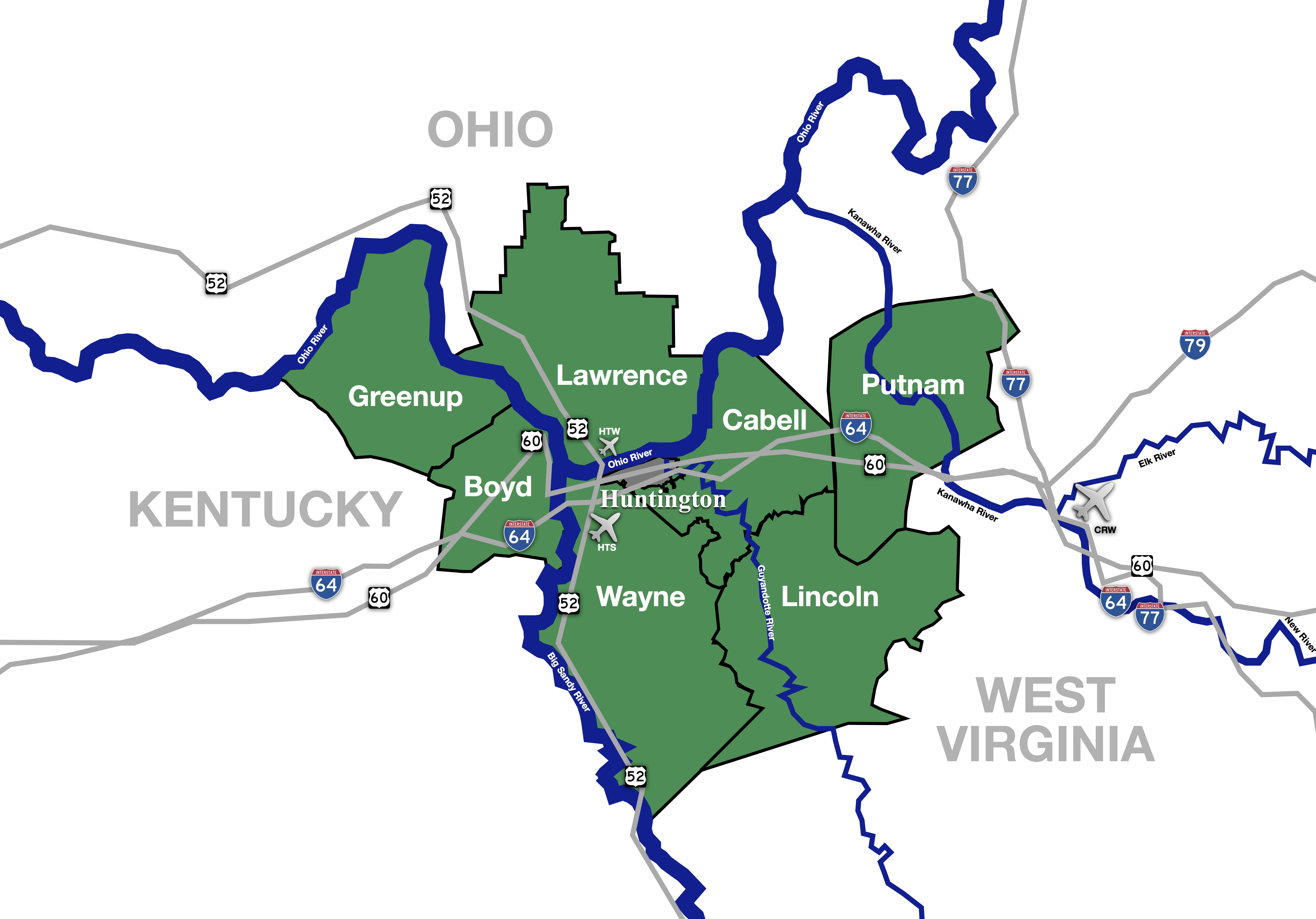 | |
| Municipalities with population over 5,000 | ||
| Municipalities with population 1,000–5,000 |
| |
| Municipalities with population under 1,000 |
| |
| West Virginia counties |
| |
| Kentucky counties |
| |
| Ohio counties |
| |
Текст в блоке "Читать" взят с сайта "Википедия" и доступен по лицензии Creative Commons Attribution-ShareAlike; в отдельных случаях могут действовать дополнительные условия.
Другой контент может иметь иную лицензию. Перед использованием материалов сайта WikiSort.org внимательно изучите правила лицензирования конкретных элементов наполнения сайта.
Другой контент может иметь иную лицензию. Перед использованием материалов сайта WikiSort.org внимательно изучите правила лицензирования конкретных элементов наполнения сайта.
2019-2025
WikiSort.org - проект по пересортировке и дополнению контента Википедии
WikiSort.org - проект по пересортировке и дополнению контента Википедии