world.wikisort.org - United_Kingdom
Cantsfield is a hamlet and civil parish in the City of Lancaster, in Lancashire, England, near the boundary with North Yorkshire. It is situated near the River Greta and on the A687 road near the junction with the A683. The parish had a population of 76 occording to the 2001 census.[1] In the 2011 census the parish was included with Tunstall. The village is a designated conservation area.[2]
| Cantsfield | |
|---|---|
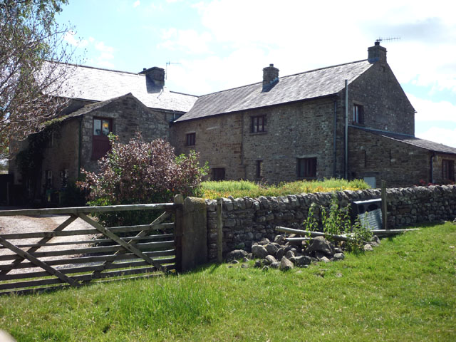 Cantsfield Hall | |
 Cantsfield Location in the City of Lancaster district  Cantsfield Location within Lancashire | |
| Population | 76 (2001) |
| OS grid reference | SD619729 |
| Civil parish |
|
| District |
|
| Shire county | |
| Region |
|
| Country | England |
| Sovereign state | United Kingdom |
| Post town | CARNFORTH |
| Postcode district | LA6 |
| Dialling code | 01524 |
| Police | Lancashire |
| Fire | Lancashire |
| Ambulance | North West |
| UK Parliament |
|
Thurland Castle, situated between Cantsfield and Tunstall, was originally built in the 14th century, and after being damaged during the English Civil War and rebuilt on two occasions has now been converted into apartments.[3]
See also
- Listed buildings in Cantsfield
References
- "Parish headcount" (PDF). Archived from the original (PDF) on 10 December 2006. Retrieved 13 April 2008.
- CONSERVATION AREAS: A guide for owners and developers Archived October 12, 2007, at the Wayback Machine
- Lancashire Parish Portal Archived August 7, 2007, at the Wayback Machine
External links
![]() Media related to Cantsfield at Wikimedia Commons
Media related to Cantsfield at Wikimedia Commons
This Lancashire location article is a stub. You can help Wikipedia by expanding it. |
Другой контент может иметь иную лицензию. Перед использованием материалов сайта WikiSort.org внимательно изучите правила лицензирования конкретных элементов наполнения сайта.
WikiSort.org - проект по пересортировке и дополнению контента Википедии