world.wikisort.org - United_Kingdom
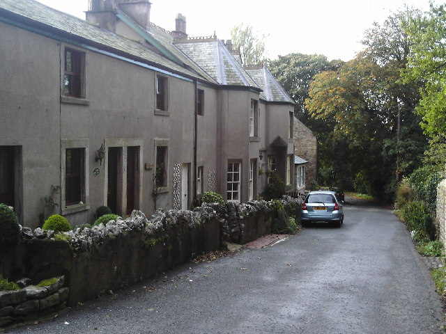
Stodday is a hamlet in the civil parish of Aldcliffe-with-Stodday, in the Lancaster District, in the English county of Lancashire just south of the city of Lancaster. It is near the A588 road and the River Lune.
| Stodday | |
|---|---|
 Stodday | |
 Stodday Location in the City of Lancaster district  Stodday Location within Lancashire | |
| OS grid reference | SD466586 |
| Civil parish |
|
| District |
|
| Shire county |
|
| Region |
|
| Country | England |
| Sovereign state | United Kingdom |
| Post town | LANCASTER |
| Postcode district | LA2 |
| Dialling code | 01524 |
| Police | Lancashire |
| Fire | Lancashire |
| Ambulance | North West |
| UK Parliament |
|
A mile to the south, Ashton Hall is a mansion dating to 1856, now used as the clubhouse of Lancaster Golf Club, incorporating the remains of a 14th-century tower.[1]
It was formerly in the township and civil parish of Ashton with Stodday in Lancaster Rural District, until this was incorporated into the civil parish of Lancaster in 1935.[2]
References
| Wikimedia Commons has media related to Stodday. |
- "Ashton Hall". Pastscape. Retrieved 14 June 2011.
- "Ashton with Stodday CP: Relationships and changes". www.visionofbritain.org.uk. Retrieved 15 May 2020.
External links
- Ashton with Stodday: historical and genealogical information at GENUKI.
This Lancashire location article is a stub. You can help Wikipedia by expanding it. |
Текст в блоке "Читать" взят с сайта "Википедия" и доступен по лицензии Creative Commons Attribution-ShareAlike; в отдельных случаях могут действовать дополнительные условия.
Другой контент может иметь иную лицензию. Перед использованием материалов сайта WikiSort.org внимательно изучите правила лицензирования конкретных элементов наполнения сайта.
Другой контент может иметь иную лицензию. Перед использованием материалов сайта WikiSort.org внимательно изучите правила лицензирования конкретных элементов наполнения сайта.
2019-2025
WikiSort.org - проект по пересортировке и дополнению контента Википедии
WikiSort.org - проект по пересортировке и дополнению контента Википедии