world.wikisort.org - United_Kingdom
Heaton-with-Oxcliffe is a civil parish situated near the River Lune. it is in the City of Lancaster and the English county of Lancashire. The parish contains the villages of Heaton, Oxcliffe Hill, plus the area around Salt Ayre, and had a population of 2,225 recorded in the 2001 census,[1] decreasing to 2,059 at the 2011 census.[2]
| Heaton-with-Oxcliffe | |
|---|---|
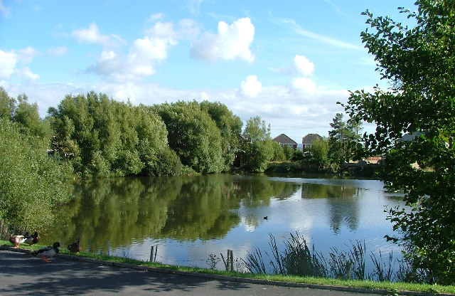 Duck pond at Cathedral Drive | |
 Heaton-with-Oxcliffe Location in the City of Lancaster district  Heaton-with-Oxcliffe Location within Lancashire | |
| Population | 2,059 (2001) |
| OS grid reference | SD443603 |
| Civil parish |
|
| District |
|
| Shire county |
|
| Region |
|
| Country | England |
| Sovereign state | United Kingdom |
| Post town | MORECAMBE |
| Postcode district | LA3 |
| Dialling code | 01524 |
| Police | Lancashire |
| Fire | Lancashire |
| Ambulance | North West |
| UK Parliament |
|
The Golden Ball Inn
The area around the Golden Ball Inn, in Oxcliffe, is locally known as Snatchems, as it was once a place that press gangs frequented. The front door of the Inn is 6 feet (1.8 m) above the road, as the road frequently floods on a spring tide, the lower car park displaying a white line on the wall, about 5 feet (1.5 m) above the ground, showing the highest level that the Lune reached during a major flood in 1967.
See also
- Listed buildings in Heaton-with-Oxcliffe
References
- "Parish headcount" (PDF). Lancashire County Council. Archived from the original (PDF) on 10 December 2006. Retrieved 10 January 2009.
- UK Census (2011). "Local Area Report – Heaton-with-Oxcliffe Parish (E04005190)". Nomis. Office for National Statistics. Retrieved 27 March 2021.
External links
- Heaton with Oxcliffe: historical and genealogical information at GENUKI.
![]() Media related to Heaton-with-Oxcliffe at Wikimedia Commons
Media related to Heaton-with-Oxcliffe at Wikimedia Commons
Другой контент может иметь иную лицензию. Перед использованием материалов сайта WikiSort.org внимательно изучите правила лицензирования конкретных элементов наполнения сайта.
WikiSort.org - проект по пересортировке и дополнению контента Википедии