world.wikisort.org - United_Kingdom
Wennington is a civil parish in the City of Lancaster district in Lancashire, England. The 2001 Census recorded the parish's population as 102,[2] and the 2011 Census recorded it as 178.[1]
| Wennington | |
|---|---|
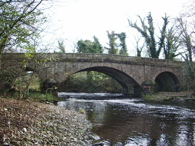 Bridge at Wennington | |
 Wennington Shown within Lancaster district  Wennington Location within Lancashire | |
| Area | 3.95 km2 (1.53 sq mi) |
| Population | 178 (2011 Census)[1] |
| • Density | 45/km2 (120/sq mi) |
| OS grid reference | SD616699 |
| Civil parish |
|
| District |
|
| Shire county |
|
| Region |
|
| Country | England |
| Sovereign state | United Kingdom |
| Post town | Lancaster |
| Postcode district | LA2 |
| Dialling code | 01524 |
| Police | Lancashire |
| Fire | Lancashire |
| Ambulance | North West |
| UK Parliament |
|
The village is on the B6480, near the River Wenning and the Yorkshire border. It is administered by Wennington Parish Council. Wennington Hall is to the north.
Transport
The village is served by Wennington railway station on what was the Midland Railway and is now the Leeds to Morecambe line. There are services to Leeds, Morecambe and Lancaster. It was also the location of the start of the Furness and Midland Joint Railway connecting to the Furness Railway to the west.
See also
- Listed buildings in Wennington, Lancashire
References
- UK Census (2011). "Local Area Report – Wennington (1170215060)". Nomis. Office for National Statistics. Retrieved 18 March 2018.
- "Parish headcount" (PDF). Lancashire County Council. Archived from the original (PDF) on 10 December 2006. Retrieved 27 December 2008.
External links
| Wikimedia Commons has media related to Wennington, Lancashire. |
Authority control | |
|---|---|
| General |
|
| National libraries | |
This Lancashire location article is a stub. You can help Wikipedia by expanding it. |
Текст в блоке "Читать" взят с сайта "Википедия" и доступен по лицензии Creative Commons Attribution-ShareAlike; в отдельных случаях могут действовать дополнительные условия.
Другой контент может иметь иную лицензию. Перед использованием материалов сайта WikiSort.org внимательно изучите правила лицензирования конкретных элементов наполнения сайта.
Другой контент может иметь иную лицензию. Перед использованием материалов сайта WikiSort.org внимательно изучите правила лицензирования конкретных элементов наполнения сайта.
2019-2025
WikiSort.org - проект по пересортировке и дополнению контента Википедии
WikiSort.org - проект по пересортировке и дополнению контента Википедии