world.wikisort.org - Turkey
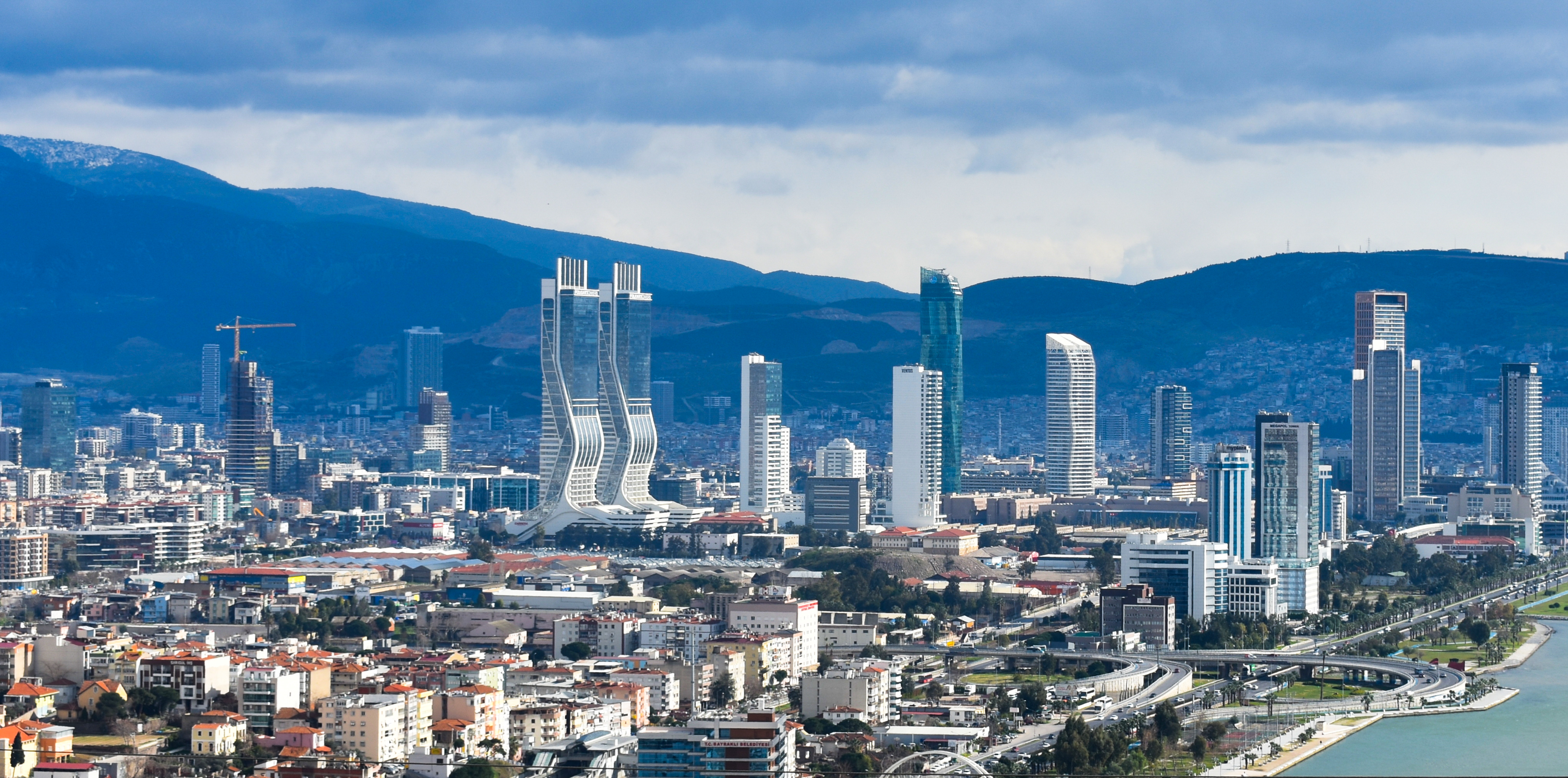
Bayraklı is a metropolitan district of İzmir and a district of İzmir Province in Turkey. Bayraklı was turned into a district by a decree of the Government of Turkey on March 6, 2008. Previously, it was a quarter within İzmir's Karşıyaka district.
Bayraklı | |
|---|---|
 | |
 Bayraklı | |
| Coordinates: 38°27′44″N 27°10′0″E | |
| Country | Turkey |
| Province | İzmir |
| Government | |
| • Mayor | Hasan Karabağ (CHP) |
| • Kaymakam | Kaan Peker |
| Elevation | 86 m (282 ft) |
| Population (2012)[1] | |
| • Urban | 309,137 |
| • District | 309,137 |
| Website | www.bayrakli.bel.tr |
See also
- Smyrna
- Bayraklı Tunnels
References
- "Population of province/district centers and towns/villages by districts - 2012". Address Based Population Registration System (ABPRS) Database. Turkish Statistical Institute. Retrieved 2013-02-27.
Bayraklı in Izmir Province of Turkey | |||||||||||||||||||||||||||
|---|---|---|---|---|---|---|---|---|---|---|---|---|---|---|---|---|---|---|---|---|---|---|---|---|---|---|---|
| Districts |  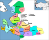 | ||||||||||||||||||||||||||
|
Metropolitan municipalities are bolded. | |||||||||||||||||||||||||||
Known as Smyrna in English until about 1930 | |||||||
| Settlements |
| ||||||
| History |
| ||||||
| Universities |
| ||||||
| Museums and Monuments |
| ||||||
| Religious buildings |
| ||||||
| Transportation |
| ||||||
| Buildings and structures |
| ||||||
| Squares |
| ||||||
This geographical article about a location in İzmir Province, Turkey is a stub. You can help Wikipedia by expanding it. |
На других языках
[de] Bayraklı
Bayraklı ist eine Stadtgemeinde (Belediye) im gleichnamigen Ilçe (Landkreis) der Provinz Izmir in der türkischen Ägäisregion und gleichzeitig ein Stadtbezirk der 1984 gebildeten İzmir Büyükşehir Belediyesi (Großstadtgemeinde/Metropolprovinz). Die Gemeinde ist flächen- und einwohnermäßig identisch mit dem staatlichen Bezirk.- [en] Bayraklı
Текст в блоке "Читать" взят с сайта "Википедия" и доступен по лицензии Creative Commons Attribution-ShareAlike; в отдельных случаях могут действовать дополнительные условия.
Другой контент может иметь иную лицензию. Перед использованием материалов сайта WikiSort.org внимательно изучите правила лицензирования конкретных элементов наполнения сайта.
Другой контент может иметь иную лицензию. Перед использованием материалов сайта WikiSort.org внимательно изучите правила лицензирования конкретных элементов наполнения сайта.
2019-2026
WikiSort.org - проект по пересортировке и дополнению контента Википедии
WikiSort.org - проект по пересортировке и дополнению контента Википедии