world.wikisort.org - Thailand
Roi Et (Thai: ร้อยเอ็ด, pronounced [rɔ́ːj ʔèt]) is one of Thailand's seventy-six provinces (changwat) lies in central northeastern Thailand also called Isan. Neighboring provinces are (from north clockwise) Kalasin, Mukdahan, Yasothon, Sisaket, Surin, and Maha Sarakham.
This article needs additional citations for verification. (August 2019) |
Roi Et
ร้อยเอ็ด | |
|---|---|
Province | |
From left to right, top to bottom: Wat Burapha Phiram, Wat Pa Kung, Bueng Phalan Chai, Phra Maha Chedi Chai Mongkhon, Ku Ka Sing | |
 Flag  Seal | |
 Map of Thailand highlighting Roi Et province | |
| Country | Thailand |
| Capital | Roi Et |
| Government | |
| • Governor | Phusit Somchit (since October 2021) |
| Area | |
| • Total | 7,873 km2 (3,040 sq mi) |
| • Rank | Ranked 25th |
| Elevation | 150 m (490 ft) |
| Population (2019)[2] | |
| • Total | 1,305,211 |
| • Rank | Ranked 14th |
| • Density | 166/km2 (430/sq mi) |
| • Rank | Ranked 21st |
| Human Achievement Index | |
| • HAI (2017) | 0.6075 "somewhat high" Ranked 25th |
| Time zone | UTC+7 (ICT) |
| Postal code | 45xxx |
| Calling code | 043 |
| ISO 3166 code | TH-45 |
| Website | www |


Toponymy
The name of the province literally means 'one hundred and one' (Thai: ร้อยเอ็ด; RTGS: roi et ). Correctly, the number should be "eleven" (Thai: สิบเอ็ด; RTGS: sip et ), as the province was named after its eleven ancient gates built for its eleven vassal states. In ancient times, the number "eleven" was written "๑๐๑" (101) and the provincial name was written accordingly. Later, people took "๑๐๑" to mean 'one hundred and one' and have since then called it "Roi Et".[4]
Geography
Most of the province is covered by plains about 130–160 meters above sea level, drained by the Chi River. In the north are the hills of the Phu Phan mountain range. The Yang River is the major watercourse. In the south is the Mun River, which also forms the boundary with Surin. At the mouth of the Chi River, where it enters the Mun River, a floodplain provides a good rice farming area. The total forest area is 346 km2 (134 sq mi) or 4.4 percent of provincial area.[1]
History
Roi Et is a province located in the middle of the Isan region, established in 1775.
Prehistoric period
Prehistoric evidence has been found scattered throughout the province of Roi Et, has unearthed an archaeological site, Ban Muang Bua, which is assumed that The ancient prehistoric community discovered about 1,800-2,500 years ago. Culture from the Khmer Empire has spread into the 16th century, there is a lot of evidence, such as architecture in the form of a stone castle and religious sculptures made of sandstone and metal.
Dvaravati period
The prehistoric community settlement continued into the Dvaravati period, which is a Buddhist culture. The created city has a variable shape and location, but there are important characteristics, there are moats and embankments around the community. It is also found in many other districts of Roi Et.
Rattanakosin period
In 1782, King Rama I established Rattanakosin as the new capital city causing the Roi Et city and all Isan districts to all depend directly on Rattanakosin. As for Roi Et city, it has continued to developed until it has a political position and a priority over the city of Suvarnabhumi at a later time.
Later in 1826, in Lao rebellion (1826–1828), when the rebel army lost and retreated, the soldiers from Roi Et city attacked again until the rebels were defeated.
When King Rama V reformed the government, and include the northeastern cities together and divided into 4 large divisions, each with one governor supervising the division. The 4 large divisions including Eastern Laos Districts, Northeastern Laos Districts, Northern Laos Districts and Central Laos Districts, Roi Et is the capital city of 12 cities of the Northeastern Laos Districts.
In 1907, the city of Roi Et has been raised as an area of Roi Et, by dividing the administrative area into 5 cities, namely Roi Et, Suvarnabhumi, Maha Sarakham, Kamalasai and Kalasin.
In 1910, Damrong Rajanubhab has an opinion that Monthon Northeastern should be separated into 2 Monthon, namely Monthon Ubon Ratchathani and Monthon Roi Et, King Rama VI has ordered to be as proposed, Monthon Roi Et has 3 provinces, namely Roi Et province, Mahasarakham province and Kalasin province.
In 1922, King Rama VI ordered to included Monthon Roi Et, Monthon Ubon and Monthon Udon as a region called the Isan region. Later in 1926, ordered to collapsed Monthon Roi Et, Ubon and Udon and changed the name to the "province", Monthon Roi Et then becomes the province of Roi Et until the present.
Symbols
The provincial seal shows the shrine of the city pillar, which is in the artificial lake Bueng Phalan Chai. The spirit of the shrine, Mahesak, is revered by local people.
The provincial tree is Lagerstroemia macrocarpa.
Transportation
Road
Route 214 leads north to Kalasin and south to Kaset Wiset, Surin, and Prasat. Route 2044 leads east to Phon Thong. Route 23 leads west to Maha Sarakham and Ban Phai, and east to Yasothon and Ubon Ratchathani. Route 215 leads south to Suwannaphum and the border with Surin province.
Air
Roi Et is served by Roi Et Airport to the north of the town.[5]
Health
Roi Et's main hospital is Roi Et Hospital, a regional hospital operated by the Ministry of Public Health.
Administrative divisions
Provincial government

The province is divided into 20 districts (amphoes). The districts are further divided into 193 subdistricts (tambons) and 2,311 villages (mubans).
|
|
Local government
As of 26 November 2019 there are:[6] one Roi Et Provincial Administration Organisation (ongkan borihan suan changwat) and 73 municipal (thesaban) areas in the province. Roi Et has town (thesaban mueang) status. Further 72 subdistrict municipalities (thesaban tambon). The non-municipal areas are administered by 129 Subdistrict Administrative Organisations - SAO (ongkan borihan suan tambon).[2]
Human achievement index 2017
| Health | Education | Employment | Income |
| 21 | 48 | 31 | 26 |
| Housing | Family | Transport | Participation |
 |
 |
||
| 1 | 28 | 62 | 48 |
| Province Roi Et, with an HAI 2017 value of 0.6075 is "somewhat high", occupies place 25 in the ranking. | |||
Since 2003, United Nations Development Programme (UNDP) in Thailand has tracked progress on human development at sub-national level using the Human achievement index (HAI), a composite index covering all the eight key areas of human development. National Economic and Social Development Board (NESDB) has taken over this task since 2017.[3]
| Rank | Classification |
| 1 - 15 | "high" |
| 16 - 30 | "somewhat high" |
| 31 - 45 | "average" |
| 45 - 60 | "somewhat low" |
| 61 - 77 | "low" |
| Map with provinces and HAI 2017 rankings |
 |
Gallery
 Roi Et National Museum
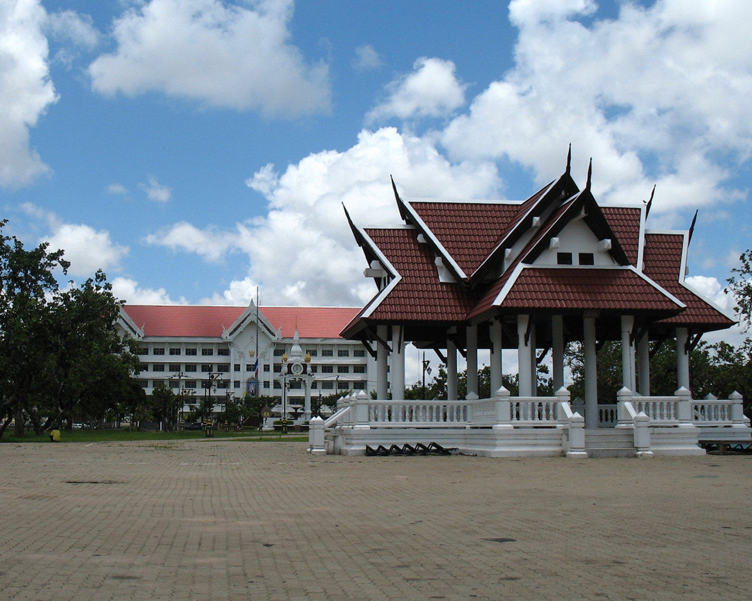
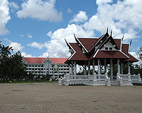 Roi Et City Hall

References
- "ตารางที่ 2 พี้นที่ป่าไม้ แยกรายจังหวัด พ.ศ.2562" [Table 2 Forest area Separate province year 2019]. Royal Forest Department (in Thai). 2019. Retrieved 6 April 2021, information, Forest statistics Year 2019, Thailand boundary from Department of Provincial Administration in 2013
{{cite web}}: CS1 maint: postscript (link) - รายงานสถิติจำนวนประชากรและบ้านประจำปี พ.ส.2562 [Statistics, population and house statistics for the year 2019]. Registration Office Department of the Interior, Ministry of the Interior. stat.bora.dopa.go.th (in Thai). 31 December 2019. Retrieved 26 February 2020.
- Human achievement index 2017 by National Economic and Social Development Board (NESDB), pages 1-40, maps 1-9, retrieved 14 September 2019, ISBN 978-974-9769-33-1
- Royal Institute of Thailand (2010). Kotmai Tra Sam Duang Phra Thamnun (Chabap Ratchabandittayasathan) กฎหมายตราสามดวง พระทำนูน (ฉบับราชบัณฑิตยสถาน) [The Code of the Three Great Seals: The Judicial Statute (Royal Institute Version)] (in Thai). Bangkok: Royal Institute of Thailand. pp. 39–40. ISBN 9786167073118.
- "Rob Muang Airport". OurAirports. Retrieved 4 February 2013.
- "Number of local government organizations by province". dla.go.th. Department of Local Administration (DLA). 26 November 2019. Retrieved 10 December 2019.
47 Roi Et: 1 PAO, 1 Town mun., 72 Subdistrict mun., 129 SAO.
External links
 Roi Et travel guide from Wikivoyage
- Province page from the Tourist Authority of Thailand
- Website of province (Thai only)
Places adjacent to Roi Et province | ||||||||||||||||
|---|---|---|---|---|---|---|---|---|---|---|---|---|---|---|---|---|
| ||||||||||||||||
Authority control | |
|---|---|
| General | |
| National libraries | |
| Other |
|
На других языках
[de] Roi Et (Provinz)
Roi Et (Thai: ร้อยเอ็ด) ist eine Provinz (Changwat) in der Nordostregion von Thailand, dem Isan. Die Hauptstadt der Provinz Roi Et heißt ebenfalls Roi Et.- [en] Roi Et province
Другой контент может иметь иную лицензию. Перед использованием материалов сайта WikiSort.org внимательно изучите правила лицензирования конкретных элементов наполнения сайта.
WikiSort.org - проект по пересортировке и дополнению контента Википедии