world.wikisort.org - Japan
Imabetsu (今別町, Imabetsu-machi) is a town located in Aomori Prefecture, Japan and a part of the Aomori metropolitan area.[1] As of 29 February 2020[update], the town had an estimated population of 2,562 in 1414 households,[2] and a population density of 20 persons per km2. The total area of the town is 125.27 km2 (48.37 sq mi).
Imabetsu
今別町 | |
|---|---|
Town | |
 Imabestu Town Hall | |
 Flag  Seal | |
 Location of Imabetsu in Aomori Prefecture | |
 Imabetsu | |
| Coordinates: 41°10′54.4″N 140°28′54″E | |
| Country | Japan |
| Region | Tōhoku |
| Prefecture | Aomori |
| District | Higashitsugaru |
| Area | |
| • Total | 125.27 km2 (48.37 sq mi) |
| Population (February 29, 2020) | |
| • Total | 2,562 |
| • Density | 20/km2 (53/sq mi) |
| Time zone | UTC+9 (Japan Standard Time) |
| Phone number | 0174-35-2001 |
| Address | 167 Imabetsu, Imabetsu-machi, Higashitsugaru-gun, Aomori-ken 030-1502 |
| Climate | Cfa |
| Website | Official website |
| Symbols | |
| Bird | Common gull |
| Flower | Chrysanthemum |
| Tree | Hiba |
Geography
Imabetsu is in Higashitsugaru District of Aomori Prefecture, and occupies the northern coastline of Tsugaru Peninsula, facing Tsugaru Strait. Much of the town is within the limits of the Tsugaru Quasi-National Park.
Neighbouring municipalities
- Aomori Prefecture
- Goshogawara
- Sotogahama
Climate
The town has a cold humid continental climate (Köppen Cfb) characterized by warm short summers and long cold winters with heavy snowfall. The average annual temperature in Imabetsu is 10.2 °C. The average annual rainfall is 1249 mm with September as the wettest month. The temperatures are highest on average in August, at around 22.9 °C, and lowest in January, at around -1.4 °C.[3]
| Climate data for Imabetsu (1991−2020 normals, extremes 1976−present) | |||||||||||||
|---|---|---|---|---|---|---|---|---|---|---|---|---|---|
| Month | Jan | Feb | Mar | Apr | May | Jun | Jul | Aug | Sep | Oct | Nov | Dec | Year |
| Record high °C (°F) | 11.3 (52.3) |
15.8 (60.4) |
18.3 (64.9) |
25.7 (78.3) |
29.7 (85.5) |
30.8 (87.4) |
32.9 (91.2) |
33.0 (91.4) |
33.3 (91.9) |
26.4 (79.5) |
22.3 (72.1) |
15.8 (60.4) |
33.3 (91.9) |
| Average high °C (°F) | 1.6 (34.9) |
2.3 (36.1) |
6.1 (43.0) |
12.2 (54.0) |
16.9 (62.4) |
20.2 (68.4) |
24.0 (75.2) |
25.9 (78.6) |
23.2 (73.8) |
17.3 (63.1) |
10.5 (50.9) |
4.2 (39.6) |
13.7 (56.7) |
| Daily mean °C (°F) | −0.8 (30.6) |
−0.4 (31.3) |
2.5 (36.5) |
7.7 (45.9) |
12.4 (54.3) |
16.0 (60.8) |
20.3 (68.5) |
22.1 (71.8) |
18.9 (66.0) |
13.0 (55.4) |
7.0 (44.6) |
1.4 (34.5) |
10.0 (50.0) |
| Average low °C (°F) | −3.3 (26.1) |
−3.2 (26.2) |
−0.9 (30.4) |
3.3 (37.9) |
8.1 (46.6) |
12.4 (54.3) |
17.3 (63.1) |
19.0 (66.2) |
15.1 (59.2) |
8.8 (47.8) |
3.5 (38.3) |
−1.3 (29.7) |
6.6 (43.8) |
| Record low °C (°F) | −10.7 (12.7) |
−11.2 (11.8) |
−9.0 (15.8) |
−4.4 (24.1) |
−0.5 (31.1) |
3.9 (39.0) |
9.4 (48.9) |
11.0 (51.8) |
5.8 (42.4) |
1.1 (34.0) |
−6.1 (21.0) |
−10.4 (13.3) |
−11.2 (11.8) |
| Average precipitation mm (inches) | 137.0 (5.39) |
103.1 (4.06) |
98.1 (3.86) |
98.5 (3.88) |
105.6 (4.16) |
86.6 (3.41) |
129.4 (5.09) |
191.9 (7.56) |
167.2 (6.58) |
159.0 (6.26) |
176.4 (6.94) |
167.0 (6.57) |
1,619.8 (63.77) |
| Average snowfall cm (inches) | 163 (64) |
131 (52) |
87 (34) |
5 (2.0) |
0 (0) |
0 (0) |
0 (0) |
0 (0) |
0 (0) |
0 (0) |
14 (5.5) |
103 (41) |
503 (198) |
| Average precipitation days (≥ 1.0 mm) | 22.7 | 18.1 | 15.6 | 11.9 | 10.8 | 9.1 | 10.2 | 10.6 | 12.1 | 14.2 | 18.3 | 22.6 | 176.2 |
| Average snowy days (≥ 3 cm) | 19.4 | 16.9 | 11.7 | 0.6 | 0 | 0 | 0 | 0 | 0 | 0 | 1.6 | 13.2 | 63.4 |
| Mean monthly sunshine hours | 27.6 | 55.5 | 126.1 | 187.2 | 198.5 | 177.6 | 157.6 | 186.4 | 170.3 | 144.9 | 68.6 | 33.9 | 1,527.1 |
| Source: Japan Meteorological Agency[4][5] | |||||||||||||
Demographics
Per Japanese census data,[6] the population of Imabetsu has decreased by more than two-thirds over the past 60 years and is now much less than it was a century ago.
| Year | Pop. | ±% |
|---|---|---|
| 1920 | 5,188 | — |
| 1930 | 5,385 | +3.8% |
| 1940 | 6,121 | +13.7% |
| 1950 | 7,710 | +26.0% |
| 1960 | 8,068 | +4.6% |
| 1970 | 7,358 | −8.8% |
| 1980 | 7,113 | −3.3% |
| 1990 | 4,978 | −30.0% |
| 2000 | 4,124 | −17.2% |
| 2010 | 3,217 | −22.0% |
| 2020 | 2,334 | −27.4% |
History
The area around Imabetsu was controlled by the Tsugaru clan of Hirosaki Domain during the Edo period. After the Meiji Restoration Minmaya, Kanita and Tairadate villages were separated from Imabetsu, which was also organized as a village on April 1, 1889 with the establishment of the modern municipalities system. On March 31, 1955, Imabetsu annexed the neighboring village of Ippongi and was elevated to town status.
Government
Imabetsu has a mayor-council form of government with a directly elected mayor and a unicameral town legislature of 6 members. Higashitsugaru District, contributes one member to the Aomori Prefectural Assembly. In terms of national politics, the town is part of Aomori 1st district of the lower house of the Diet of Japan.
Economy
The economy of Imabetsu is heavily dependent on commercial fishing and farming. Some of the locally caught seafood include sea urchin roe, sea cucumber, scallops, abalone and squid. 1Imabetsu farms are known for Imabetsu-gyu, a type of wagyu, and Shine Muscat grapes.
Education
Imabetsu has one public elementary school and one public junior high middle school operated by the town government. The public high school operated by the Aomori Prefectural Board of Education closed in April 2022.
Transportation
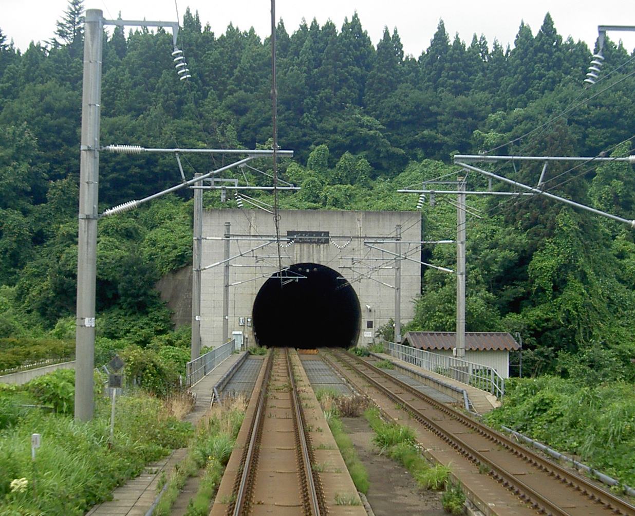
Railway
![]() East Japan Railway Company (JR East) - Tsugaru Line
East Japan Railway Company (JR East) - Tsugaru Line
![]() Hokkaidō Railway Company (JR Hokkaido) - Hokkaido Shinkansen
Hokkaidō Railway Company (JR Hokkaido) - Hokkaido Shinkansen
Highway
 National Route 280
References
- "2010 Metropolitan Employment Map". University of Tokyo. Retrieved 23 February 2020.
- Imabetsu Town official statistics (in Japanese)
- Imabetsu climate data
- 観測史上1~10位の値(年間を通じての値). JMA. Retrieved March 5, 2022.
- 気象庁 / 平年値(年・月ごとの値). JMA. Retrieved March 5, 2022.
- Imabetsu population statistics
External links
 Media related to Imabetsu, Aomori at Wikimedia Commons
- Official website (in Japanese)
Aomori (capital) | ||
| Core cities |
| |
| Cities | ||
| Districts |
| |
List of mergers in Aomori Prefecture | ||
Authority control | |
|---|---|
| General | |
| National libraries | |
На других языках
- [en] Imabetsu
[es] Imabetsu (Aomori)
Imabetsu (今別町, Imabetsu-machi?) es un pueblo localizado en la prefectura de Aomori, Japón. En octubre de 2018 tenía una población de 2.496 habitantes y una densidad de población de 19,9 personas por km². Su área total es de 125,27 km².[ru] Имабецу
Имабецу (яп. 今別町 Имабэцу-мати) — посёлок в Японии, находящийся в уезде Хигасицугару префектуры Аомори. Площадь посёлка составляет 125,28 км²[1], население — 3031 человек (1 августа 2014)[2], плотность населения — 24,19 чел./км².Другой контент может иметь иную лицензию. Перед использованием материалов сайта WikiSort.org внимательно изучите правила лицензирования конкретных элементов наполнения сайта.
WikiSort.org - проект по пересортировке и дополнению контента Википедии