world.wikisort.org - Japan
Hokota (鉾田市, Hokota-shi) is a city located in Ibaraki Prefecture, Japan. As of 1 July 2020[update], the city had an estimated population of 45,997 in 18,455 households and a population density of 221.6 persons per km². The percentage of the population aged over 65 was 34.1%.[1] The total area of the city is 207.60 square kilometres (80.15 sq mi).
Hokota
鉾田市 | |
|---|---|
City | |
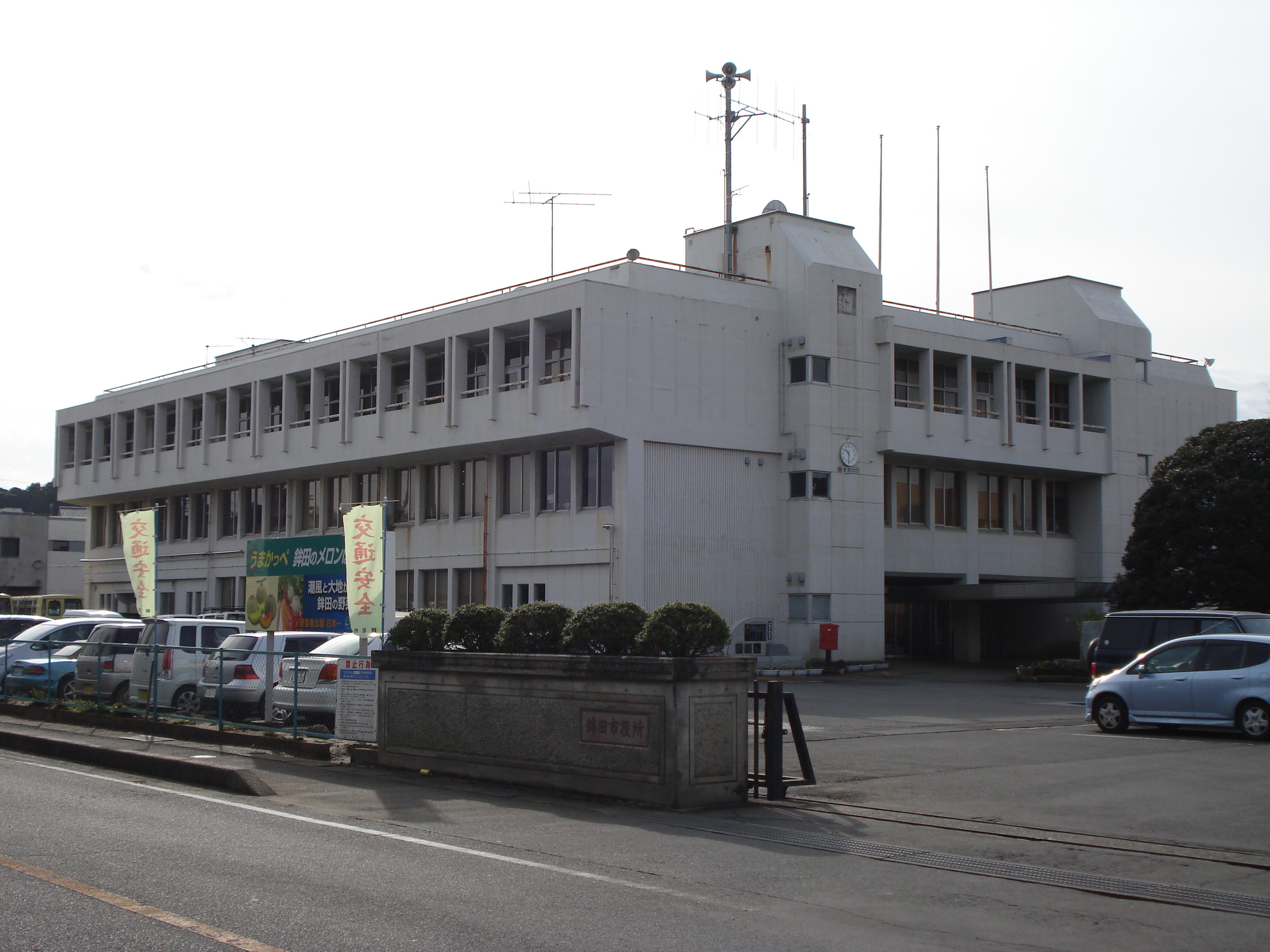 Hokota city hall | |
 Flag  Seal | |
 Location of Hokota in Ibaraki Prefecture | |
 Hokota | |
| Coordinates: 36°9′31.2″N 140°30′59.1″E | |
| Country | Japan |
| Region | Kantō |
| Prefecture | Ibaraki |
| Area | |
| • Total | 207.61 km2 (80.16 sq mi) |
| Population (October 2020) | |
| • Total | 45,886 |
| • Density | 220/km2 (570/sq mi) |
| Time zone | UTC+9 (Japan Standard Time) |
| Phone number | 0291-33-2111 |
| Address | 1444-1 Hokota, Hokota-shi, Ibaraki-ken 311-1592 |
| Climate | Cfa |
| Website | Official website |
| Symbols | |
| Bird | Japanese bush warbler |
| Flower | Sunflower |
| Tree | Sakura |

Geography
Hokota is located in central Ibaraki Prefecture, approximately 90 kilometers northeast of Tokyo and within 30 kilometers of Mito City, the prefectural capital. The eastern side of the city faces the Pacific Ocean and has a long shallow coastline from north to south. Most of the inland area is flat, and agriculture that takes advantage of the flat terrain and the mild climate is the core industry..
Surrounding municipalities
Ibaraki Prefecture
Climate
Hokota has a Humid continental climate (Köppen Cfa) characterized by warm summers and cold winters with light snowfall. The average annual temperature in Hokota is 13.8 °C (56.8 °F). The average annual rainfall is 1,468.5 mm (57.81 in) with October as the wettest month. The temperatures are highest on average in August, at around 25.3 °C (77.5 °F), and lowest in January, at around 2.8 °C (37.0 °F).[2]
| Climate data for Hokota (1991−2020 normals, extremes 1978−present) | |||||||||||||
|---|---|---|---|---|---|---|---|---|---|---|---|---|---|
| Month | Jan | Feb | Mar | Apr | May | Jun | Jul | Aug | Sep | Oct | Nov | Dec | Year |
| Record high °C (°F) | 17.9 (64.2) |
24.2 (75.6) |
24.7 (76.5) |
29.4 (84.9) |
33.7 (92.7) |
34.4 (93.9) |
37.8 (100.0) |
37.2 (99.0) |
36.7 (98.1) |
31.9 (89.4) |
25.2 (77.4) |
24.1 (75.4) |
37.8 (100.0) |
| Average high °C (°F) | 9.2 (48.6) |
9.6 (49.3) |
12.7 (54.9) |
17.6 (63.7) |
21.8 (71.2) |
24.3 (75.7) |
28.5 (83.3) |
30.0 (86.0) |
26.3 (79.3) |
21.2 (70.2) |
16.4 (61.5) |
11.5 (52.7) |
19.1 (66.4) |
| Daily mean °C (°F) | 2.8 (37.0) |
3.7 (38.7) |
7.1 (44.8) |
12.0 (53.6) |
16.6 (61.9) |
19.9 (67.8) |
23.8 (74.8) |
25.3 (77.5) |
21.9 (71.4) |
16.4 (61.5) |
10.6 (51.1) |
5.1 (41.2) |
13.8 (56.8) |
| Average low °C (°F) | −3.0 (26.6) |
−2.2 (28.0) |
1.1 (34.0) |
6.2 (43.2) |
11.7 (53.1) |
16.2 (61.2) |
20.3 (68.5) |
21.8 (71.2) |
18.3 (64.9) |
11.9 (53.4) |
5.1 (41.2) |
−0.5 (31.1) |
8.9 (48.0) |
| Record low °C (°F) | −10.6 (12.9) |
−9.7 (14.5) |
−7.2 (19.0) |
−4.4 (24.1) |
−0.5 (31.1) |
7.3 (45.1) |
11.9 (53.4) |
12.6 (54.7) |
5.2 (41.4) |
−1.0 (30.2) |
−5.3 (22.5) |
−9.1 (15.6) |
−10.6 (12.9) |
| Average precipitation mm (inches) | 66.5 (2.62) |
62.9 (2.48) |
115.0 (4.53) |
122.5 (4.82) |
136.5 (5.37) |
141.9 (5.59) |
139.3 (5.48) |
101.8 (4.01) |
195.0 (7.68) |
230.7 (9.08) |
98.2 (3.87) |
58.3 (2.30) |
1,468.5 (57.81) |
| Average precipitation days (≥ 1.0 mm) | 5.8 | 6.1 | 9.9 | 10.8 | 10.9 | 11.8 | 11.2 | 7.9 | 10.8 | 11.0 | 7.9 | 5.9 | 110 |
| Mean monthly sunshine hours | 181.4 | 170.2 | 181.3 | 185.7 | 184.9 | 137.1 | 154.4 | 193.2 | 145.2 | 139.1 | 146.6 | 161.8 | 1,980.8 |
| Source: Japan Meteorological Agency[3][2] | |||||||||||||
Demographics
Per Japanese census data,[4] the population of Hokota has remained relatively steady over the past 70 years.
| Year | Pop. | ±% |
|---|---|---|
| 1950 | 51,684 | — |
| 1960 | 50,616 | −2.1% |
| 1970 | 45,119 | −10.9% |
| 1980 | 47,731 | +5.8% |
| 1990 | 50,123 | +5.0% |
| 2000 | 50,915 | +1.6% |
| 2010 | 50,156 | −1.5% |
| 2020 | 45,953 | −8.4% |
History
The town of Hokota was created with the establishment of the modern municipalities system on April 1, 1889. The city of Hokota was established on October 11, 2005, from the merger of the former town of Hokota, and the villages of Asahi and Taiyō (all from Kashima District).
Government
Hokota has a mayor-council form of government with a directly elected mayor and a unicameral city council of 18 members. Hokota, together with neighboring Ōarai and Ibaraki, contributes two members to the Ibaraki Prefectural Assembly. In terms of national politics, the city is part of Ibaraki 2nd district of the lower house of the Diet of Japan.
Economy
The economy of Hokota is primarily agricultural, with melons as a major cash crop.
Education
- Hokota has ten public elementary schools and five public middle schools operated by the city government, and two public high schools operated by the Ibaraki Prefectural Board of Education.
Transportation
Railway
![]() - Kashima Rinkai Railway – Ōarai Kashima Line
- Kashima Rinkai Railway – Ōarai Kashima Line
- Hinuma - Kashima-Asahi - Tokushuku - Shin-Hokota - Kitaurakohan - Taiyō
Highway
 National Route 51
 National Route 124
 National Route 354
Local attractions
- Otake Beach
- Kashima Littoral Park
Notable people from Hokota
- Tetsuya Asano, soccer player
References
- "Ibaraki prefectural official statistics" (in Japanese). Japan.
- 気象庁 / 平年値(年・月ごとの値). JMA. Retrieved April 1, 2022.
- 観測史上1~10位の値(年間を通じての値). JMA. Retrieved April 1, 2022.
- Hokota population statistics
External links
- Official website (in Japanese)
![]() Media related to Hokota, Ibaraki at Wikimedia Commons
Media related to Hokota, Ibaraki at Wikimedia Commons
Mito (capital) | ||
| Core city | ||
| Special city | ||
| Cities | ||
| Districts | ||
List of mergers in Ibaraki Prefecture | ||
На других языках
[de] Hokota
Hokota (jap. .mw-parser-output .Hani{font-size:110%}鉾田市, -shi) ist eine Stadt in Japan in der Präfektur Ibaraki.- [en] Hokota, Ibaraki
[es] Hokota (Ibaraki)
Hokota (鉾田市, Hokota-shi?) es una ciudad situada en la Prefectura de Ibaraki en Japón. La ciudad se encuentra localizad a unos 80 km de la metrópoli de Tokio.[ru] Хокота
Хокота (яп. 鉾田市 Хокота-си) — город в Японии, находящийся в префектуре Ибараки. Площадь города составляет 208,18 км²[1], население — 47 903 человека (1 августа 2014)[2], плотность населения — 230,10 чел./км².Другой контент может иметь иную лицензию. Перед использованием материалов сайта WikiSort.org внимательно изучите правила лицензирования конкретных элементов наполнения сайта.
WikiSort.org - проект по пересортировке и дополнению контента Википедии