world.wikisort.org - Japan
Ami (阿見町, Ami-machi) is a town located in Ibaraki Prefecture, Japan. As of 1 October 2020[update], the town had an estimated population of 47,927 in 20,279 households and a population density of 671 persons per km². The percentage of the population aged over 65 was 28.3%.[1] The total area of the town is 71.40 square kilometres (27.57 sq mi).
Ami
阿見町 | |
|---|---|
Town | |
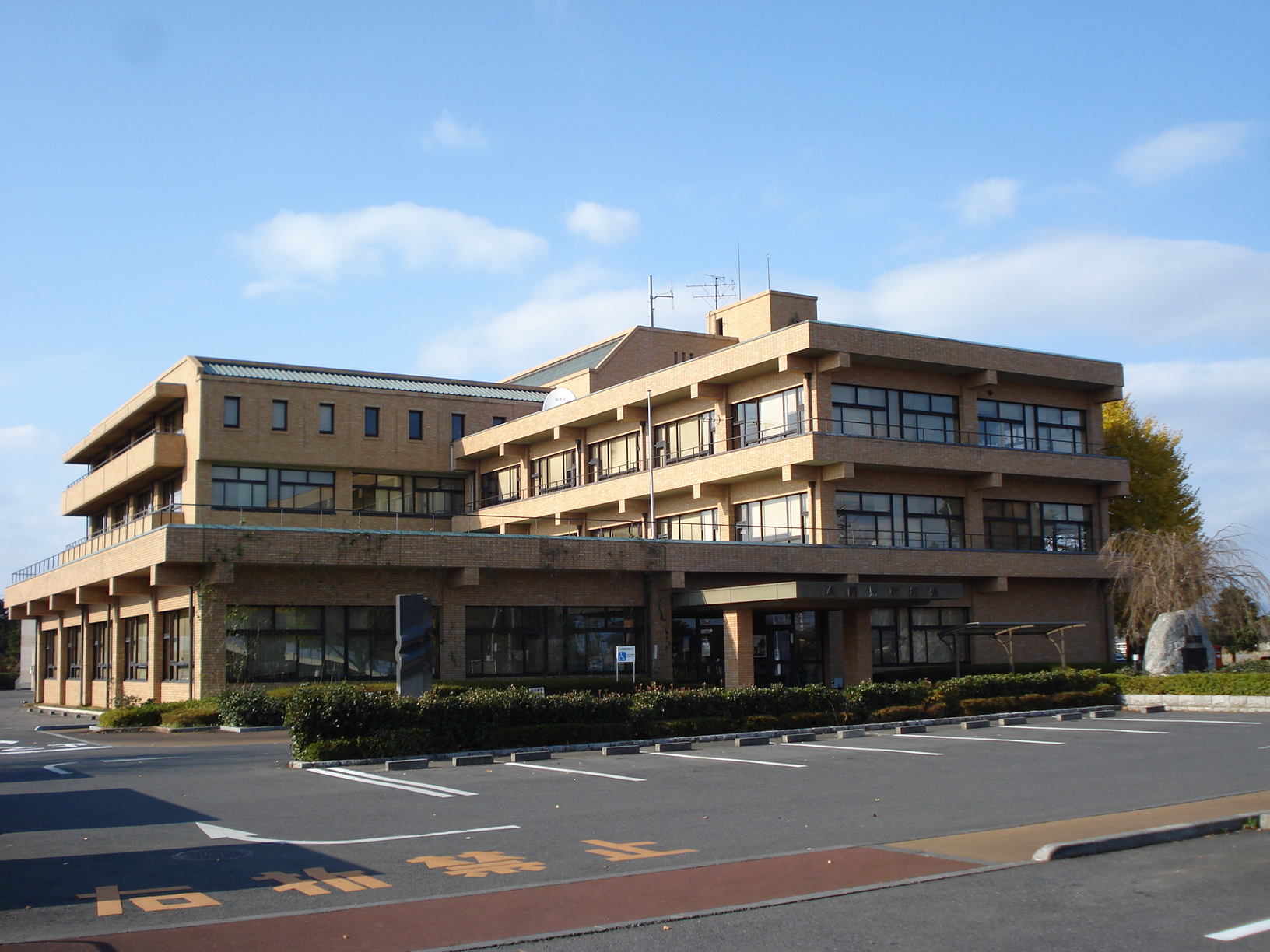 Ami town office | |
 Flag  Seal | |
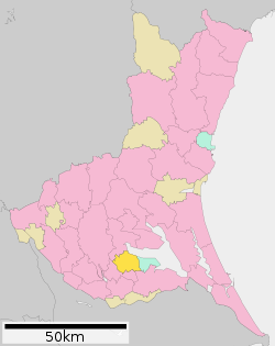 Location of Ami in Ibaraki Prefecture | |
 Ami | |
| Coordinates: 36°1′50.9″N 140°12′53.4″E | |
| Country | Japan |
| Region | Kantō |
| Prefecture | Ibaraki |
| District | Inashiki |
| Area | |
| • Total | 71.40 km2 (27.57 sq mi) |
| Population (October 2020) | |
| • Total | 47,927 |
| • Density | 670/km2 (1,700/sq mi) |
| Time zone | UTC+9 (Japan Standard Time) |
| - Tree | Sakura |
| - Flower | Chrysanthemum |
| - Bird | Japanese bush warbler |
| Phone number | 0296-48-1111 |
| Address | 1-1-1 Chuo, Ami-machi, Inashiki-gun, Ibaraki-ken 300-0332 |
| Website | Official website |

Geography
Located in southern Ibaraki Prefecture, Ami is bordered to the north by Lake Kasumigaura
Surrounding municipalities
Climate
Ami has a Humid continental climate (Köppen Cfa) characterized by warm summers and cool winters with light snowfall. The average annual temperature in Ami is 13.8 °C. The average annual rainfall is 1306 mm with September as the wettest month. The temperatures are highest on average in August, at around 25.7 °C, and lowest in January, at around 2.8 °C.[2]
Demographics
Per Japanese census data,[3] the population of Ami has recently plateaued after a long period of growth.
| Year | Pop. | ±% |
|---|---|---|
| 1950 | 20,859 | — |
| 1960 | 22,326 | +7.0% |
| 1970 | 24,904 | +11.5% |
| 1980 | 33,720 | +35.4% |
| 1990 | 42,192 | +25.1% |
| 2000 | 46,922 | +11.2% |
| 2010 | 47,940 | +2.2% |
| 2020 | 48,553 | +1.3% |
History
During the Edo period, the area around Ami was part of Hitachi Province. The villages of Ami, Kimihara, Asahi and Funashima were created with the establishment of the modern municipalities system on April 1, 1889. In 1921, the Imperial Japanese Navy established Kasumigaura Air Field, a naval aviation training base at Ami, with floatplane operations on nearby Kasumigaura. Zeppelin operations also began from 1929. In 1937, the Youth Aviation Squadron was transferred from Yokosuka. The base was repeatedly bombed in 1944 and 1945 during World War II, with the attack on June 10, 1945 killing over 300 people.
On April 1, 1955, the villages of Ami, Kimihara and Asahi merged to form the town of Ami. Most of the village of Funashima joined on April 20, 1955.
Government
Ami has a mayor-council form of government with a directly elected mayor and a unicameral town council of 18 members. Ami contributes one member to the Ibaraki Prefectural Assembly. In terms of national politics, the town is part of Ibaraki 6th district of the lower house of the Diet of Japan.
Economy
Ami has a mixed economy. Agriculture remains predominant; however, there are also numerous factories for chemicals, light manufacturing and electronics. The Japanese Ground Self-Defense Force also has a number of military installations in the town.
Education
- Ibaraki University – Department of Agriculture
- Ibaraki Prefectural University of Health Sciences
- Ami has seven public elementary schools and four public middle schools operated by the town government, and one public high school operated by the Ibaraki Prefectural Board of Education.
Transportation
Railway
- Ami does not have any passenger rail service. The nearest stations are Tsuchiura and Arakawaoki in neighboring Tsuchiura.
Highway
 Ken-Ō Expressway – Ushiku-Ami Interchange, Ami-Higashi Interchange
 National Route 125
Military facilities
- JGSDF Camp Tutiura
- JGSDF Ordnance School
- JGSDF Camp Kasumigaura
Local attractions
- site of Jojo Castle
- Yokaren Peace Memorial Museum
- Ami Premium Outlet Shopping Center
International relations
 – Superior, WI, USA – sister city since 1997 [4]
 – Liuzhou, Guangxi Zhuang Autonomous Region, China (friendship city) from June 1997 [5]
References
- "Ibaraki prefectural official statistics" (in Japanese). Japan.
- Ami climate data
- Ami population statistics
- Superior Sister City Commission HP
- "Ami International Exchange Association". Archived from the original on 2015-11-17. Retrieved 2015-11-14.
External links
![]() Media related to Ami, Ibaraki at Wikimedia Commons
Media related to Ami, Ibaraki at Wikimedia Commons
- Official Website (in Japanese)
Mito (capital) | ||
| Core city | ||
| Special city | ||
| Cities | ||
| Districts | ||
List of mergers in Ibaraki Prefecture | ||
На других языках
- [en] Ami, Ibaraki
[ru] Ами (посёлок)
Ами (яп. 阿見町 Ами-мати) — посёлок в Японии, находящийся в уезде Инасики префектуры Ибараки. Площадь посёлка составляет 71,39 км²[1], население — 47 899 человек (1 августа 2014)[2], плотность населения — 670,95 чел./км².Другой контент может иметь иную лицензию. Перед использованием материалов сайта WikiSort.org внимательно изучите правила лицензирования конкретных элементов наполнения сайта.
WikiSort.org - проект по пересортировке и дополнению контента Википедии