world.wikisort.org - Japan
Hitachiōmiya (常陸大宮市, Hitachiōmiya-shi) is a city located in Ibaraki Prefecture, Japan. As of 1 July 2020[update], the city had an estimated population of 39,281 in 16.047 households and a population density of 220 persons per km². The percentage of the population aged over 65 was 37.6%.[1] The total area of the city is 348.45 square kilometres (134.54 sq mi).
Hitachiōmiya
常陸大宮市 | |
|---|---|
City | |
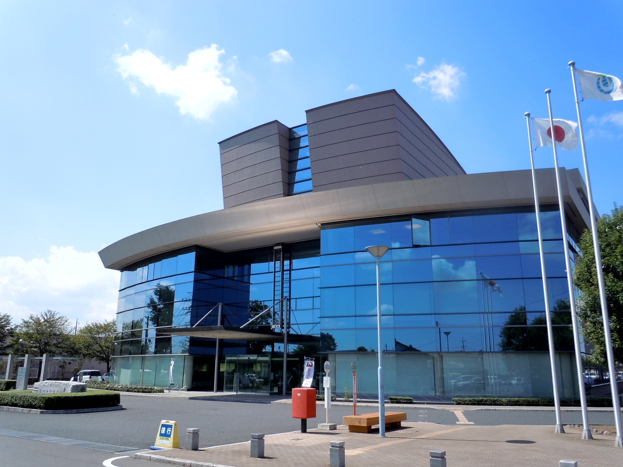 Hitachiōmiya city hall | |
 Flag  Seal | |
 Location of Hitachiōmiya in Ibaraki Prefecture | |
 Hitachiōmiya | |
| Coordinates: 36°32′33.1″N 140°24′39.2″E | |
| Country | Japan |
| Region | Kantō |
| Prefecture | Ibaraki |
| Area | |
| • Total | 348.45 km2 (134.54 sq mi) |
| Population (September 2020) | |
| • Total | 39,176 |
| • Density | 110/km2 (290/sq mi) |
| Time zone | UTC+9 (Japan Standard Time) |
| Phone number | 0295-52-1111 |
| Address | 3135-6 Nakatomi-chō, Hitachiōmiya-shi, Ibaraki-ken 319-2292 |
| Climate | Cfa |
| Website | Official website |
| Symbols | |
| Bird | Common kingfisher |
| Flower | Rose |
| Tree | Sakura |

Geography
Hitachiōmiya is located in the northwestern part of Ibaraki Prefecture, at the eastern foot of the Yamizo Mountains, with 59% of the city area classified as forest and mountains.[1] The Kuji River runs from north to south in the eastern part of the city, along which Japan National Route 118 and the JR Suigun Line pass. The city center is located in the southeast. The Naka River flows in the southwestern part of the city.
Surrounding municipalities
Ibaraki Prefecture
Tochigi Prefecture
- Nasukarasuyama
- Nakagawa
Climate
Hitachiōmiya has a Humid continental climate (Köppen Cfa) characterized by warm summers and cold winters with heavy snowfall. The average annual temperature in Hitachiōmiya is 12.9 °C (55.2 °F). The average annual rainfall is 1,363.7 mm (53.69 in) with September as the wettest month. The temperatures are highest on average in August, at around 24.7 °C (76.5 °F), and lowest in January, at around 1.6 °C (34.9 °F).[2]
| Climate data for Hitachiōmiya (1991−2020 normals, extremes 1978−present) | |||||||||||||
|---|---|---|---|---|---|---|---|---|---|---|---|---|---|
| Month | Jan | Feb | Mar | Apr | May | Jun | Jul | Aug | Sep | Oct | Nov | Dec | Year |
| Record high °C (°F) | 18.1 (64.6) |
23.0 (73.4) |
25.5 (77.9) |
30.1 (86.2) |
33.3 (91.9) |
34.5 (94.1) |
37.2 (99.0) |
37.0 (98.6) |
36.3 (97.3) |
33.0 (91.4) |
24.0 (75.2) |
24.7 (76.5) |
37.2 (99.0) |
| Average high °C (°F) | 8.8 (47.8) |
9.6 (49.3) |
12.9 (55.2) |
18.1 (64.6) |
22.5 (72.5) |
25.1 (77.2) |
28.8 (83.8) |
30.3 (86.5) |
26.7 (80.1) |
21.3 (70.3) |
16.1 (61.0) |
11.1 (52.0) |
19.3 (66.7) |
| Daily mean °C (°F) | 1.6 (34.9) |
2.6 (36.7) |
6.0 (42.8) |
11.2 (52.2) |
16.1 (61.0) |
19.7 (67.5) |
23.5 (74.3) |
24.7 (76.5) |
21.1 (70.0) |
15.3 (59.5) |
9.3 (48.7) |
3.9 (39.0) |
12.9 (55.3) |
| Average low °C (°F) | −4.2 (24.4) |
−3.5 (25.7) |
−0.2 (31.6) |
4.8 (40.6) |
10.3 (50.5) |
15.4 (59.7) |
19.7 (67.5) |
20.7 (69.3) |
17.0 (62.6) |
10.5 (50.9) |
3.7 (38.7) |
−1.8 (28.8) |
7.7 (45.9) |
| Record low °C (°F) | −11.8 (10.8) |
−12.3 (9.9) |
−9.0 (15.8) |
−5.0 (23.0) |
−0.4 (31.3) |
6.1 (43.0) |
10.7 (51.3) |
11.1 (52.0) |
5.8 (42.4) |
−1.0 (30.2) |
−4.7 (23.5) |
−9.2 (15.4) |
−12.3 (9.9) |
| Average precipitation mm (inches) | 40.3 (1.59) |
44.4 (1.75) |
89.0 (3.50) |
112.6 (4.43) |
136.4 (5.37) |
147.9 (5.82) |
184.2 (7.25) |
149.5 (5.89) |
187.0 (7.36) |
159.9 (6.30) |
72.6 (2.86) |
42.1 (1.66) |
1,363.7 (53.69) |
| Average precipitation days (≥ 1.0 mm) | 4.5 | 5.3 | 8.9 | 10.1 | 11.4 | 12.7 | 13.3 | 10.4 | 11.7 | 10.6 | 7.0 | 5.0 | 110.9 |
| Mean monthly sunshine hours | 203.8 | 189.5 | 196.1 | 192.5 | 188.9 | 134.9 | 145.4 | 170.9 | 136.6 | 149.4 | 165.7 | 191.6 | 2,063 |
| Source: Japan Meteorological Agency[3][2] | |||||||||||||
Demographics
Per Japanese census data,[4] the population of Hitachiōmiya has been declining over the past 70 years.
| Year | Pop. | ±% |
|---|---|---|
| 1950 | 69,209 | — |
| 1960 | 61,238 | −11.5% |
| 1970 | 52,500 | −14.3% |
| 1980 | 50,332 | −4.1% |
| 1990 | 49,670 | −1.3% |
| 2000 | 48,964 | −1.4% |
| 2010 | 45,178 | −7.7% |
| 2020 | 39,267 | −13.1% |
History
The town of Ōmiya was created within Naka District with the establishment of the modern municipalities system on April 1, 1889. The city of Hitachiōmiya was established on October 16, 2004, from the merger of Ōmiya with the neighboring villages of Miwa and Ogawa (all from Naka District), the town of Yamagata, and the village of Gozenyama (both from Higashiibaraki District).
Government
Hitachiōmiya has a mayor-council form of government with a directly elected mayor and a unicameral city council of 18 members. Hitachiōmiya contributes one member to the Ibaraki Prefectural Assembly. In terms of national politics, the city is divided between Ibaraki 1st district and Ibaraki 5th district of the lower house of the Diet of Japan.
Economy
The economy of Hitachiōmiya is primarily agricultural.
Education
Hitachiōmiya has 11 public elementary schools and five public middle schools operated by the city government, and two public high schools operated by the Ibaraki Prefectural Board of Education.
Transportation
Railway
![]() JR East –Suigun Line
JR East –Suigun Line
Highway
 National Route 118
 National Route 123
 National Route 293
Local attractions
This section needs expansion. You can help by adding to it. (November 2015) |
Notable people from Hitachiōmiya
- Miho Shiraishi, actress
- Dōmei Yakazu, physician
References
- "Ibaraki prefectural official statistics" (in Japanese). Japan.
- 気象庁 / 平年値(年・月ごとの値). JMA. Retrieved March 31, 2022.
- 観測史上1~10位の値(年間を通じての値). JMA. Retrieved March 31, 2022.
- Hitachiōmiya population statistics
External links
![]() Media related to Hitachiōmiya, Ibaraki at Wikimedia Commons
Media related to Hitachiōmiya, Ibaraki at Wikimedia Commons
- Official Website (in Japanese)
Mito (capital) | ||
| Core city | ||
| Special city | ||
| Cities | ||
| Districts | ||
List of mergers in Ibaraki Prefecture | ||
На других языках
[de] Hitachi-Ōmiya
Hitachi-Ōmiya (jap. .mw-parser-output .Hani{font-size:110%}常陸大宮市, -shi) ist eine Stadt in Japan in der Präfektur Ibaraki.- [en] Hitachiōmiya
[es] Hitachiōmiya (Ibaraki)
Hitachiōmiya (常陸大宮市, Hitachiōmiya-shi?) es una ciudad situada en la Prefectura de Ibaraki, en Japón.[ru] Хитатиомия
Хитатиомия (яп. 常陸大宮市 Хитатио:мия-си) — город в Японии, находящийся в префектуре Ибараки. Площадь города составляет 348,38 км²[1], население — 43 033 человека (1 августа 2014)[2], плотность населения — 123,52 чел./км².Другой контент может иметь иную лицензию. Перед использованием материалов сайта WikiSort.org внимательно изучите правила лицензирования конкретных элементов наполнения сайта.
WikiSort.org - проект по пересортировке и дополнению контента Википедии