world.wikisort.org - India
Khordha district is an administrative division of the state of Odisha, India. It was formed on April 1, 1993, by the division of former Puri District into Puri, Khordha and Nayagarh districts. In the year 2000 the district name was changed to Khordha. The district headquarters is Khordha Town. The capital city of Bhubaneswar is located in this district.[4] Khordha is the most urbanized of all the districts of Odisha.
This article uses bare URLs, which are uninformative and vulnerable to link rot. (August 2022) |
Khordha district
Khurda | |
|---|---|
District of Odisha | |
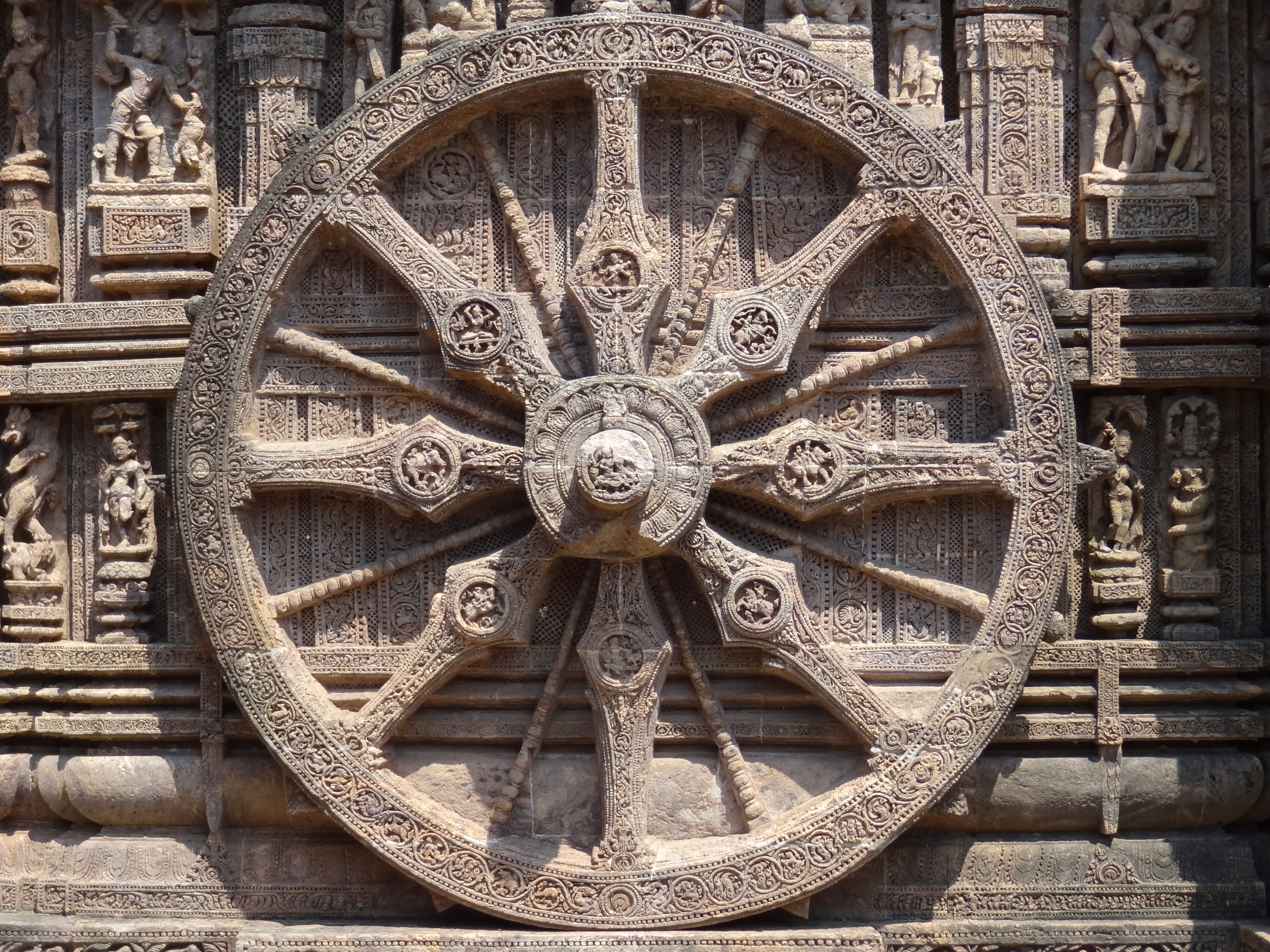
     Clockwise from top-left: Mukhteshwar Temple, Vishwa Shanti Stupa in Dhauligiri, Rajarani Temple, Barunei Hill, Hathigumpha Cave at Udayagiri Caves | |
| Nickname: Paika District of Odisha[citation needed] | |
 Location in Odisha | |
 Khordha district | |
| Coordinates: 20.166°N 85.666°E | |
| Country | |
| State | |
| Headquarters | Khordha |
| Government | |
| • Collector & District Magistrate | K Sudarshan Chakravarthy, IAS[1][2][dead link] |
| • Superintendent of Police | Raj Kishore Dora, OPS(S) |
| Area | |
| • Total | 2,813 km2 (1,086 sq mi) |
| Population (2011)[3] | |
| • Total | 2,251,673 |
| • Density | 800/km2 (2,100/sq mi) |
| Languages | |
| • Official | Odia, English |
| Time zone | UTC+5:30 (IST) |
| PIN | 751 xxx, 752 xxx |
| Telephone code | 674, 6755, 6756 |
| Vehicle registration | OD-02/OD-33 |
| Nearest city | Bhubaneswar |
| Sex ratio | 1.108 ♂/♀ |
| Literacy | 87.51% |
| Lok Sabha constituency | 2 |
| Vidhan Sabha constituency | 6 |
| Climate | Aw (Köppen) |
| Precipitation | 1,443 millimetres (56.8 in) |
| Avg. summer temperature | 41.4 °C (106.5 °F) |
| Avg. winter temperature | 9.5 °C (49.1 °F) |
| Website | www |
| This article is part of a series on |
| Odisha |
|---|
 |
| Governance |
|
| Topics |
|
|
Districts Divisions |
| GI Products |
|
|
|
Khordha Road, the railway station that serves the town, is also the divisional headquarters of the East Coast Railway of the Indian Railways, and contains its own division. Khordha is known for its brass utensils, cottage industries, railway coach manufacturing and cable manufacturing unit and counsumer food manufacturing unit of various MNCs like Coca-cola,Pepsi,Uniliver,ITC etc.
History
This section does not cite any sources. (August 2021) |
It was the capital of Odisha from 1568 to 1803. It is also known for its fort, often described as the "last independent fort". The commander who kept it free from British East India Company was ), Bakshi Jagabandhu, popularly called 'Paika Bakshi'.
The Savaras tribal group, who are still to be found in the district in some pockets, once heavily populated the area. Khurda came into prominence when the first Rajas of the Khordha dynasty, Ramachandra Deva, made it the capital of his kingdom during the latter part of the 16th century. Khurda suffered repeated onslaughts from Muslim and Maratha cavalry but its royal house retained independence till 1804, when the British East India Company dispossessed Raja of his territory following the Second Anglo-Maratha War.
British government took Odisha under its rule in 1803 but could only include Khurda in 1827. The Paikas of Khurda are known for protesting against the British rule in Odisha.
Geography
It is also the district headquarters of Khurda district located at 20.11° N 85.40° E. The area of the district is 2,813 km2 (1,086 sq mi).[4] The district is bordered by Cuttack district to the north and east, Puri district to the south, Ganjam district to the west, and Nayagarh district to the northwest. The Daya and Kuakhai Rivers flow through Khurda. The forested area is 618.67 km2 (238.87 sq mi).[5] The district is mainly flat coastal plain, with some hill ranges in the west. It borders the Chilika Lake.
Climate
| Bhubaneswar | ||||||||||||||||||||||||||||||||||||||||||||||||||||||||||||
|---|---|---|---|---|---|---|---|---|---|---|---|---|---|---|---|---|---|---|---|---|---|---|---|---|---|---|---|---|---|---|---|---|---|---|---|---|---|---|---|---|---|---|---|---|---|---|---|---|---|---|---|---|---|---|---|---|---|---|---|---|
| Climate chart (explanation) | ||||||||||||||||||||||||||||||||||||||||||||||||||||||||||||
| ||||||||||||||||||||||||||||||||||||||||||||||||||||||||||||
| ||||||||||||||||||||||||||||||||||||||||||||||||||||||||||||
Economy
It is renowned for its brass utensils cottage industries, cable factory, spinning mills, watch repairing factory, railway coach repairing factory, oil industries, Coca-Cola bottling plant and small metal industries, or sms group, Iocl gas bottling plant.
Divisions
- Parliamentary constituencies: 2
- Assembly constituencies: 6
- Subdivisions: 2[5]
- Villages: 1,561[5]
- Blocks: 10[5]
- Grama panchayat: 168[5]
- Tehsils: 08[5]
- Towns: 6[5]
Tehsils
- Balianta
- Balipatna
- Banapur
- Begunia
- Bhubaneswar
- Bolagarh
- Chilika
- Jatni
- Khordha
- Tangi
Subdivisions
- Bhubaneswar: consists of 4 blocks, viz. Balianta, Balipatana, Jatni, Bhubaneswar.
- Khurda: consists of 6 blocks, viz. Tangi, Khorda sadara, Banapur, Begunia, Bolgarh and Chilika.
Demographics
According to the 2011 census Khordha district has a population of 2,251,673,[3] roughly equal to the nation of Latvia[7] or the US state of New Mexico.[8] This gives it a ranking of 201st in India (out of a total of 640).[3] The district has a population density of 799 inhabitants per square kilometre (2,070/sq mi).[3] Its population growth rate over the decade 2001-2011 was 19.65%.[3] Khordha has a sex ratio of 925 females for every 1000 males,[3] and a literacy rate of 87.51%. Scheduled Castes and Scheduled Tribes make up 13.21% and 5.11% of the population respectively.[3]
At the time of the 2011 Census of India, 92.13% of the population in the district spoke Odia, 1.98% Urdu, 1.69% Telugu, 1.55% Hindi, 1.38% Bengali and 0.43% Santali as their first language.[9]
| Year | Pop. | ±% p.a. |
|---|---|---|
| 1901 | 470,409 | — |
| 1911 | 479,645 | +0.19% |
| 1921 | 431,482 | −1.05% |
| 1931 | 478,128 | +1.03% |
| 1941 | 516,719 | +0.78% |
| 1951 | 557,718 | +0.77% |
| 1961 | 658,073 | +1.67% |
| 1971 | 858,554 | +2.70% |
| 1981 | 1,132,182 | +2.81% |
| 1991 | 1,502,014 | +2.87% |
| 2001 | 1,877,395 | +2.26% |
| 2011 | 2,251,673 | +1.83% |
| source:[10] | ||
Politics
Vidhan sabha constituencies
The following are the eight Vidhan sabha constituencies[11][12] of Khordha district and the elected members[13] of that area
| No. | Constituency | Reservation | Extent of the Assembly Constituency (blocks) | Member of 14th Assembly | Party |
|---|---|---|---|---|---|
| 111 | Jayadev | SC | Balianta, Balipatna | Arabinda Dhali | BJD |
| 112 | Bhubaneswar Central | None | Bhubaneswar MC Ward No. 16 to 29 and 35 to 37 | Bijaya Kumar Mohanty | BJD |
| 113 | Bhubaneswar North | None | Bhubaneswar (MC) (part), Bhubaneswar (part) | Priyadarshi Mishra | BJD |
| 114 | Ekamra-Bhubaneswar | None | Bhubaneswar (MC) (part), Bhubaneswar (part) | Ashok Chandra Panda | BJD |
| 115 | Jatani | None | Jatani (M), Jatani, Khurda (PART), Bhubaneswar (part) | Suresh Kumar Routray | INC |
| 116 | Begunia | None | Begunia, Bologarh | Raja Sahoo | BJD |
| 117 | Khurda | None | Khurda (M), Tangi, Khurda (part) | Yotirindra Nath Mitra | BJD |
| 118 | Chilika | None | Balugaon (NAC), Banapur (NAC), Chilika, Banapur, | Prasant Jagdev | BJD |
Lok Sabha constituencies
During 1952 general election, Pandit Lingraj Mishra was elected from the Khurda (Lok Sabha constituency). 1957 onwards members were elected from Bhubaneswar (Lok Sabha constituency).[14]
References
- IAS K Sudarshan Chakravarthy Appointed As New Khordha Collector || KalingaTV, retrieved 2022-11-11
- https://kalingatv.com/breaking/odisha-govt-affects-ias-reshuffle-today-k-sudarshan-chakravarthy-becomes-khordha-collector-cmc-commissioner-ananya-das-appointed-sambalpur-collector/
- "District Census Handbook 2011 - Khordha" (PDF). Census of India. Registrar General and Census Commissioner of India.
- Swain, S; et al. (2018). "Development of an ARIMA Model for Monthly Rainfall Forecasting over Khordha District, Odisha, India". Recent Findings in Intelligent Computing Techniques. Recent Findings in Intelligent Computing Techniques (Advances in Intelligent Systems and Computing. Advances in Intelligent Systems and Computing. Vol. 708. pp. 325–331). doi:10.1007/978-981-10-8636-6_34. ISBN 978-981-10-8635-9.
- "Introduction". Khordha district official website. Archived from the original on 2008-10-02. Retrieved 2008-09-12.
- "Table C-01 Population by Religious Community: Odisha". Census of India, 2011. Registrar General and Census Commissioner of India.
- US Directorate of Intelligence. "Country Comparison: Population". Archived from the original on June 13, 2007. Retrieved 2011-10-01.
Latvia 2,204,708 July 2011 est.
- "2010 Resident Population Data". U. S. Census Bureau. Archived from the original on 2013-10-19. Retrieved 2011-09-30.
New Mexico - 2,059,179
- "Table C-16 Population by Mother Tongue: Odisha". Census of India 2011. Registrar General and Census Commissioner of India.
- Decadal Variation In Population Since 1901
- Assembly Constituencies and their EXtent
- Seats of Odisha
- "List of Member in Fourteenth Assembly". ws.ori.nic.in. Archived from the original on 2 May 2007. Retrieved 19 February 2013.
- "First Lok Sabha - State wise Details - Odisha". Retrieved 20 December 2017.
External links
Places adjacent to Khordha district | ||||||||||||||||
|---|---|---|---|---|---|---|---|---|---|---|---|---|---|---|---|---|
| ||||||||||||||||
Capital: Bhubaneswar | |||||||
| State symbols |
|  | |||||
| Governance |
| ||||||
| History |
| ||||||
| Geography |
| ||||||
| Districts by division |
| ||||||
| Cities | |||||||
| GI products |
| ||||||
| Topics | |||||||
Authority control | |
|---|---|
| General |
|
| National libraries | |
На других языках
[de] Khordha (Distrikt)
Der Distrikt Khordha (Oriya ଖୋର୍ଦ୍ଧା ଜିଲ୍ଲା .mw-parser-output .Latn{font-family:"Akzidenz Grotesk","Arial","Avant Garde Gothic","Calibri","Futura","Geneva","Gill Sans","Helvetica","Lucida Grande","Lucida Sans Unicode","Lucida Grande","Stone Sans","Tahoma","Trebuchet","Univers","Verdana"}Khōrd'dhā Jillā; Hindi .mw-parser-output .Deva{font-size:120%}@media all and (min-width:800px){.mw-parser-output .Deva{font-size:calc(120% - ((100vw - 800px)/80))}}@media all and (min-width:1000px){.mw-parser-output .Deva{font-size:100%}}खुर्दा जिला; alter Name: Khurda) ist ein Distrikt im indischen Bundesstaat Odisha.- [en] Khordha district
[ru] Кхурда (округ)
Кхурда (англ. Khurda), с 2000 года — Кхордха (англ. Khordha) — округ в индийском штате Орисса. Образован 1 апреля 1993 года в результате реорганизации округов штата. Административный центр — город Кхурда. На территории округа расположена столица штата Орисса — город Бхубанешвар. Площадь округа — 2887 км². По данным всеиндийской переписи 2001 года население округа составляло 1 877 395 человек. Уровень грамотности взрослого населения составлял 79,6 %, что значительно выше среднеиндийского уровня (59,5 %). Доля городского населения составляла 42,9 %.Другой контент может иметь иную лицензию. Перед использованием материалов сайта WikiSort.org внимательно изучите правила лицензирования конкретных элементов наполнения сайта.
WikiSort.org - проект по пересортировке и дополнению контента Википедии