world.wikisort.org - India
Korba District is an administrative district of Chhattisgarh state in central India. The headquarter of this district is Korba.
Korba district | |
|---|---|
District of Chhattisgarh | |
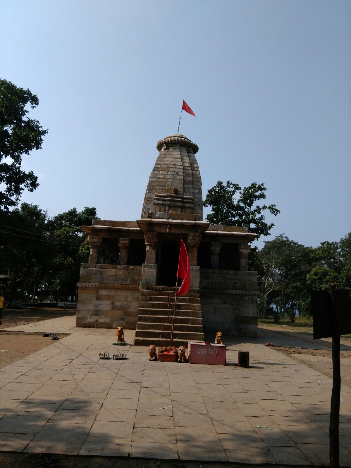 Temple in Chaiturgarh | |
 Korba district Location in Chhattisgarh | |
| Country | |
| State | Chhattisgarh |
| Division | Bilaspur |
| Headquarters | Korba |
| Area | |
| • Total | 6,598 km2 (2,548 sq mi) |
| Population (2011) | |
| • Total | 1,206,640 |
| • Density | 180/km2 (470/sq mi) |
| Demographics | |
| • Literacy | 73.22 per cent |
| Time zone | UTC+05:30 (IST) |
| Website | korba |
History
The district is named for the Korwa tribe that inhabits the northern part of Chhattisgarh.
Korba was formerly known as Gourigarh. The district was originally ruled by the Haihaiyas until it was conquered by the Marathas during their expansion into Chhattisgarh. Various parts of the district were controlled by small zamindars belonging to a variety of communities such as Gond and Kanwar. The Korwas managed to overthrow the rulers of Gourigarh and ruled the region until being displaced by the Rajputs under Ratan Singh. These rulers managed to retain their lands during the arrival of Marathas and British. In 1861 Korba became part of the newly-formed Bilaspur district.
Geography
The district is situated in the Northern part of the state, at the point where the Chhattisgarh plain meets the Surguja plateau. The south of the district is the northern end of the Chhattisgarh plain. In the west, these plains meet an extension of the Maikal Hills that separate the lowlands from the plateau. In the east is located the Deopahadi Range. These heavily-forested hills are divided by the valley of the Hasdeo River. The area's most important hill is Karela Hill with a height of 3,253 feet (992 m). To the north of Katghora, the slope of the valleys of the Hasdeo and Gage is very less[clarification needed] and joins the Surguja District in the north. The Tan and Chorai Rivers joins the River Hasdeo from opposite directions - from the east and the west. Towards the northern banks are the Gurudwari Hill, Janta Hill, Matin and Dhajag Hills.
Korba is known for its coal mines such as Gevra Area (one of the biggest coal mines of Asia), Kusmunda Area and Dipka Area, all located in Korba Coalfield. It also has power plants such as NTPC, CSEB, and Bharat Aluminium Company (BALCO).
Demographics
According to the 2011 census, Korba district has a population of 1,206,640,[1] roughly equal to the nation of Bahrain[2] or the US state of New Hampshire out of which 612,915 are male and 593,725 are female.[3] This gives it a ranking of 395th in India (out of a total of 640).[1] The district has a population density of 183 inhabitants per square kilometre (470/sq mi).[1] Its population growth rate over the decade 2001-2011 was 19.25%.[1] Korba has a sex ratio of 971 females for every 1000 males,[1] and a literacy rate of 73.22%. Scheduled Castes and Scheduled Tribes made up 10.33% and 40.90% of the population respectively.[1]
Languages of Korba district (2011)
At the time of the 2011 Census of India, 82.68% of the population in the district spoke Chhattisgarhi, 11.61% Hindi and 1.00% Kurukh as their first language.[5]
Culture
The district is known for its tribal culture. The largest tribes are the Gonds and Kawars, with smaller numbers of Kurukh, Binjhwar, Dhanwar and Majhwar.
Korba is famous for its cultural diversity. The people celebrate all the festivals with great enthusiasm.
Mainly Pahari Korva and Birhore tribes are major tribe community of district. They generally habitual of living in isolation. They live in hilly and forest areas.
The main tribal festival are Dev Uthani, Pola, Chherchhera, Karma, and Hareli.
Hareli is celebrated during the month of monsoon. Farmers celebrate this festival, it is also known as Hariyali.
Pola is another festival celebrated by peoples, During the festival clay made bullocks are worshiped.
Panthi Dance, Raut Nacha, Karma Nacha, Baar Nacha, and Suwa are the traditional dances of the district.
References
- "District Census 2011". Census2011.co.in. 2011. Retrieved 30 September 2011.
- US Directorate of Intelligence. "Country Comparison: Population". Archived from the original on 13 June 2007. Retrieved 1 October 2011.
Bahrain 1,214,705 July 2011 est.
- "2010 Resident Population Data". U. S. Census Bureau. Archived from the original on 19 October 2013. Retrieved 30 September 2011.
New Hampshire 1,316,470
- "C-16 Population By Religion - Chhattisgarh". census.gov.in. Office of the Registrar General & Census Commissioner, India.
- 2011 Census of India, Population By Mother Tongue
[6] www.korba.gov.in
External links
- Official website
- Korba government website
- Power production in Korba, from the Chhattisgarh state website
Places adjacent to Korba district | ||||||||||||||||
|---|---|---|---|---|---|---|---|---|---|---|---|---|---|---|---|---|
| ||||||||||||||||
Capital: Raipur (Current) Naya Raipur (Future) | ||
| Governance |
|  |
| Topics |
| |
| Divisions |
| |
| Districts |
| |
| Cities | ||
| ||
| Authority control |
|
|---|
На других языках
- [en] Korba district
[ru] Корба (округ)
Корба (англ. Korba) — округ в индийском штате Чхаттисгарх. Образован 25 мая 1998 года. Административный центр — город Корба. Площадь округа — 6599 км². По данным всеиндийской переписи 2001 года население округа составляло 1 011 823 человека. Уровень грамотности взрослого населения составлял 61,7 %, что немного выше среднеиндийского уровня (59,5 %). Доля городского населения составляла 36,3 %.Другой контент может иметь иную лицензию. Перед использованием материалов сайта WikiSort.org внимательно изучите правила лицензирования конкретных элементов наполнения сайта.
WikiSort.org - проект по пересортировке и дополнению контента Википедии