world.wikisort.org - France
Saint-Outrille (French pronunciation: [sɛ̃.t‿utʁij]) is a commune in the Cher department in the Centre-Val de Loire region of France. It is named after the 7th century Saint Austregisilus.
Saint-Outrille | |
|---|---|
Commune | |
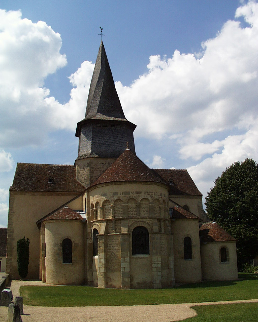 The collegiate church of Saint-Austrégésile, in Saint-Outrille | |
Location of Saint-Outrille  | |
 Saint-Outrille  Saint-Outrille | |
| Coordinates: 47°08′41″N 1°50′28″E | |
| Country | France |
| Region | Centre-Val de Loire |
| Department | Cher |
| Arrondissement | Vierzon |
| Canton | Vierzon-2 |
| Intercommunality | CC Vierzon-Sologne-Berry et Villages de la Forêt |
| Government | |
| • Mayor (2020–2026) | Alain Lebranchu[1] |
| Area 1 | 12.48 km2 (4.82 sq mi) |
| Population | 218 |
| • Density | 17/km2 (45/sq mi) |
| Time zone | UTC+01:00 (CET) |
| • Summer (DST) | UTC+02:00 (CEST) |
| INSEE/Postal code | 18228 /18310 |
| Elevation | 97–151 m (318–495 ft) (avg. 106 m or 348 ft) |
| 1 French Land Register data, which excludes lakes, ponds, glaciers > 1 km2 (0.386 sq mi or 247 acres) and river estuaries. | |
Geography
An area of farmland, forests and a village suburb on the left bank of the Fouzon river, which forms the boundary with the much larger village of Graçay, situated about 12 miles (19 km) southwest of Vierzon near the junction of the D68 with the D83 and D922 roads. The commune borders the department of Indre.
Population
| Year | Pop. | ±% |
|---|---|---|
| 1962 | 273 | — |
| 1968 | 284 | +4.0% |
| 1975 | 294 | +3.5% |
| 1982 | 288 | −2.0% |
| 1990 | 259 | −10.1% |
| 1999 | 203 | −21.6% |
| 2008 | 216 | +6.4% |
Sights
- The church of St. Austrégesile, dating from the twelfth century.
See also
References
- "Répertoire national des élus: les maires". data.gouv.fr, Plateforme ouverte des données publiques françaises (in French). 9 August 2021.
- "Populations légales 2019". The National Institute of Statistics and Economic Studies. 29 December 2021.
Wikimedia Commons has media related to Saint-Outrille.
На других языках
- [en] Saint-Outrille
[es] Saint-Outrille
Saint-Outrille es una población y comuna francesa, situada en la región de Centro, departamento de Cher, en el distrito de Vierzon y cantón de Graçay.[ru] Сент-Утрий
Сент-Утри́й (фр. Saint-Outrille) — коммуна во Франции, находится в регионе Центр. Департамент — Шер. Входит в состав кантона Грасе. Округ коммуны — Вьерзон.Текст в блоке "Читать" взят с сайта "Википедия" и доступен по лицензии Creative Commons Attribution-ShareAlike; в отдельных случаях могут действовать дополнительные условия.
Другой контент может иметь иную лицензию. Перед использованием материалов сайта WikiSort.org внимательно изучите правила лицензирования конкретных элементов наполнения сайта.
Другой контент может иметь иную лицензию. Перед использованием материалов сайта WikiSort.org внимательно изучите правила лицензирования конкретных элементов наполнения сайта.
2019-2026
WikiSort.org - проект по пересортировке и дополнению контента Википедии
WikiSort.org - проект по пересортировке и дополнению контента Википедии