world.wikisort.org - France
Osmery (French pronunciation: [omʁi]) is a commune in the Cher department in the Centre-Val de Loire region of France.
Osmery | |
|---|---|
Commune | |
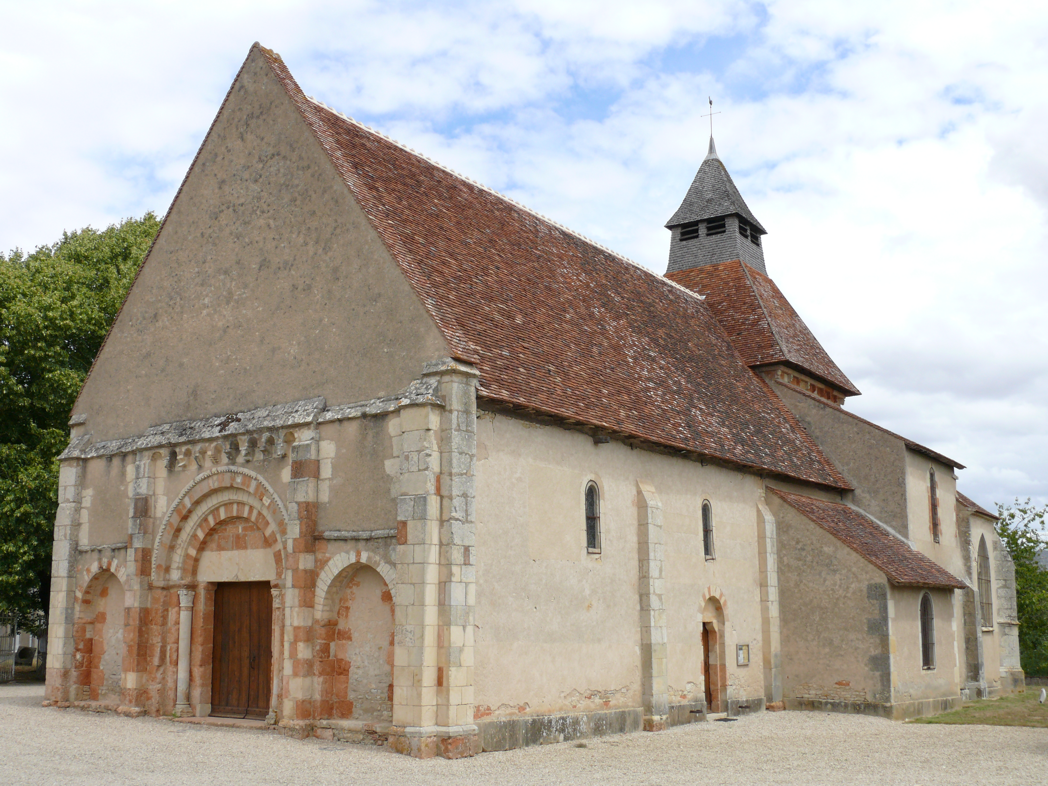 The church of Saint-Julien, in Osmery | |
Location of Osmery  | |
 Osmery  Osmery | |
| Coordinates: 46°56′08″N 2°39′21″E | |
| Country | France |
| Region | Centre-Val de Loire |
| Department | Cher |
| Arrondissement | Saint-Amand-Montrond |
| Canton | Dun-sur-Auron |
| Intercommunality | CC Le Dunois |
| Government | |
| • Mayor (2020–2026) | Alain Desjean[1] |
| Area 1 | 21.27 km2 (8.21 sq mi) |
| Population | 246 |
| • Density | 12/km2 (30/sq mi) |
| Time zone | UTC+01:00 (CET) |
| • Summer (DST) | UTC+02:00 (CEST) |
| INSEE/Postal code | 18173 /18130 |
| Elevation | 161–199 m (528–653 ft) (avg. 169 m or 554 ft) |
| 1 French Land Register data, which excludes lakes, ponds, glaciers > 1 km2 (0.386 sq mi or 247 acres) and river estuaries. | |
Geography
A farming area comprising a village and several hamlets situated some 16 miles (26 km) southeast of Bourges, near the junction of the D10 with the D2076 and D166 roads. The village lies on the right bank of the Airain, which flows west-northwest through the southern part of the commune.
Population
| Year | Pop. | ±% |
|---|---|---|
| 1962 | 435 | — |
| 1968 | 419 | −3.7% |
| 1975 | 371 | −11.5% |
| 1982 | 309 | −16.7% |
| 1990 | 276 | −10.7% |
| 1999 | 254 | −8.0% |
| 2008 | 266 | +4.7% |
Sights
- The church of St. Julien, dating from the twelfth century
- The fifteenth-century chateau of Défens
- A seventeenth-century chapel
See also
References
- "Répertoire national des élus: les maires". data.gouv.fr, Plateforme ouverte des données publiques françaises (in French). 9 August 2021.
- "Populations légales 2019". The National Institute of Statistics and Economic Studies. 29 December 2021.
External links
Wikimedia Commons has media related to Osmery.
- Annuaire Mairie website (in French)
- Osmery.fr (in French)
На других языках
- [en] Osmery
[ru] Омери
Омери́ (фр. Osmery) — коммуна во Франции, находится в регионе Центр. Департамент — Шер. Входит в состав кантона Дён-сюр-Орон. Округ коммуны — Сент-Аман-Монтрон.Текст в блоке "Читать" взят с сайта "Википедия" и доступен по лицензии Creative Commons Attribution-ShareAlike; в отдельных случаях могут действовать дополнительные условия.
Другой контент может иметь иную лицензию. Перед использованием материалов сайта WikiSort.org внимательно изучите правила лицензирования конкретных элементов наполнения сайта.
Другой контент может иметь иную лицензию. Перед использованием материалов сайта WikiSort.org внимательно изучите правила лицензирования конкретных элементов наполнения сайта.
2019-2026
WikiSort.org - проект по пересортировке и дополнению контента Википедии
WikiSort.org - проект по пересортировке и дополнению контента Википедии