world.wikisort.org - France
Bruère-Allichamps (French pronunciation: [bʁyɛʁ aliʃɑ̃]) is a commune in the Cher department, Centre-Val de Loire, France.
Bruère-Allichamps | |
|---|---|
Commune | |
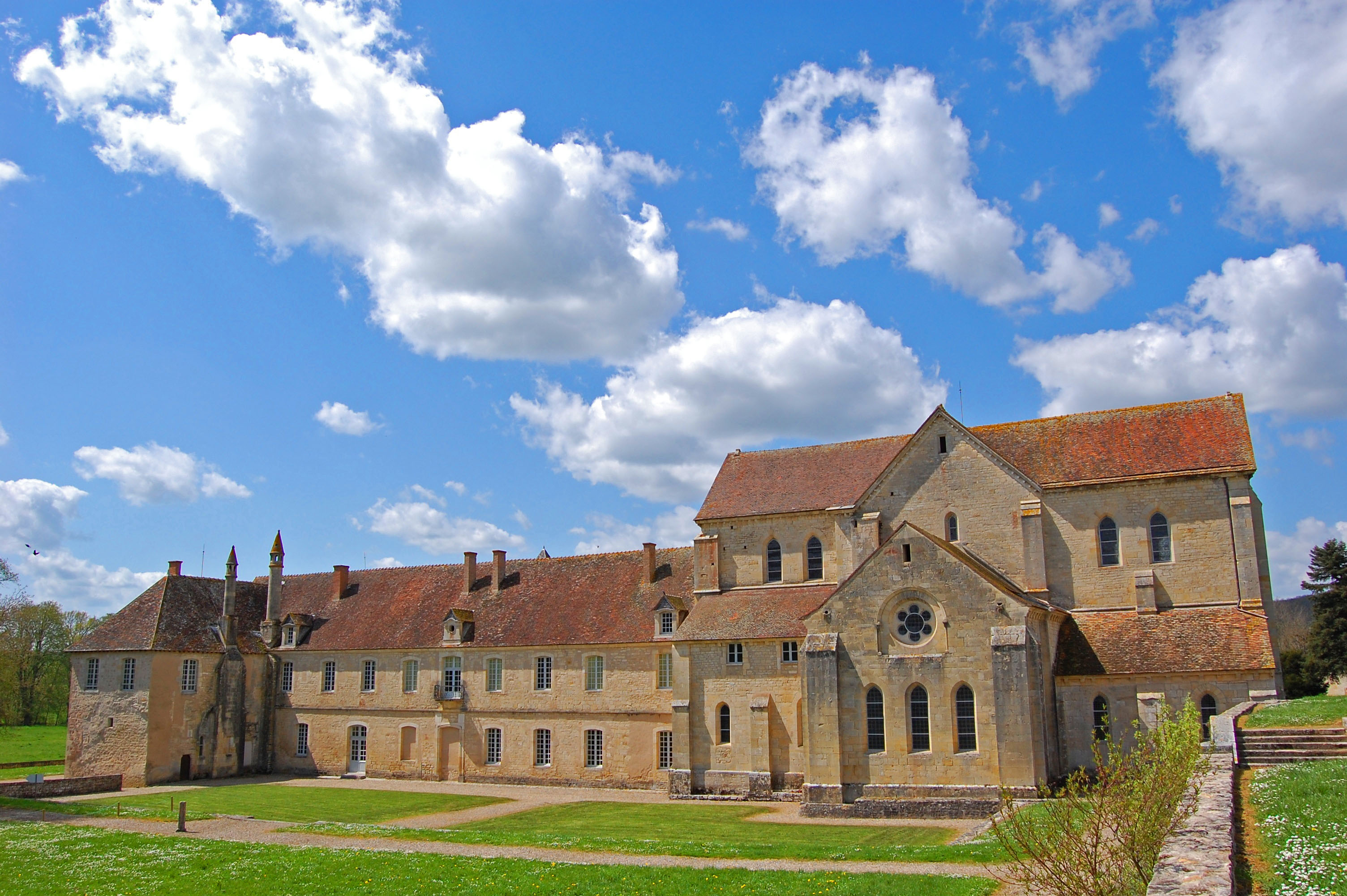 Noirlac Abbey | |
 Coat of arms | |
Location of Bruère-Allichamps  | |
 Bruère-Allichamps  Bruère-Allichamps | |
| Coordinates: 46°46′09″N 2°26′39″E | |
| Country | France |
| Region | Centre-Val de Loire |
| Department | Cher |
| Arrondissement | Saint-Amand-Montrond |
| Canton | Saint-Amand-Montrond |
| Intercommunality | Cœur de France |
| Government | |
| • Mayor (2020–2026) | Roger Dagher |
| Area 1 | 13.9 km2 (5.4 sq mi) |
| Population | 567 |
| • Density | 41/km2 (110/sq mi) |
| Time zone | UTC+01:00 (CET) |
| • Summer (DST) | UTC+02:00 (CEST) |
| INSEE/Postal code | 18038 /18200 |
| Elevation | 137–217 m (449–712 ft) (avg. 200 m or 660 ft) |
| 1 French Land Register data, which excludes lakes, ponds, glaciers > 1 km2 (0.386 sq mi or 247 acres) and river estuaries. | |
Geography
An area of forestry, farming and a little light industry comprising the village and a couple of hamlets in the Cher valley 25 miles (40 km) south of Bourges at the junction of the D2144 with the D92 and D35 roads. The A71 autoroute runs through the northern part of the commune’s territory. The village is one of seven places claiming to be the geographical centre of France (excluding Corsica and Overseas France).[citation needed]
Population
| Year | Pop. | ±% |
|---|---|---|
| 1962 | 603 | — |
| 1968 | 669 | +10.9% |
| 1975 | 649 | −3.0% |
| 1982 | 631 | −2.8% |
| 1990 | 609 | −3.5% |
| 1999 | 573 | −5.9% |
| 2008 | 609 | +6.3% |
Sights

- The abbey of Noirlac, dating from the twelfth century.
- A stone marking the village as the geographic centre of France.
- The twelfth century priory church of Saint-Étienne.
- The Château de Châteaufer, built in 1670.
See also
References
- "Populations légales 2019". The National Institute of Statistics and Economic Studies. 29 December 2021.
External links
Wikimedia Commons has media related to Bruère-Allichamps.
- The abbey website (in French)
Authority control | |
|---|---|
| General |
|
| National libraries | |
| Other |
|
На других языках
- [en] Bruère-Allichamps
[ru] Брюэр-Аллишан
Брюэ́р-Аллиша́н (фр. Bruère-Allichamps) — коммуна во Франции, находится в регионе Центр. Департамент — Шер. Входит в состав кантона Сент-Аман-Монтрон. Округ коммуны — Сент-Аман-Монтрон.Текст в блоке "Читать" взят с сайта "Википедия" и доступен по лицензии Creative Commons Attribution-ShareAlike; в отдельных случаях могут действовать дополнительные условия.
Другой контент может иметь иную лицензию. Перед использованием материалов сайта WikiSort.org внимательно изучите правила лицензирования конкретных элементов наполнения сайта.
Другой контент может иметь иную лицензию. Перед использованием материалов сайта WikiSort.org внимательно изучите правила лицензирования конкретных элементов наполнения сайта.
2019-2026
WikiSort.org - проект по пересортировке и дополнению контента Википедии
WikiSort.org - проект по пересортировке и дополнению контента Википедии