world.wikisort.org - France
Saint-Caradec-Trégomel (Breton: Sant-Karadeg-Tregonvael) is a commune in the Morbihan department of Brittany in north-western France.[3]
Saint-Caradec-Trégomel
Sant-Karadeg-Tregonvael | |
|---|---|
Commune | |
 The parish church in Saint-Caradec-Trégomel | |
Location of Saint-Caradec-Trégomel  | |
 Saint-Caradec-Trégomel  Saint-Caradec-Trégomel | |
| Coordinates: 48°02′18″N 3°21′00″W | |
| Country | France |
| Region | Brittany |
| Department | Morbihan |
| Arrondissement | Pontivy |
| Canton | Gourin |
| Intercommunality | Roi Morvan |
| Government | |
| • Mayor (2020–2026) | William Jacobert[1] |
| Area 1 | 16.12 km2 (6.22 sq mi) |
| Population | 480 |
| • Density | 30/km2 (77/sq mi) |
| Time zone | UTC+01:00 (CET) |
| • Summer (DST) | UTC+02:00 (CEST) |
| INSEE/Postal code | 56210 /56540 |
| Elevation | 99–197 m (325–646 ft) |
| 1 French Land Register data, which excludes lakes, ponds, glaciers > 1 km2 (0.386 sq mi or 247 acres) and river estuaries. | |
Demographics
Inhabitants of Saint-Caradec-Trégomel are called in French Caradocéens.
Geography
Saint-Caradec-Trégomel is border by Le Croisty to the north, by Ploërdut and Lignol to the east, by Kernascléden and Berné to the south and by Priziac to the west. Historically it belongs to Vannetais and Pays Pourlet.
Map

Gallery
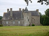 Kermerien castle
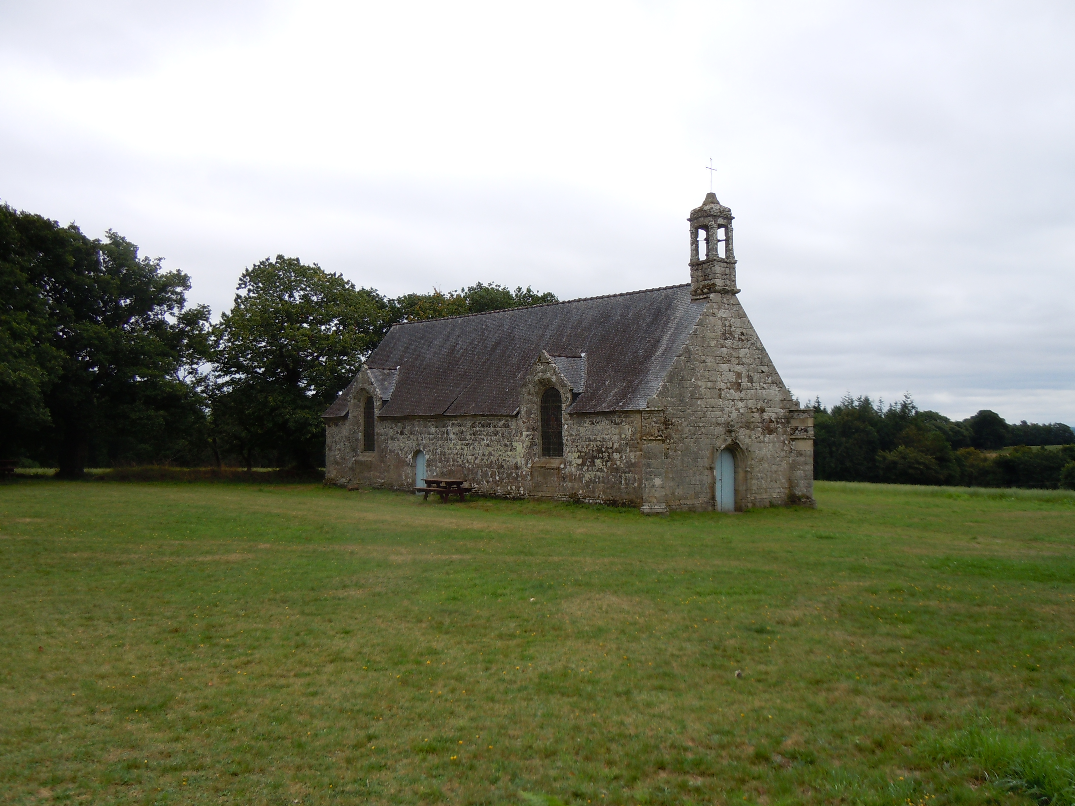
 Chapel Saint Cado
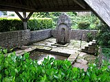 Washing-place in Saint-Caradec


See also
References
- "Maires du Morbihan" (PDF). Préfecture du Morbihan. 7 July 2020.
- "Populations légales 2019". The National Institute of Statistics and Economic Studies. 29 December 2021.
- INSEE commune file
External links
Wikimedia Commons has media related to Saint-Caradec-Trégomel.
- Base Mérimée: Search for heritage in the commune, Ministère français de la Culture. (in French)
- Mayors of Morbihan Association (in French)
Authority control | |
|---|---|
| General |
|
| National libraries | |
This Morbihan geographical article is a stub. You can help Wikipedia by expanding it. |
На других языках
[de] Saint-Caradec-Trégomel
Saint-Caradec-Trégomel (bretonisch: Sant-Karadeg-Tregonvael) ist eine französische Gemeinde mit 480 Einwohnern (Stand 1. Januar 2019) im Département Morbihan in der Region Bretagne. Sie gehört zum Gemeindeverband Roi Morvan Communauté.- [en] Saint-Caradec-Trégomel
[es] Saint-Caradec-Trégomel
Saint-Caradec-Trégomel (en bretón Sant-Karadeg-Tregonvael) es una población y comuna francesa, situada en la región de Bretaña, departamento de Morbihan, en el distrito de Pontivy y cantón de Guémené-sur-Scorff.[fr] Saint-Caradec-Trégomel
Saint-Caradec-Trégomel [sɛ̃ kaʁadɛk tʁegɔmɛl] est une commune française située dans le département du Morbihan, en région Bretagne.Текст в блоке "Читать" взят с сайта "Википедия" и доступен по лицензии Creative Commons Attribution-ShareAlike; в отдельных случаях могут действовать дополнительные условия.
Другой контент может иметь иную лицензию. Перед использованием материалов сайта WikiSort.org внимательно изучите правила лицензирования конкретных элементов наполнения сайта.
Другой контент может иметь иную лицензию. Перед использованием материалов сайта WikiSort.org внимательно изучите правила лицензирования конкретных элементов наполнения сайта.
2019-2025
WikiSort.org - проект по пересортировке и дополнению контента Википедии
WikiSort.org - проект по пересортировке и дополнению контента Википедии