world.wikisort.org - France
Locminé (French pronunciation: [lɔkmine]; Breton: Logunec'h) is a commune in the Morbihan department and Brittany region of north-western France.[3]
Locminé
Logunec'h | |
|---|---|
Commune | |
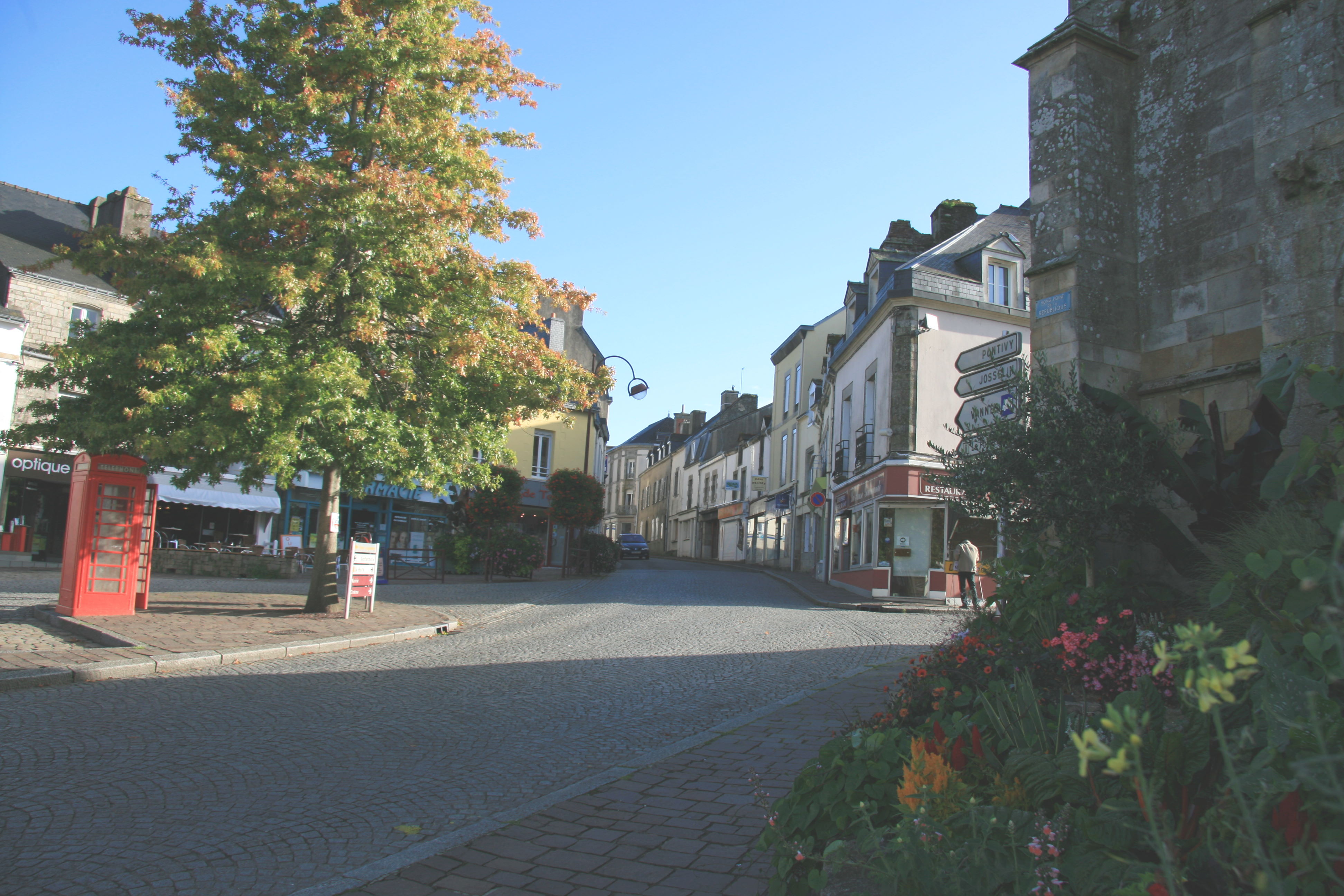 The Place de la République in Locminé | |
 Coat of arms | |
Location of Locminé  | |
 Locminé  Locminé | |
| Coordinates: 47°53′15″N 2°50′04″W | |
| Country | France |
| Region | Brittany |
| Department | Morbihan |
| Arrondissement | Pontivy |
| Canton | Grand-Champ |
| Intercommunality | Centre Morbihan Communauté |
| Government | |
| • Mayor (2020–2026) | Grégoire Super[1] |
| Area 1 | 4.86 km2 (1.88 sq mi) |
| Population | 4,505 |
| • Density | 930/km2 (2,400/sq mi) |
| Time zone | UTC+01:00 (CET) |
| • Summer (DST) | UTC+02:00 (CEST) |
| INSEE/Postal code | 56117 /56500 |
| Elevation | 69–153 m (226–502 ft) |
| 1 French Land Register data, which excludes lakes, ponds, glaciers > 1 km2 (0.386 sq mi or 247 acres) and river estuaries. | |
Toponymy
The name Locminé comes from the Breton Loc'h menec'h, itself from the Latin Locus monachorum – (sacred) place of the monks – after the monastery established here in 1008. Use of the term loc'h to denote the many small monasteries founded in Brittany between the eleventh and fourteenth centuries was commonplace, and this is the origin of the majority of parish names beginning in Loc-.
Population
| Year | Pop. | ±% |
|---|---|---|
| 1946 | 2,698 | — |
| 1954 | 2,236 | −17.1% |
| 1962 | 2,442 | +9.2% |
| 1968 | 2,675 | +9.5% |
| 1975 | 3,396 | +27.0% |
| 1982 | 3,424 | +0.8% |
| 1990 | 3,346 | −2.3% |
| 1999 | 3,430 | +2.5% |
| 2007 | 3,978 | +16.0% |
| 2017 | 4,372 | +9.9% |
Education
Locminé is home to the following educational establishments:
- Primary
- École primaire privée Notre Dame du Plaske (ages 3–11)
- École maternelle publique Réné Guy Cadou (ages 3–6)
- École élémentaire publique Annick Pizigot (ages 6–11)
- As of September 2019, 153 children (i.e. 22.5% of all those enrolled) were being educated in the bilingual (Breton / French) streams of Locminé's primary schools.[4]
- Junior secondary ("middle schools")
- Collège privé Jean-Pierre Calloc'h (ages 11–15)
- Collège public Jean Moulin (ages 11–15)
- Senior secondary ("high schools")
- Lycée professionnel privé Anne de Bretagne (ages 15+)
- Lycée professionnel public Louis Armand (ages 15+)
- The lycées professionnels are vocational high schools. Students from Locminé wishing to pursue "general" or "technical" courses (leading, potentially, to university-level education) must enrol at lycées further away, in, for example, Pontivy (22 km) or Vannes (26 km).
Twin towns
Locminé is twinned with:
See also
References
- "Maires du Morbihan" (PDF). Préfecture du Morbihan. 7 July 2020.
- "Populations légales 2019". The National Institute of Statistics and Economic Studies. 29 December 2021.
- INSEE commune file
- Office Publique de la Langue Bretonne (in French)
External links
Wikimedia Commons has media related to Locminé.
- Base Mérimée: Search for heritage in the commune, Ministère français de la Culture. (in French)
- Mayors of Morbihan Association (in French)
Authority control | |
|---|---|
| General |
|
| National libraries | |
This Morbihan geographical article is a stub. You can help Wikipedia by expanding it. |
На других языках
[de] Locminé
Locminé (bretonisch: Logunec'h) ist eine französische Gemeinde mit 4505 Einwohnern (Stand 1. Januar 2019) im Département Morbihan in der Region Bretagne.- [en] Locminé
[ru] Локмине
Локмине (фр. Locminé) — коммуна на северо-западе Франции, находится в регионе Бретань, департамент Морбиан, округ Понтиви, кантон Гран-Шан. Расположена в 29 км к северу от Вана и в 113 км к востоку от Кемпера, в 2 км от национальной автомагистрали N24.Текст в блоке "Читать" взят с сайта "Википедия" и доступен по лицензии Creative Commons Attribution-ShareAlike; в отдельных случаях могут действовать дополнительные условия.
Другой контент может иметь иную лицензию. Перед использованием материалов сайта WikiSort.org внимательно изучите правила лицензирования конкретных элементов наполнения сайта.
Другой контент может иметь иную лицензию. Перед использованием материалов сайта WikiSort.org внимательно изучите правила лицензирования конкретных элементов наполнения сайта.
2019-2026
WikiSort.org - проект по пересортировке и дополнению контента Википедии
WikiSort.org - проект по пересортировке и дополнению контента Википедии