world.wikisort.org - France
Chauffour-lès-Étréchy (French pronunciation: [ʃofuʁ lɛ.z‿etʁeʃi] (![]() listen), literally Chauffour near Étréchy) is a commune in the Essonne department in Île-de-France in northern France.
listen), literally Chauffour near Étréchy) is a commune in the Essonne department in Île-de-France in northern France.
Chauffour-lès-Étréchy | |
|---|---|
Commune | |
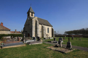 The church in Chauffour-lès-Étréchy | |
Location of Chauffour-lès-Étréchy  | |
 Chauffour-lès-Étréchy  Chauffour-lès-Étréchy | |
| Coordinates: 48°30′10″N 2°10′09″E | |
| Country | France |
| Region | Île-de-France |
| Department | Essonne |
| Arrondissement | Étampes |
| Canton | Dourdan |
| Intercommunality | Entre Juine et Renarde |
| Government | |
| • Mayor (2020–2026) | Fabien Pigeon[1] |
| Area 1 | 4.80 km2 (1.85 sq mi) |
| Population | 137 |
| • Density | 29/km2 (74/sq mi) |
| Time zone | UTC+01:00 (CET) |
| • Summer (DST) | UTC+02:00 (CEST) |
| INSEE/Postal code | 91148 /91580 |
| Elevation | 95–159 m (312–522 ft) |
| 1 French Land Register data, which excludes lakes, ponds, glaciers > 1 km2 (0.386 sq mi or 247 acres) and river estuaries. | |
Inhabitants of Chauffour-lès-Étréchy are known as Calidusiens.
See also
References
- "Répertoire national des élus: les maires" (in French). data.gouv.fr, Plateforme ouverte des données publiques françaises. 13 September 2022.
- "Populations légales 2019". The National Institute of Statistics and Economic Studies. 29 December 2021.
External links
Wikimedia Commons has media related to Chauffour-lès-Étréchy.
- Mayors of Essonne Association (in French)
This Essonne geographical article is a stub. You can help Wikipedia by expanding it. |
На других языках
[de] Chauffour-lès-Étréchy
Chauffour-lès-Étréchy ist eine Gemeinde im Département Essonne in der Region Île-de-France in Frankreich. Sie hat 137 Einwohner (Stand: 1. Januar 2019). Chauffour-lès-Étréchy gehört zum Arrondissement Étampes und zum Kanton Dourdan (bis 2015: Kanton Étréchy). Die Einwohner werden Calidusiens genannt.- [en] Chauffour-lès-Étréchy
Текст в блоке "Читать" взят с сайта "Википедия" и доступен по лицензии Creative Commons Attribution-ShareAlike; в отдельных случаях могут действовать дополнительные условия.
Другой контент может иметь иную лицензию. Перед использованием материалов сайта WikiSort.org внимательно изучите правила лицензирования конкретных элементов наполнения сайта.
Другой контент может иметь иную лицензию. Перед использованием материалов сайта WikiSort.org внимательно изучите правила лицензирования конкретных элементов наполнения сайта.
2019-2026
WikiSort.org - проект по пересортировке и дополнению контента Википедии
WikiSort.org - проект по пересортировке и дополнению контента Википедии