world.wikisort.org - Australia
Tiaro /ˈtaɪroʊ/ is a rural town and locality in the Fraser Coast Region, Queensland, Australia.[2][3] In the 2016 census, the locality of Tiaro had a population of 758 people.[1]
| Tiaro Queensland | |||||||||||||||
|---|---|---|---|---|---|---|---|---|---|---|---|---|---|---|---|
 Bruce Highway at Tiaro | |||||||||||||||
 Tiaro | |||||||||||||||
| Coordinates | 25.7236°S 152.5836°E | ||||||||||||||
| Population | 758 (2016 census)[1] | ||||||||||||||
| • Density | 8.876/km2 (22.988/sq mi) | ||||||||||||||
| Postcode(s) | 4650 | ||||||||||||||
| Area | 85.4 km2 (33.0 sq mi) | ||||||||||||||
| Time zone | AEST (UTC+10:00) | ||||||||||||||
| Location |
| ||||||||||||||
| LGA(s) | Fraser Coast Region | ||||||||||||||
| State electorate(s) | Maryborough | ||||||||||||||
| Federal division(s) | Wide Bay | ||||||||||||||
| |||||||||||||||
Geography
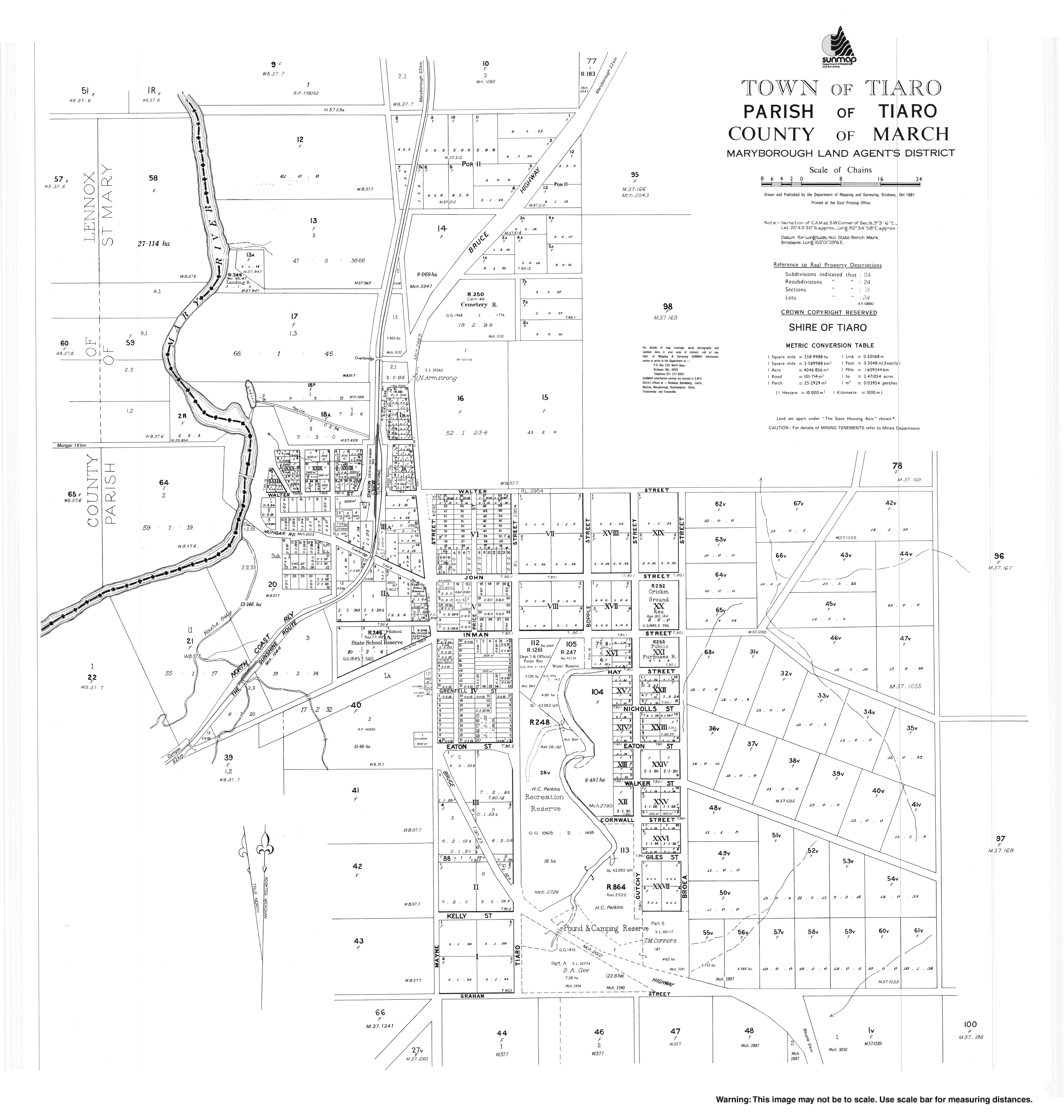
The town is on the Mary River. It is situated on the Bruce Highway 27 kilometres (17 mi) south of Maryborough and 227 kilometres (141 mi) north of the state capital, Brisbane.
Timber and farming are the predominant industries in the Tiaro area, although the town's position on Queensland's main coastal highway also brings economic benefits.
History
The town takes its name from the pastoral run name in the 1840s. It is believed to be a corruption of the Kabi word (Dauwabra dialect) meaning dead trees.[2]

The Tiaro War Memorial commemorates those who served in World War I. It was unveiled on 25 April 1921 (ANZAC Day) by Sir Thomas William Glasgow.[4][5]
Tiaro had one of the first butter factories in Queensland. Baron Jones built the factory near the railway station in the early 1880s and used horses to churn butter. Cheese factories were built at Tiaro in 1890 and 1894. The Tiaro Butter Factory was closed temporarily on the 1st of July 1897 due to a short supply of milk. The Maryborough Chronicle cites “On the whole the season has been fairly good, but the supply very short for a district like Tiaro. This, however, was principally owing to the winter last year being so severe, also the year before, when great numbers of milking cows died, and last spring being so dry”. Although it opened again, it struggled to make a profit.[6] The factory was later relocated to Murgon in 1913 as most of the cream suppliers came from that district.
The Tiaro library opened in 2006.[7]
At the 2006 census, Tiaro had a population of 433.[8]
In the 2016 census, the locality of Tiaro had a population of 758 people.[1]
Education
Tiaro State School is a government primary (Prep-6) school for boys and girls at 1 Forgan Terrace (25.7281°S 152.5811°E).[9][10] In 2017, the school had an enrolment of 31 students with 4 teachers (3 full-time equivalent) and 5 non-teaching staff (3 full-time equivalent).[11]
Amenities
The Fraser Coast Regional Council operates a public library at Forgan Terrace.[12] Public accessible wifi is provided.[12] Current Library services and collections are provided on the Fraser Coast Regional Libraries website.[13]
The Tiaro branch of the Queensland Country Women's Association meets at its rooms at 35 Mayne Street.[14]
Notable residents
- Thomas William Glasgow was born in Tiaro
See also
References
- Australian Bureau of Statistics (27 June 2017). "Tiaro (SSC)". 2016 Census QuickStats. Retrieved 20 October 2018.
- "Tiaro – town in Fraser Coast Region (entry 34492)". Queensland Place Names. Queensland Government. Retrieved 7 March 2022.
- "Tiaro – locality in Fraser Coast Region (entry 50086)". Queensland Place Names. Queensland Government. Retrieved 7 March 2022.
- "Tiaro War Memorial". Monument Australia. Archived from the original on 7 April 2014. Retrieved 6 April 2014.
- "PERSONAL". The Brisbane Courier. National Library of Australia. 19 April 1921. p. 9. Archived from the original on 26 July 2020. Retrieved 6 April 2014.
- "Fraser Coast Libraries Local History Blog: The Tiaro Butter Factory". 24 May 2020. Archived from the original on 22 December 2021. Retrieved 17 June 2022.
- "Queensland Public Library Statistical Bulletin 2016-17" (PDF). Public Libraries Connect. November 2017. Archived (PDF) from the original on 30 January 2018. Retrieved 19 January 2018.
- Australian Bureau of Statistics (25 October 2007). "Tiaro (L) (Urban Centre/Locality)". 2006 Census QuickStats. Retrieved 25 July 2009.
- "State and non-state school details". Queensland Government. 9 July 2018. Archived from the original on 21 November 2018. Retrieved 21 November 2018.
- "Tiaro State School". Archived from the original on 1 April 2020. Retrieved 21 November 2018.
- "ACARA School Profile 2017". Archived from the original on 22 November 2018. Retrieved 22 November 2018.
- "Tiaro Library". Public Libraries Connect. 27 March 2015. Archived from the original on 17 June 2022. Retrieved 19 January 2018.
- "Libraries Fraser Coast regional Council". Fraser Cost Regional Council. 2018. Archived from the original on 17 June 2022. Retrieved 19 January 2018.
- "Branch Locations". Queensland Country Women's Association. Archived from the original on 26 December 2018. Retrieved 26 December 2018.
External links
Другой контент может иметь иную лицензию. Перед использованием материалов сайта WikiSort.org внимательно изучите правила лицензирования конкретных элементов наполнения сайта.
WikiSort.org - проект по пересортировке и дополнению контента Википедии