world.wikisort.org - Australia
Aramara is a rural town and locality in the Fraser Coast Region, Queensland, Australia.[2][3] In the 2016 census, the locality of Aramara had a population of 57 people.[1]
| Aramara Queensland | |||||||||||||||
|---|---|---|---|---|---|---|---|---|---|---|---|---|---|---|---|
 Aramara | |||||||||||||||
| Coordinates | 25.6113°S 152.3213°E | ||||||||||||||
| Population | 57 (2016 census)[1] | ||||||||||||||
| • Density | 0.738/km2 (1.912/sq mi) | ||||||||||||||
| Postcode(s) | 4620 | ||||||||||||||
| Area | 77.2 km2 (29.8 sq mi) | ||||||||||||||
| Time zone | AEST (UTC+10:00) | ||||||||||||||
| LGA(s) | Fraser Coast Region | ||||||||||||||
| State electorate(s) | Maryborough | ||||||||||||||
| Federal division(s) | Wide Bay | ||||||||||||||
| |||||||||||||||
Geography
The Maryborough–Biggenden Road (State Route 86) runs through from east to west.[4]
History
The town's name is a Kabi language word Ooramara or Yuramurra, meaning many spotted gum trees (Eucalyptus maculata).[2]
Aramara Provisional School opened on 23 January 1899. On 1 January 1909, it became Aramara State School. It closed on 19 May 1967.[5]
In the 2016 census, the locality of Aramara had a population of 57 people.[1]
References
- Australian Bureau of Statistics (27 June 2017). "Aramara (SSC)". 2016 Census QuickStats. Retrieved 20 October 2018.
- "Aramara – town in Fraser Coast Region (entry 727)". Queensland Place Names. Queensland Government. Retrieved 27 December 2020.
- "Aramara – locality in Fraser Coast Region (entry 46624)". Queensland Place Names. Queensland Government. Retrieved 27 December 2020.
- Google (20 August 2021). "Aramara, Queensland" (Map). Google Maps. Google. Retrieved 20 August 2021.
- Queensland Family History Society (2010), Queensland schools past and present (Version 1.01 ed.), Queensland Family History Society, ISBN 978-1-921171-26-0
External links
Wikimedia Commons has media related to Aramara, Queensland.
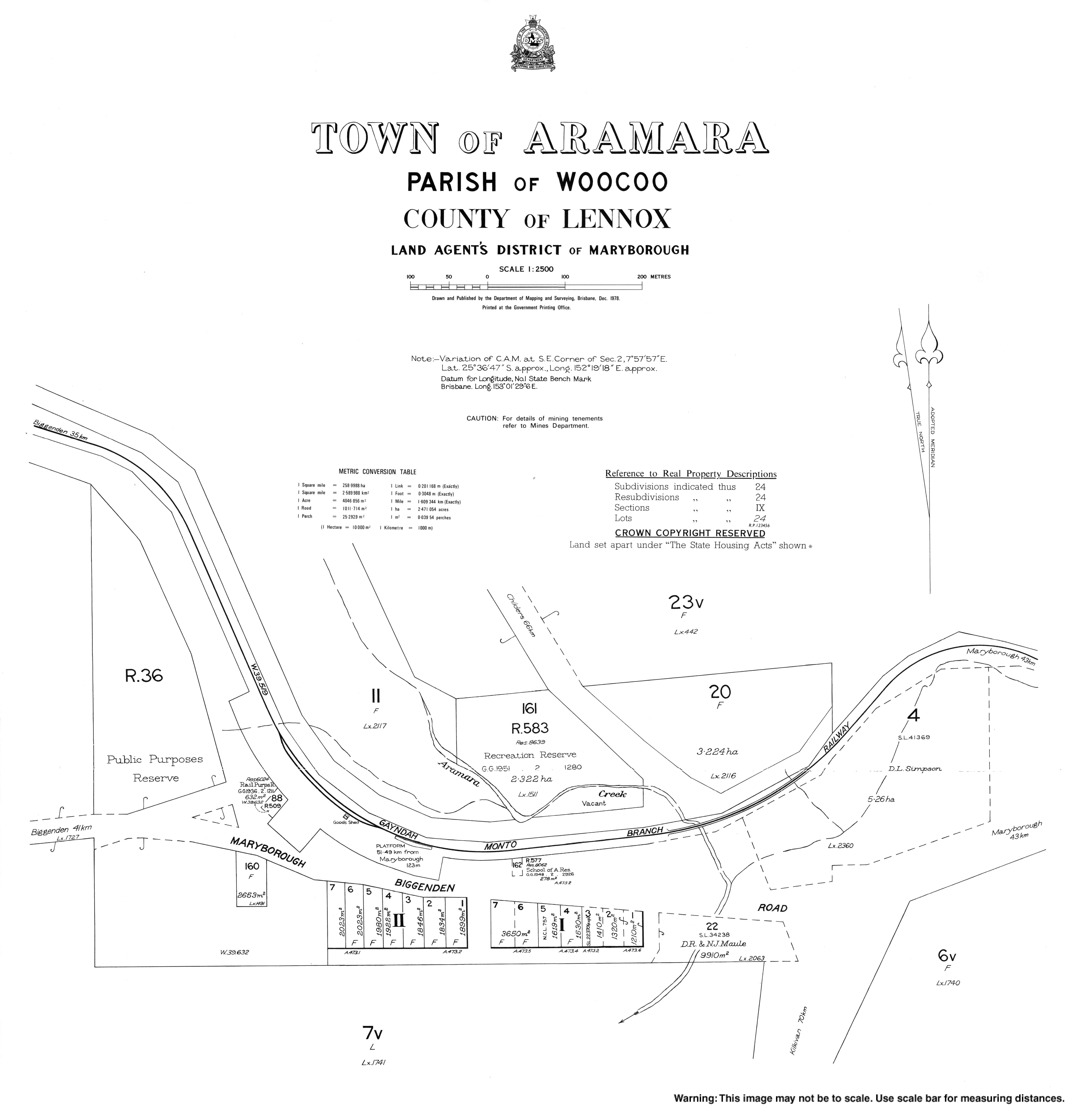
- "Town map of Aramara". Queensland Government. 1978.
Текст в блоке "Читать" взят с сайта "Википедия" и доступен по лицензии Creative Commons Attribution-ShareAlike; в отдельных случаях могут действовать дополнительные условия.
Другой контент может иметь иную лицензию. Перед использованием материалов сайта WikiSort.org внимательно изучите правила лицензирования конкретных элементов наполнения сайта.
Другой контент может иметь иную лицензию. Перед использованием материалов сайта WikiSort.org внимательно изучите правила лицензирования конкретных элементов наполнения сайта.
2019-2026
WikiSort.org - проект по пересортировке и дополнению контента Википедии
WikiSort.org - проект по пересортировке и дополнению контента Википедии