world.wikisort.org - Australia
Doongul is a rural locality in the Fraser Coast Region, Queensland, Australia.[2] In the 2016 census, Doongul had a population of 29 people.[1]
| Doongul Queensland | |||||||||||||||
|---|---|---|---|---|---|---|---|---|---|---|---|---|---|---|---|
 Doongul | |||||||||||||||
| Coordinates | 25.4761°S 152.3483°E | ||||||||||||||
| Population | 29 (2016 census)[1] | ||||||||||||||
| • Density | 0.1474/km2 (0.382/sq mi) | ||||||||||||||
| Postcode(s) | 4620 | ||||||||||||||
| Area | 196.8 km2 (76.0 sq mi) | ||||||||||||||
| Time zone | AEST (UTC+10:00) | ||||||||||||||
| Location |
| ||||||||||||||
| LGA(s) | Fraser Coast Region | ||||||||||||||
| State electorate(s) | Maryborough | ||||||||||||||
| Federal division(s) | Wide Bay | ||||||||||||||
| |||||||||||||||
Geography
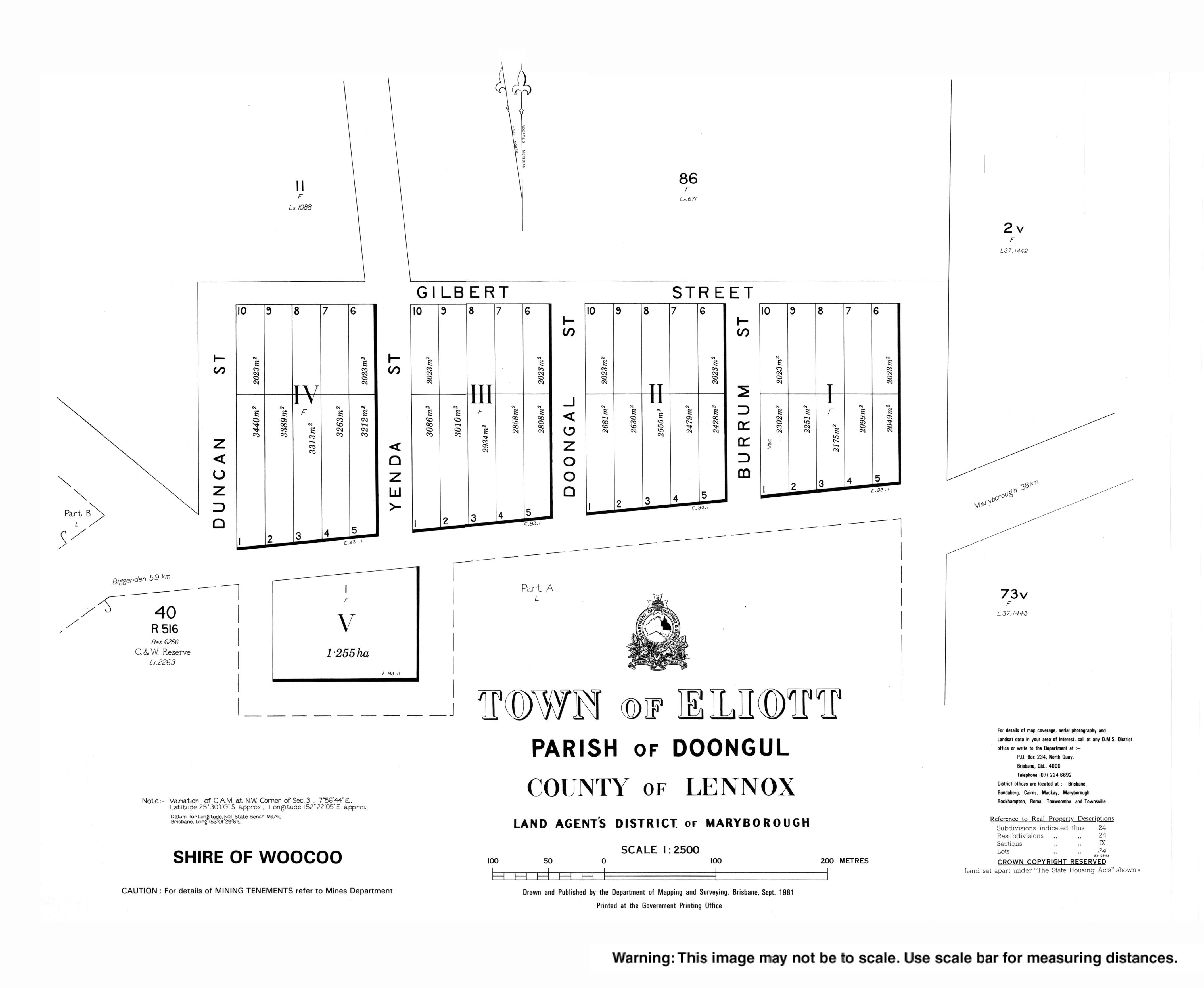
The former town of Eliott (25.50°S 152.37°E) is within Doongul on the Old Gayndah Road.[3][4]
History
The locality was previously known as Muskat Flat.[2] It presumably takes its present name Doongul from the Doongul parish and Doongul Creek, which are thought to take their name from the Doongal pastoral run, described in 1862 as being 20 miles (32 km) from Maryborough.[5][6][7]
On 18 July 1864, 39 town lots were offered for sale in Eliott.[8][9]
In 1877, 20,200 acres (8,200 ha) of land was resumed from the Lower Doongul pastoral run to establish smaller farms. A further 6,000 acres (2,400 ha) was resumed from the Doongul pastoral run. The land was offered for selection on 17 April 1877.[10]
References
- Australian Bureau of Statistics (27 June 2017). "Doongul (SSC)". 2016 Census QuickStats. Retrieved 20 October 2018.
- "Doongul – locality in Fraser Coast Region (entry 46643)". Queensland Place Names. Queensland Government. Retrieved 10 June 2019.
- "Eliott – town in Fraser Coast Region (entry 11481)". Queensland Place Names. Queensland Government. Retrieved 24 February 2020.
- "Queensland Globe". State of Queensland. Retrieved 19 February 2020.
- "Doogul – parish in Fraser Coast Region (entry 10356)". Queensland Place Names. Queensland Government. Retrieved 20 October 2019.
- "Doogul Creek – watercourse in Fraser Coast Region (entry 10357)". Queensland Place Names. Queensland Government. Retrieved 20 October 2019.
- "Advertising". Maryborough Chronicle, Wide Bay and Burnett Advertiser. Vol. II, no. 63. Queensland, Australia. 30 January 1862. p. 3. Retrieved 20 October 2019 – via National Library of Australia.
- "PROJECTED LAND SALES". The Brisbane Courier. Vol. XVIII, no. 2035. Queensland, Australia. 21 May 1864. p. 4. Retrieved 20 October 2019 – via National Library of Australia.
- "Advertising". Maryborough Chronicle, Wide Bay and Burnett Advertiser. Vol. IV, no. 190. Queensland, Australia. 7 July 1864. p. 4. Retrieved 20 October 2019 – via National Library of Australia.
- "Proclamations under the New Land Acts". The Brisbane Courier. Queensland, Australia. 2 March 1877. p. 3. Retrieved 19 February 2020 – via Trove.
External links
Другой контент может иметь иную лицензию. Перед использованием материалов сайта WikiSort.org внимательно изучите правила лицензирования конкретных элементов наполнения сайта.
WikiSort.org - проект по пересортировке и дополнению контента Википедии